
59th Avenue
Route 59 travels along 59th Avenue from Buckeye Road in the south to Beardsley Road in the north.
Existed since: 1993
Operator: Transdev
Annual Ridership: Loading ridership...
Full Length: 17 miles
Current Full Route: 59th Ave & Buckeye Rd to 59th Ave & Beardsley Rd
Original Full Route: 59th Ave & McDowell Rd to 59th Ave & Union Hills Dr
Connecting Routes: 3 13 17 29 41 50 60 70 80 90 106 138 170 186 GAL GUS1 GUS3 MARY
Detailed Route Info
All Trips
Northbound
59th Ave & Buckeye Rd to 59th Ave & Beardsley Rd (Everyday)
59th Ave & Buckeye Rd to 59th Ave & Camelback Rd (Everyday)
Southbound
Regular Route
59th Ave & Beardsley Rd to 59th Ave & Buckeye Rd (Everyday)
59th Ave & Camelback Rd to 59th Ave & Buckeye Rd (Everyday)
School Trips
59th Ave & Olive Ave to 59th Ave & Van Buren St (School days only)
Schedule
History

The earliest known routing of route 59 is from August 18, 1997, when the route ran from 59th Ave & McDowell Rd, to Honeywell at 55th Ave & Talavi Blvd, to 59th Ave & Union Hills Dr and Honeywell on 55th Ave north of Union Hills Dr. On August 14, 2000, the southern end of the route was extended down 59th Ave, then down Buckeye Rd to 67th Ave. On January 23, 2012, the northern end of the route was extended east along Union Hills Dr, north on 57th Ave, west on Utopia Rd, north up 59th Ave, west on Behrend Dr, north up 61st Ave, and east on Beardsley Rd (Loop 101) to end at 59th Ave & Beardsley Rd. On April 23, 2018, the deviation along 57th Ave was eliminated and the route was streamlined onto 59th Ave.
Pictures

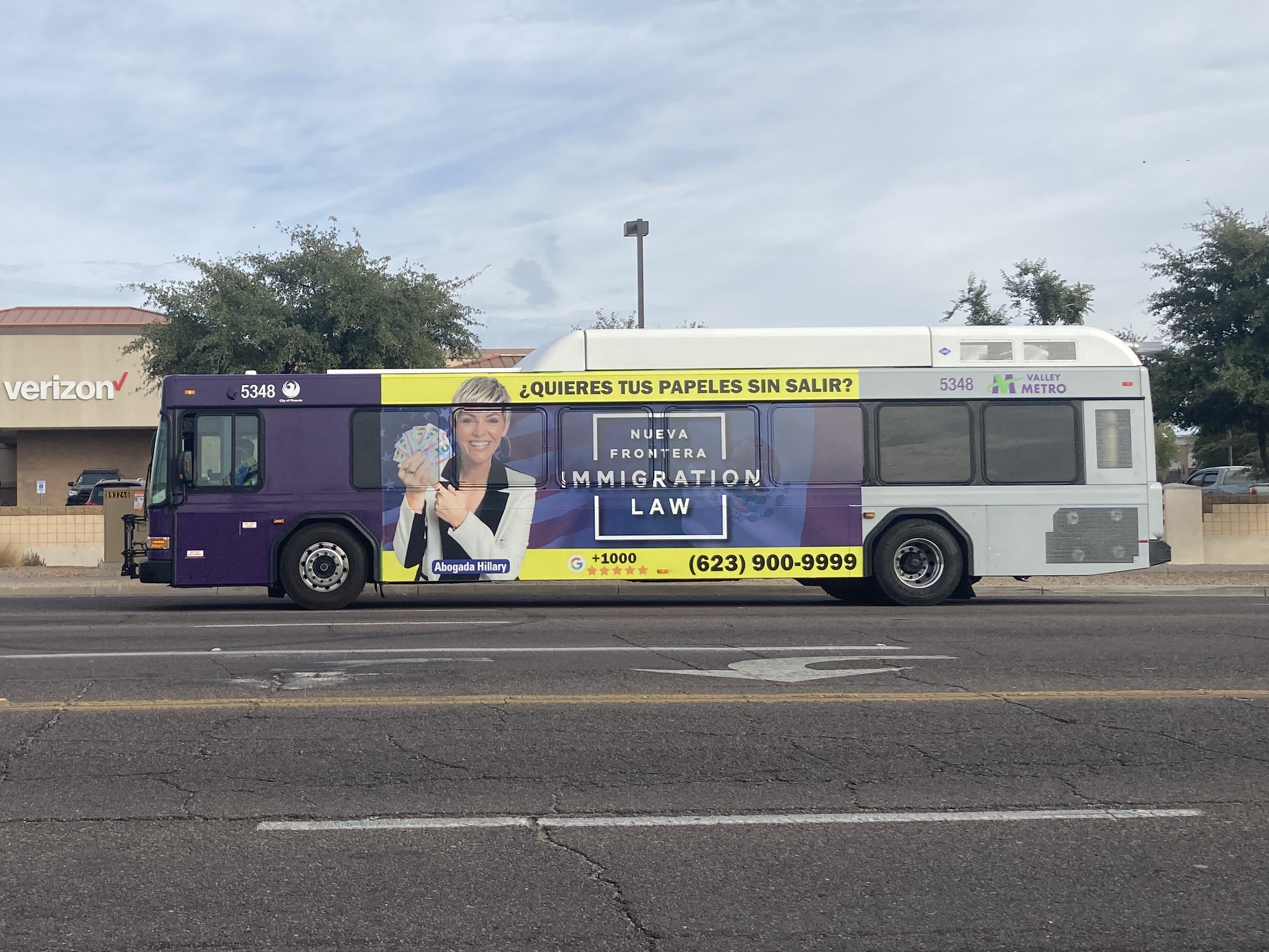
11/27/2024 - Bus 5348 traveling 59 Northbound @ 59th Ave & Northern Ave - Glendale

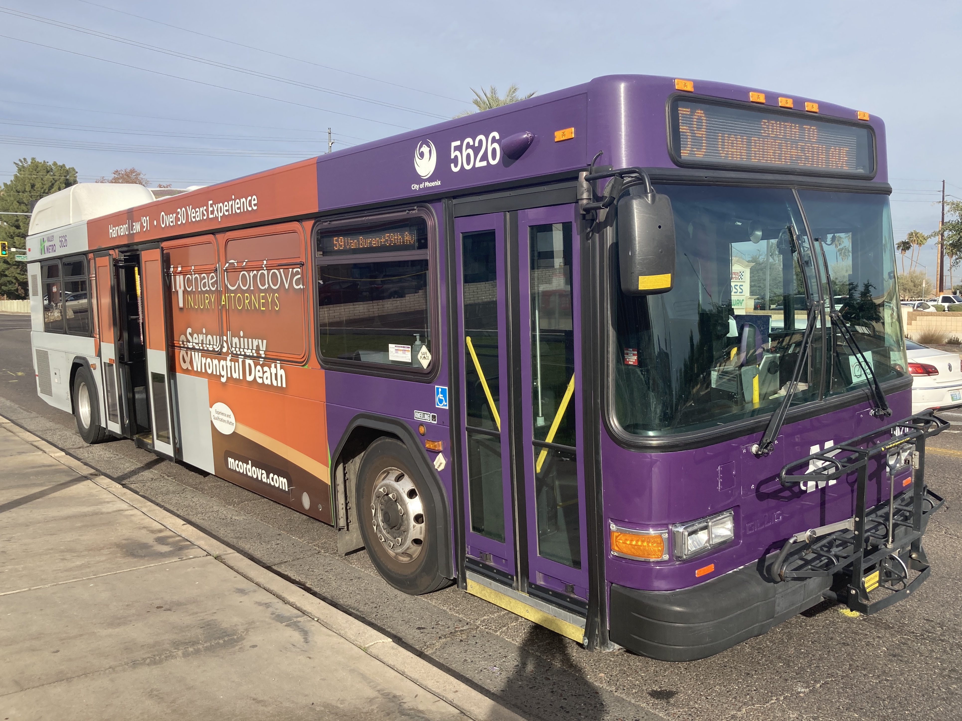
11/27/2024 - Bus 5626 traveling 59s (school trip) Southbound @ 59th Ave & Northern Ave - Glendale
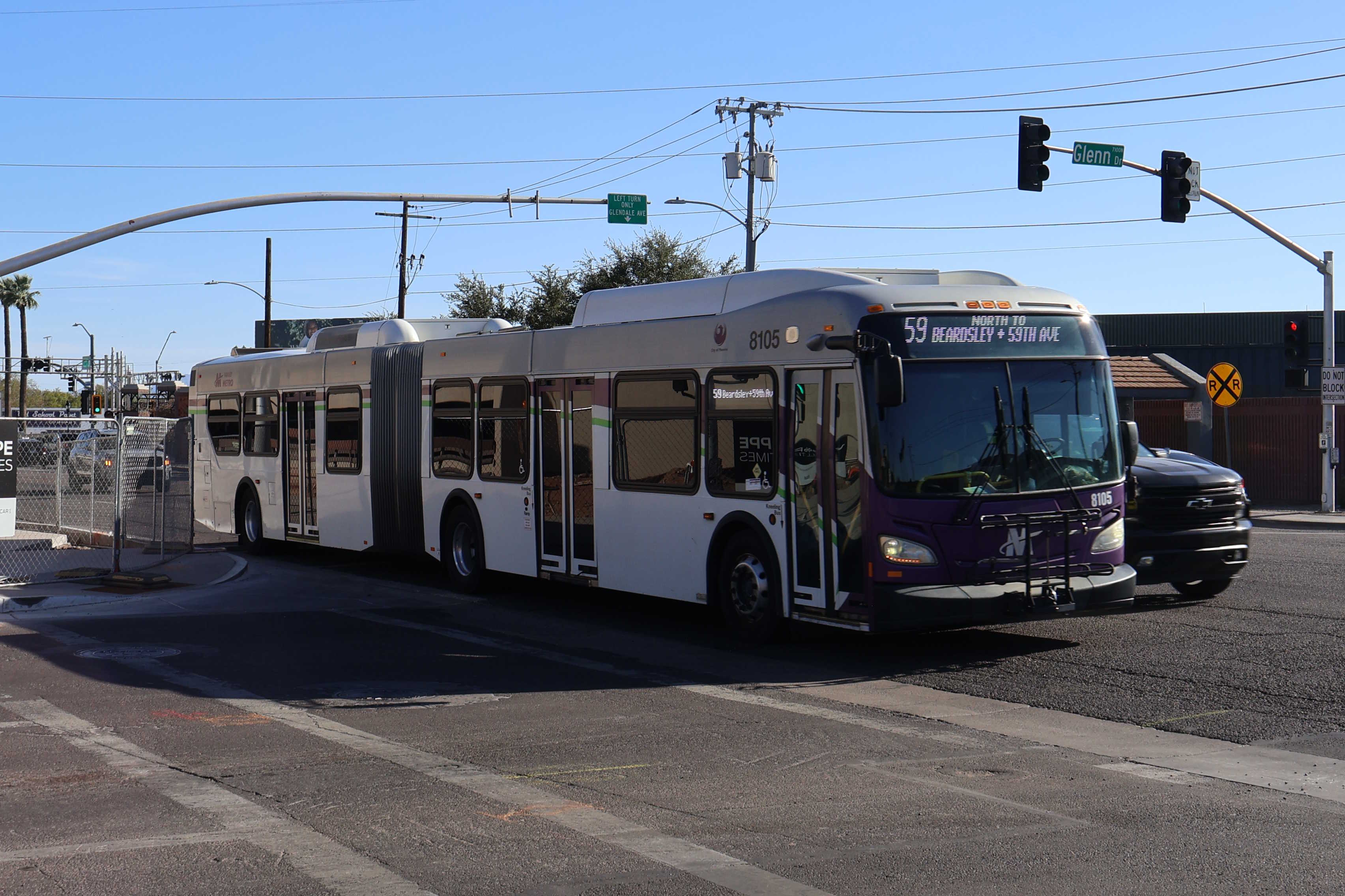
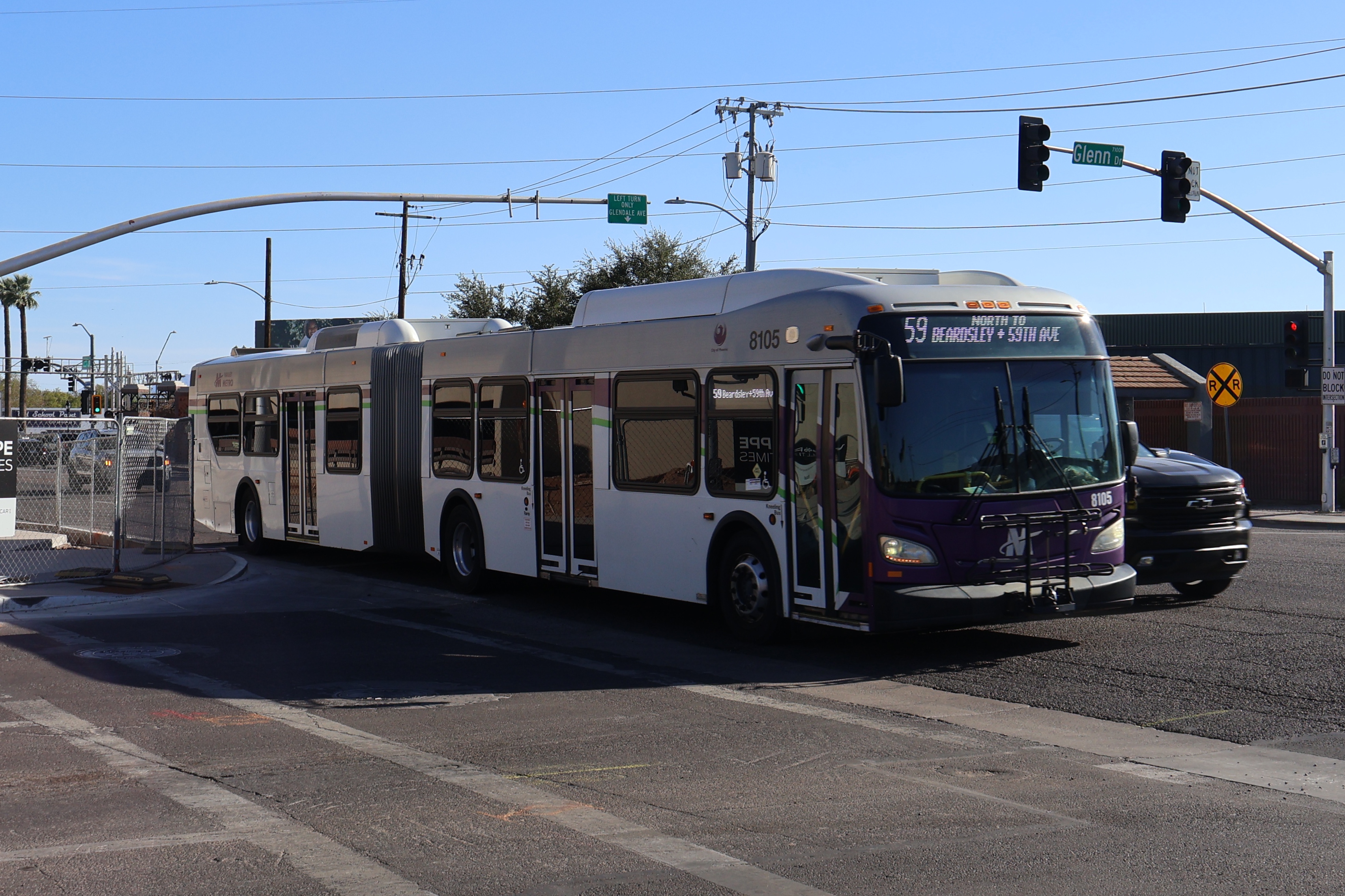
8/4/2025 - Bus 8105 traveling 59 Northbound @ 59th Ave & Glenn Dr - Glendale
Page last updated: