
Roosevelt Street
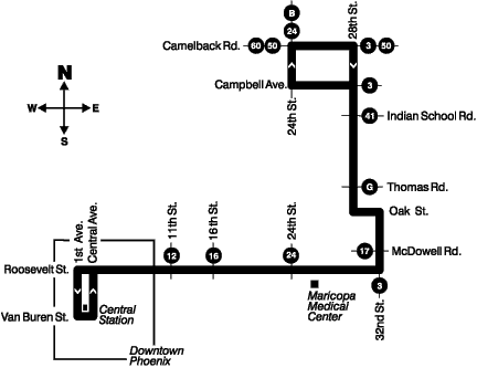
Route 10 runs along Roosevelt St from Central Station to Roosevelt St & 32nd St.
Existed since: 1993
Operator: Transdev-Phoenix
Annual Ridership: Loading ridership...
Full Length: 4 miles
Current Full Route: Central Ave & Polk St to 32nd St & Roosevelt St
Original Full Route: Central Station to 32nd St & Camelback Rd
Connecting Routes: B 0 0A 1 3 7 8 12 16 32 70 514 521 522 531 533 535 542 562 563 571 573 575 GAL I10E I10W I17 SME SMW SR51
Detailed Route Info
All Trips
Eastbound
Central Ave & Polk St to 32nd St & Roosevelt St (Everyday)
Westbound
Roosevelt St & 32nd St to Van Buren St & Central Ave (Everyday)
Schedule
History
- August 18, 1997 - The earliest known routing of route 10 traveled from the old bus terminal on 1st St between Washington St & Jefferson St, up 1st St, along Roosevelt St, up 32nd St, Oak St, and 28th St to Camelback Rd
- March 19, 2000 - By this point, route 10 had been modified to serve the new Central Station
- January 14, 2002 - Route 10 was combined with the old route 28, extending route 10's western terminus to Lower Buckeye Rd & 35th Ave
- February 24, 2003 - Western end adjusted to no longer enter South Facility and to instead end at R.C. Esterbrooks Blvd & Durango St
- July 25, 2005 - Western end extended back to Lower Buckeye Rd & 35th Ave
- July 26, 2010 - Eastern end rerouted to use 32nd St instead of 28th St and terminus moved to 32nd St & Camelback Rd to replace route 32
- July 22, 2013 - Western end extended to Lower Buckeye Rd & 67th Ave
- January 27, 2014 - Western end extended to Lower Buckeye Rd & 75th Ave
- October 27, 2014 - Western end truncated to Central Station due to the creation of the new route 28
- April 25, 2016 - Eastern end truncated to 32nd St & Roosevelt St due to route 32 being reinstated
Pictures

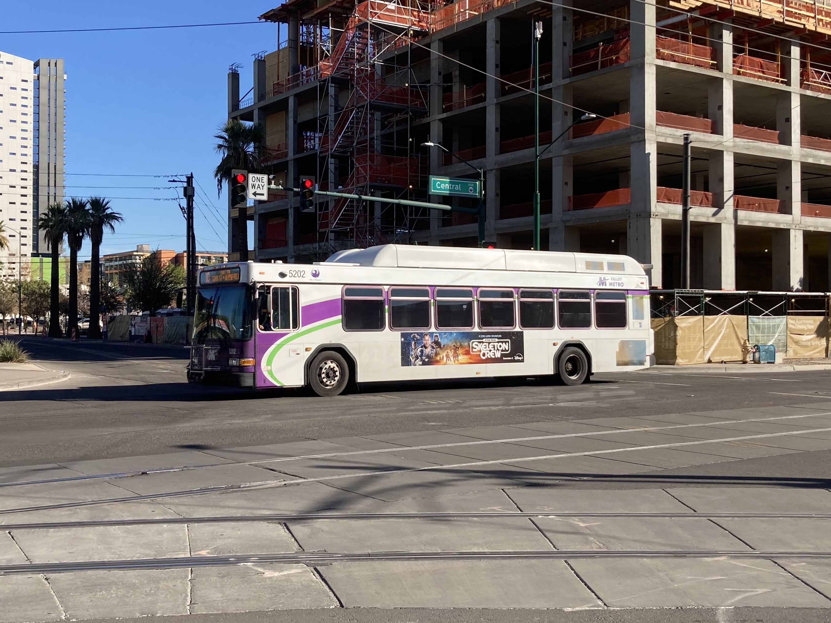
11/10/2024 - Bus 5202 traveling 10 Eastbound @ Central Ave & McKinley St - Phoenix
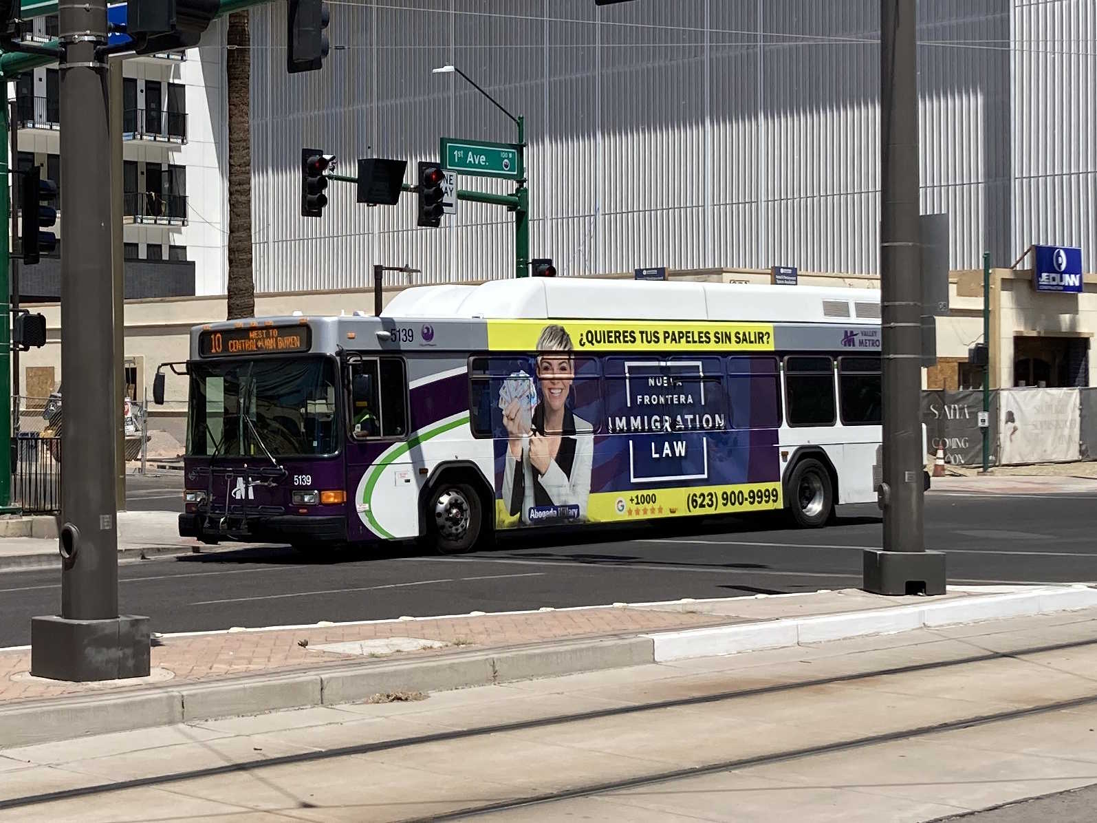
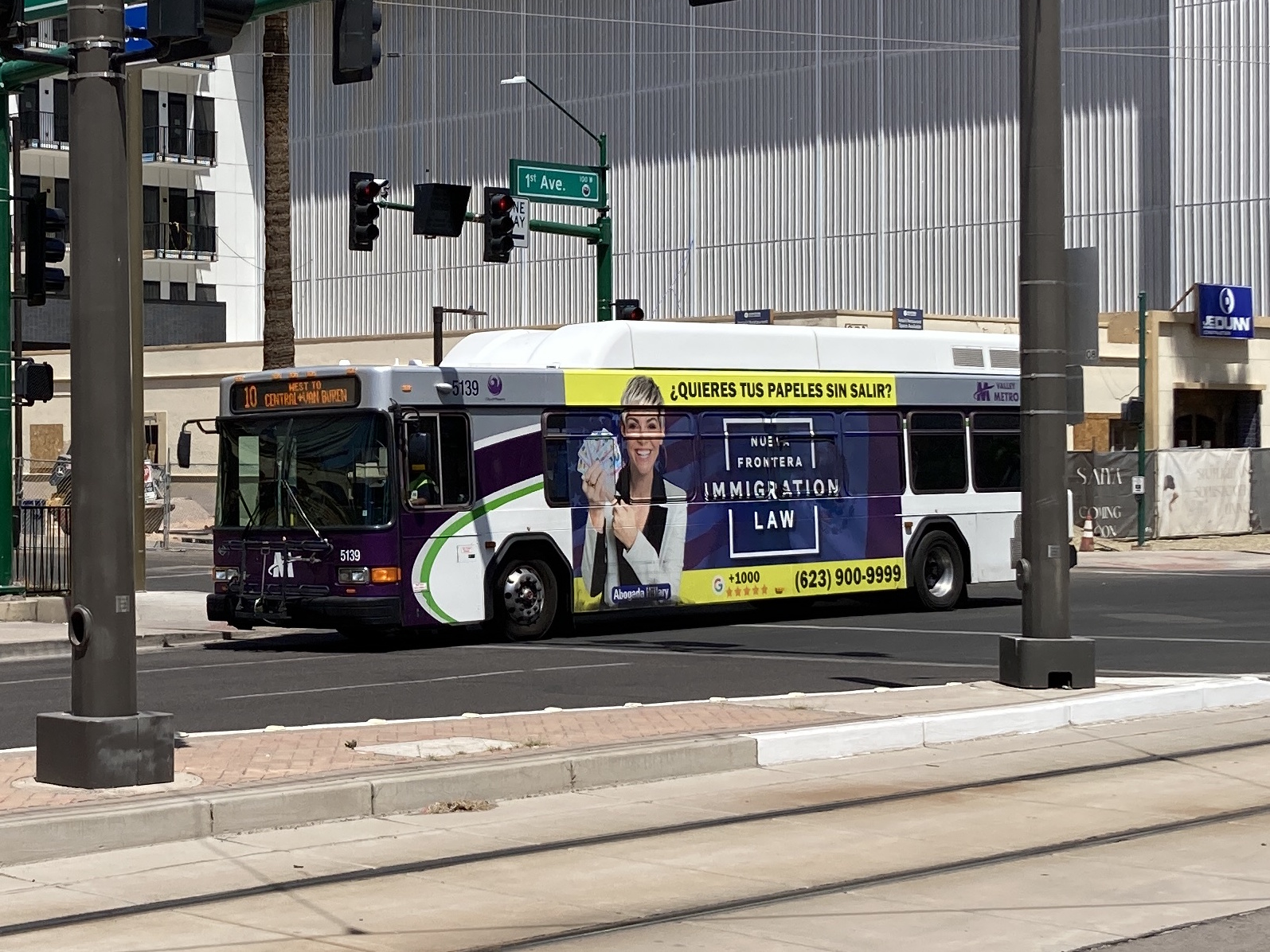
5/18/2025 - Bus 5139 traveling 10 Westbound @ 1st Ave & McKinley St - Phoenix

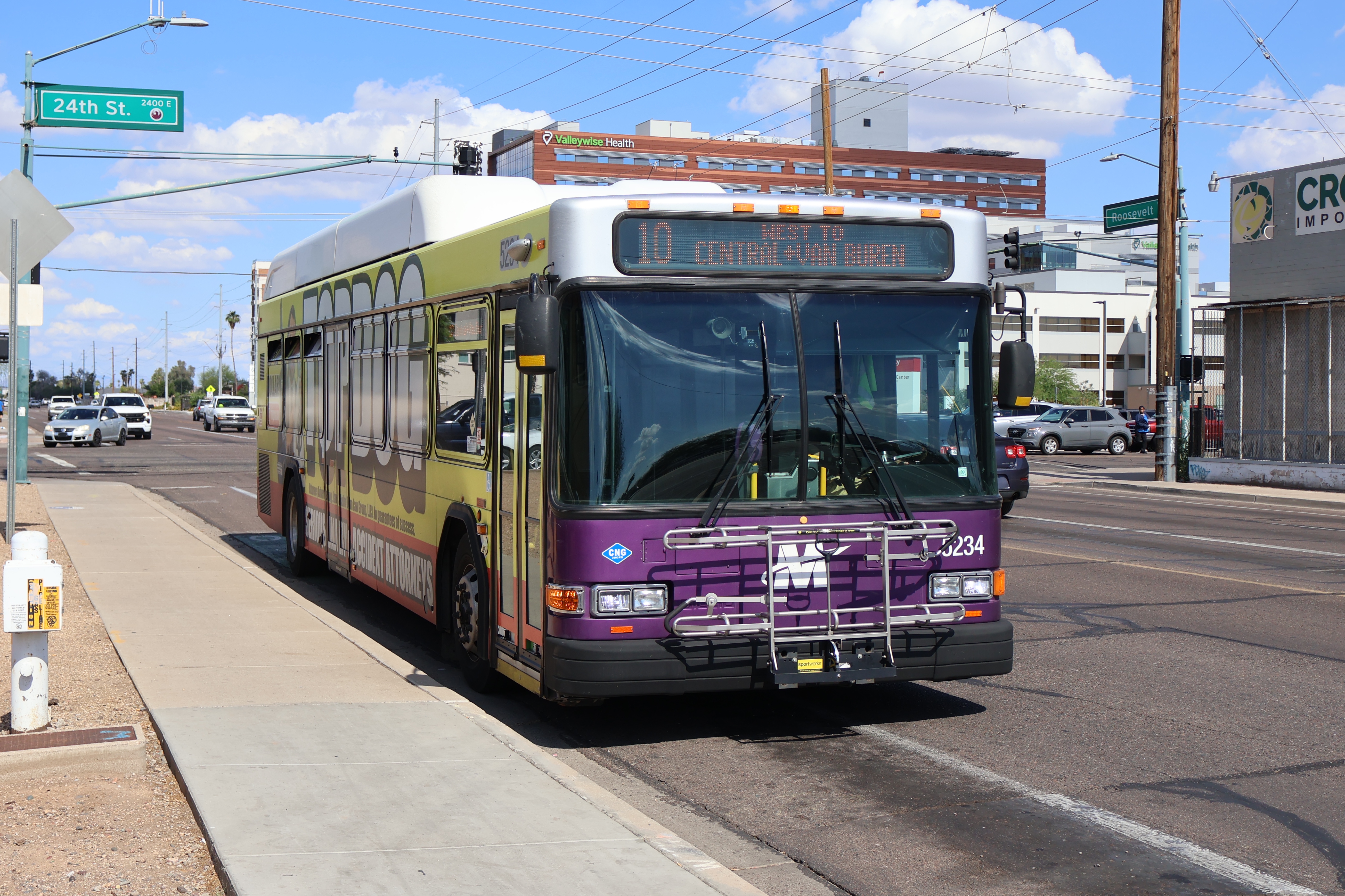
6/2/2025 - Bus 5234 traveling 10 Westbound @ Roosevelt St & 24th St - Phoenix
Page last updated: