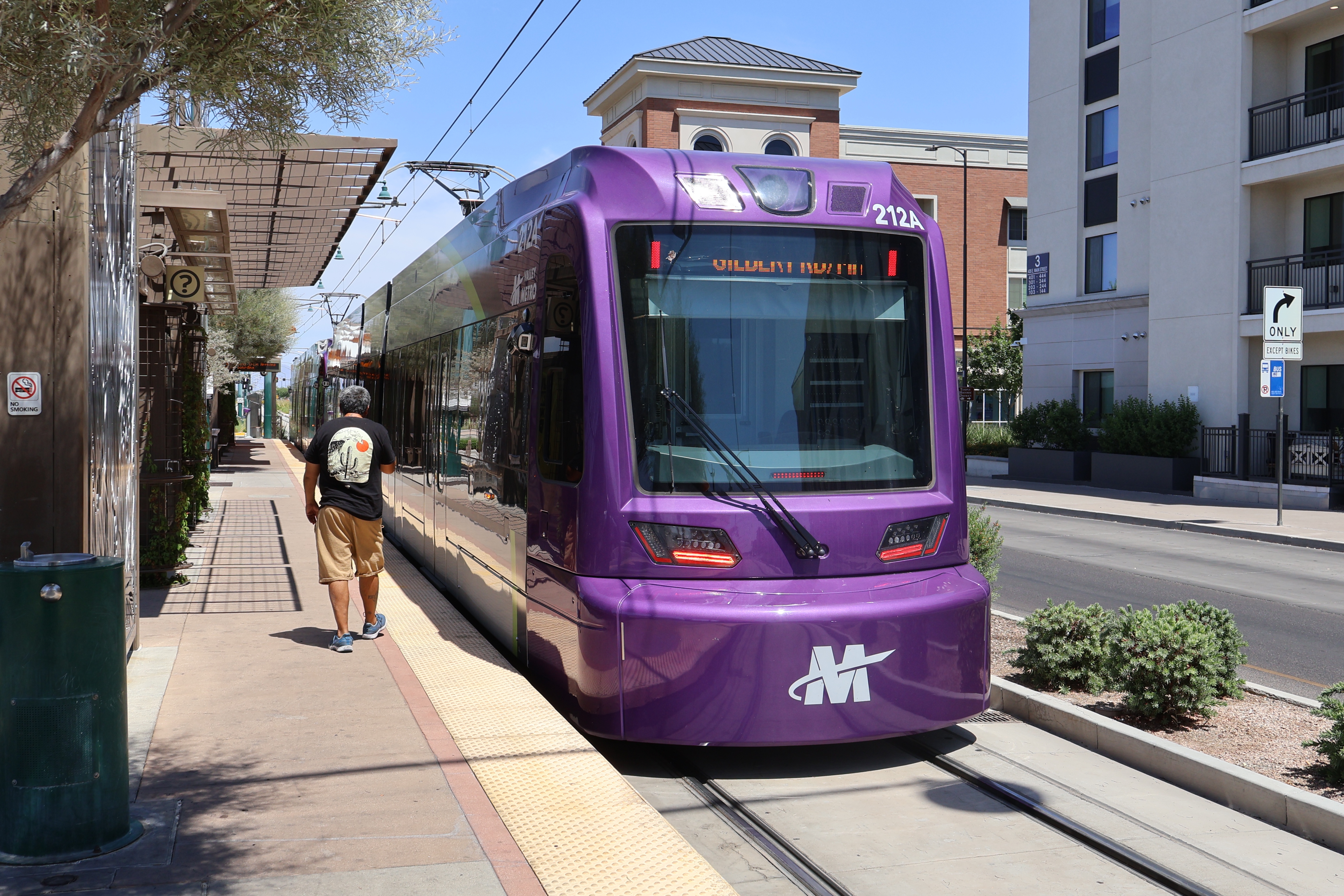
Valley Metro Rail
Valley Metro Rail is the name of the Phoenix metro area's light rail system and was also the name of the original 30-mile light rail route that traveled from Metro Parkway station to Gilbert Rd/Main St station.
Current System Stats
Existed since: 2008Annual System Ridership: Loading ridership...
Full System Length: 37 miles
Current System Route: See A B S pages
Historical Route Stats
Existed: 2008 - 2025Last Operator: Valley Metro
Annual Ridership: 10,162,295 (FY 2024) | 7.0% (9,498,986 FY 2023)
Full Length: 30 miles
Latest Full Route: Metro Pkwy to Gilbert Rd/Main St
Original Full Route: Montebello/19th Ave to Sycamore/Main St
Connecting Routes: S SKYT 0 0A 1 3 7 8 10 12 15 17 19 27 29 30 32 35 40 41 44 45 48 50 56 60 62 66 70 72 80 81 90 96 104 106 112 120 122 128 136 514 521 522 531 533 535 542 562 563 571 573 575 GAL I10E I10W I17 SME SMW SR51 DBUZ EART FBUZ FLSH JUPI MARS MERC VENU
Detailed Historical Route Info
All Trips
Eastbound
Metro Pkwy to Gilbert Rd/Main St (Everyday)
19th Ave/Camelback to Gilbert Rd/Main St (Everyday)
Priest Dr/Washington St to Gilbert Rd/Main St (Everyday)
Metro Pkwy to 44th St/Washington (Everyday)
Westbound
Gilbert Rd/Main St to Metro Pkwy (Everyday)
Sycamore/Main St to Metro Pkwy (Everyday)
Veterans Way/College Ave to Metro Pkwy (Everyday)
50th St/Washington St to Metro Pkwy (Everyday)
Gilbert Rd/Main St to Priest Dr/Washington St (Everyday)
Schedule
System History
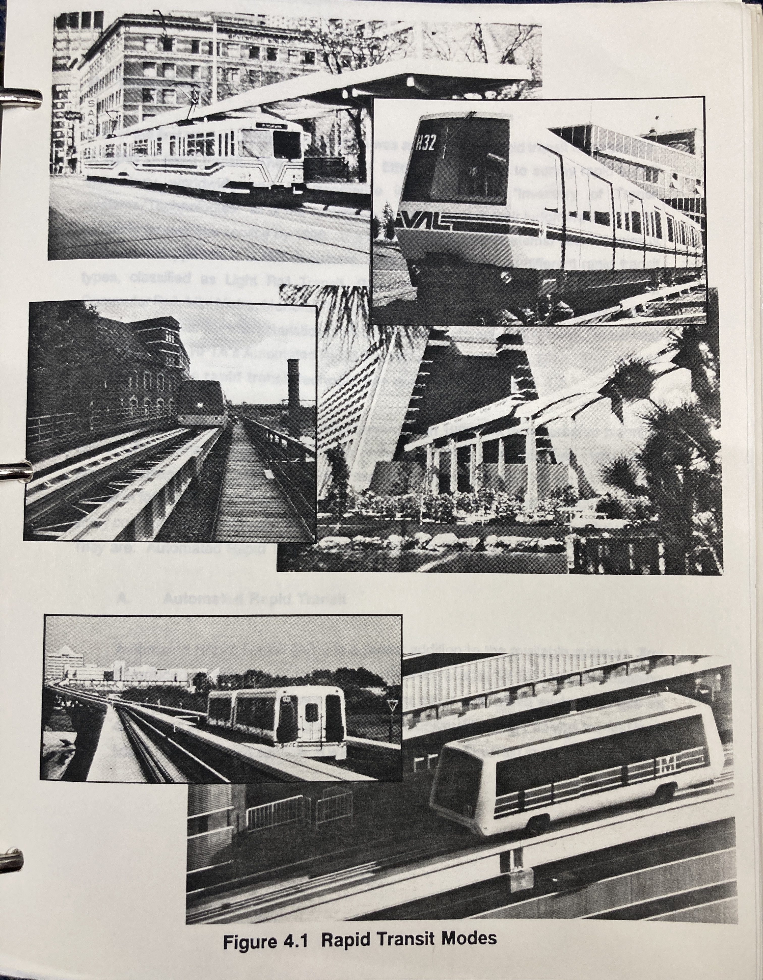
Phoenix, like many other American cities of the time, did have a streetcar network back in the late 19th and early 20th centuries. (You can learn more about this here). However, modern, local rail service in Phoenix was originally envisioned in the 1980s, specifically in the ValTrans Regional Public Transportation Plan for Maricopa County from October 1988. Here, a few rapid transit modes were proposed for Phoenix: Automated Rapid Transit (ART), Busway Rapid Transit (BRT), and Light Rail Transit (LRT). Commuter rail was also explored as an option to travel to the East Valley from Downtown Phoenix via Southern Pacific Railroad Tracks.
At the time, ART was selected as the recommended alternative because its elevated guideway would've made it faster than LRT and it would've been less costly to operate because of its automated nature. LRT and BRT were also considered as a secondary option for specific projects, such as along the Interstate 10 corridor. Specifically, this plan recommended 103 miles of ART and 27 miles of BRT along Interstate 10. The plan also called for 97 ART stations and 22 BRT stations. There were 8 corridors studied by the RPTA at the time, such as an East Valley corridor, Central, Camelback, Black Canyon, 44th Street, Mesa-Chandler, Papago and Maricopa, and Northeast.
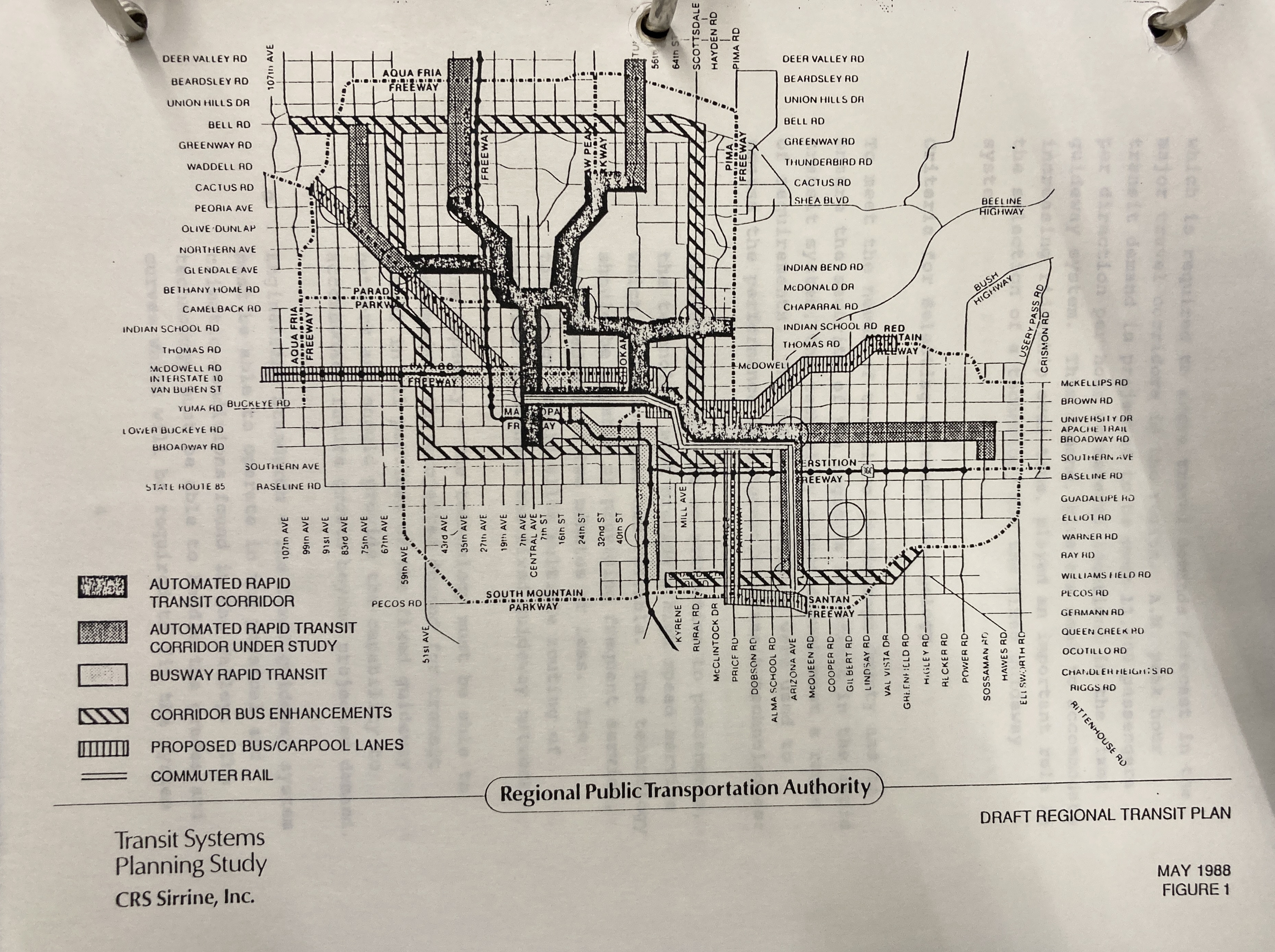
On the left is the map from the 1988 RPTA regional rapid transit plan. The very first ART line that was planned was to run from Downtown Glendale along the Camelback Corridor, down the Central Corridor, and along the East Valley Corridor, through Sky Harbor International Airport, to Downtown Tempe. This planned ART line is very similar to the current light rail line, though it has obviously ended up as LRT instead of ART, and does not travel all the way to Glendale, but does travel through Mesa.
The other priority at the time was the BRT line along Interstate 10. This BRT plan is why the I-10 median is so wide west of 24th Street and why there is a giant facility in the median of I-10 under the Deck Park Tunnel, that was meant to be a bus terminal! Commuter rail service was also planned during the first stage of this plan, but clearly neither of these plans have came to fruition. However, not all hope is lost for the I-10 corridor. There are plans to extend the current light rail from Downtown Phoenix, along the I-10 corridor, to 79th Avenue, which we will hopefully see soon.
Obviously, none of the ideas that were proposed in 1988 exist today, because the plan was shot down by voters at the time. While we don't quite have the rapid transit system that was originally planned for Phoenix, we do at least have the light rail.
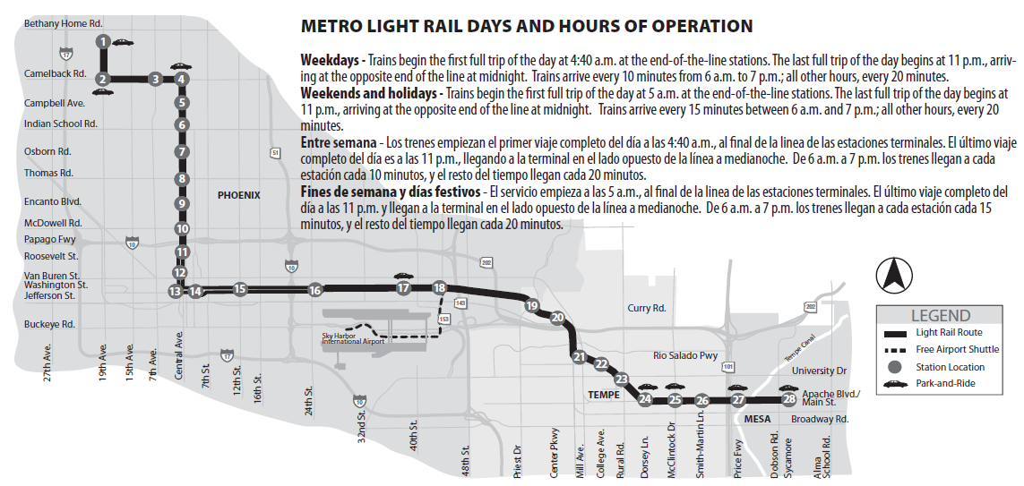
The current light rail was a part of the Transit 2000 Regional Transportation Plan, approved by voters in 2000, with additional funding approved in 2004. Construction on the initial light rail line began in March 2005, with its grand opening on December 27, 2008, with the line traveling from Montebello/19th Ave station, down 19th Ave and along Camelback Rd, down Central Ave, through Downtown Phoenix and along Jefferson and Washington Streets, across the Salt River and into Downtown Tempe, then along Terrace Rd and Apache Blvd, becoming Main St in Mesa, and ending at Sycamore/Main St station.
The first extension began construction in July 2012 and opened to the public on August 22, 2015, extending the eastern end from Sycamore to Mesa Dr/Main St.
The next extension began construction in January 2013, opening on March 19, 2016, extending the western end of the route from Montebello/19th Ave to 19th Ave/Dunlap.
An infill station was added on April 25, 2019 at 50th St/Washington St.
Another eastern extension started construction in October 2016 and opened on May 18, 2019, extending the light rail to Gilbert Rd/Main St.
In July 2020, another extension began construction which was opened on January 27, 2024, extending the western end of the light rail down Dunlap Ave, up 25th Ave, and over to Metro Pkwy station at Thelda Williams Transit Center (the former Metrocenter Mall).
Construction also began, in October 2019, on the South Central Extension & Downtown Hub. This extension opened on July 8, 2025, extending the light rail system south down Central Ave from Downtown Phoenix to Baseline Rd. At this time, the light rail system was split into two routes; the A Line, traveling from the new Downtown Phoenix Hub, through Tempe, and ending in Mesa, and the B Line, serving North/South Phoenix, traveling from Baseline/Central Ave to Metro Parkway. This extension brings the overall light rail system to about 34 miles (37 miles including the streetcar).
Future Expansion
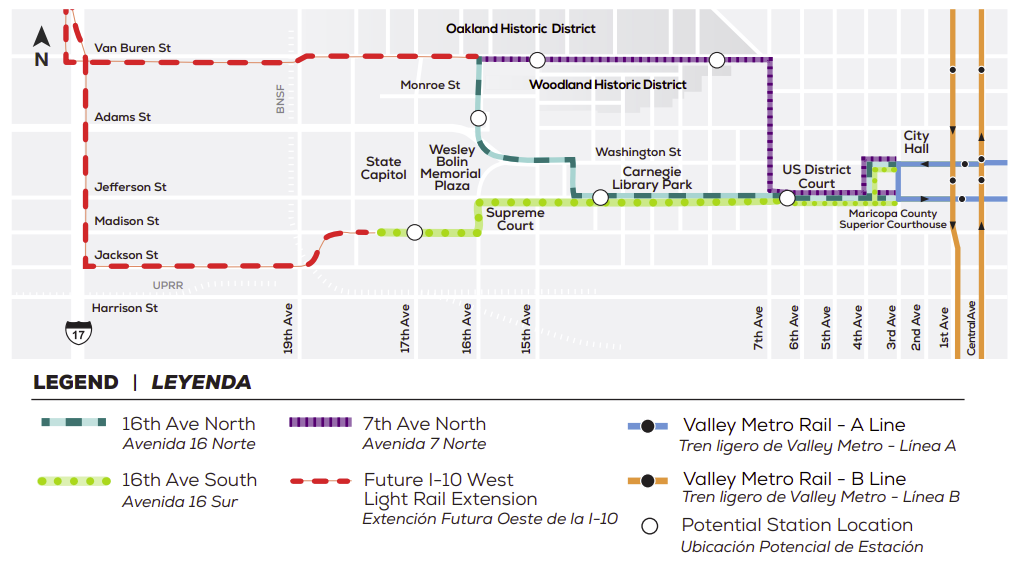
Capitol Extension
The Capitol Extension was a proposed light rail extension that would've traveled along the Washington and Jefferson St corridor from 3rd Ave. The original plan involved an extension to 19th Ave until legislation (SB 1102) was passed restricting how close light rail could be to the State Capitol. Construction was anticipated to begin in 2026, but on January 27, 2026, Phoenix City Council voted to re-evaluate high-capacity transit options for West Phoenix, essentially killing this extension.
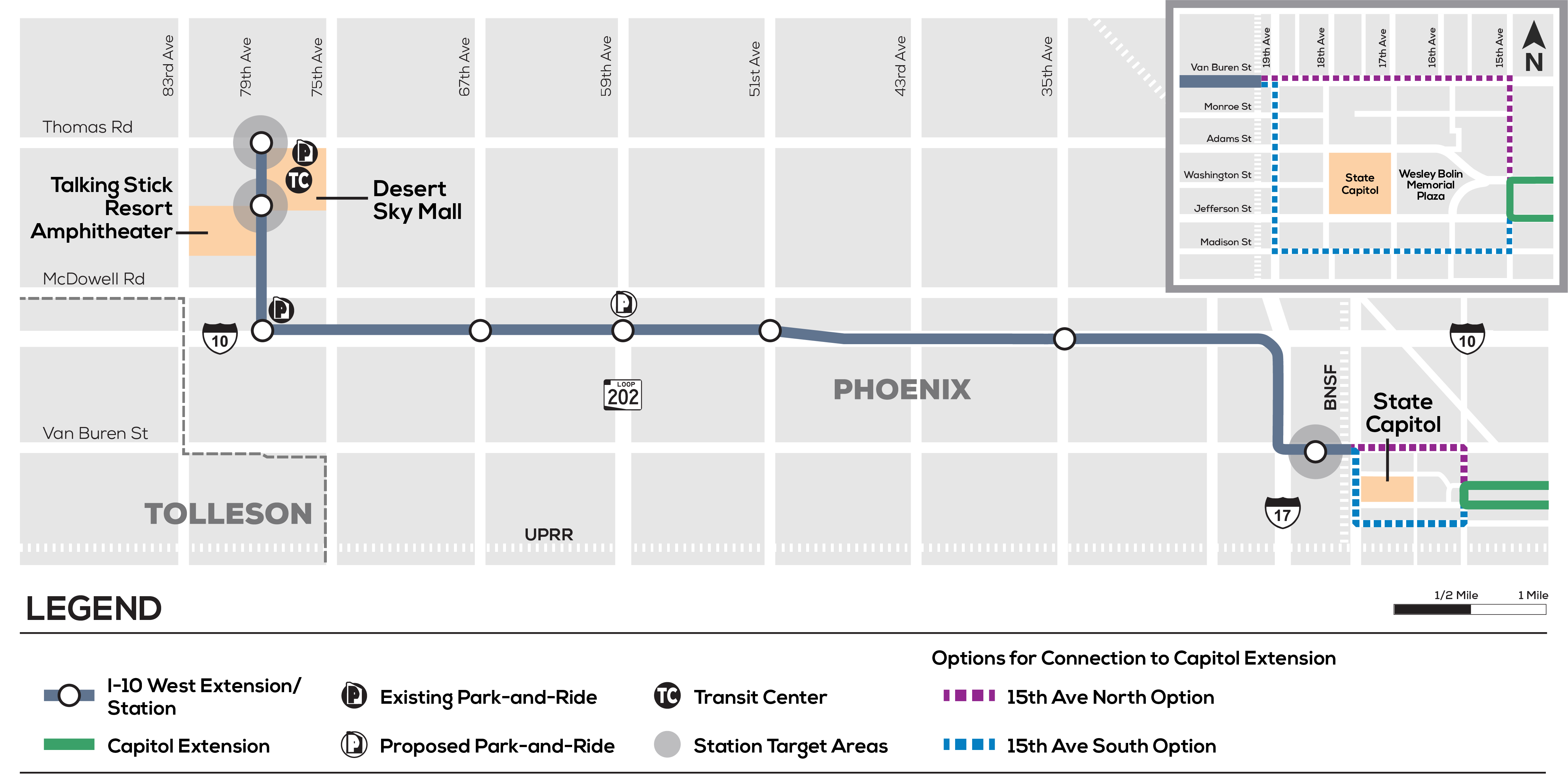
I-10 West Extension
The Interstate 10 West Extension was a proposed 10-mile light rail extension that would've traveled from the end of the Capitol Extension, then along Interstate 17 and Interstate 10, up 79th Ave to Thomas Rd, serving Talking Stick Resort Amphitheatre and Desert Sky Mall. On January 27, 2026, Phoenix City Council voted to re-evaluate high-capacity transit options for West Phoenix, essentially killing this extension.
Pictures
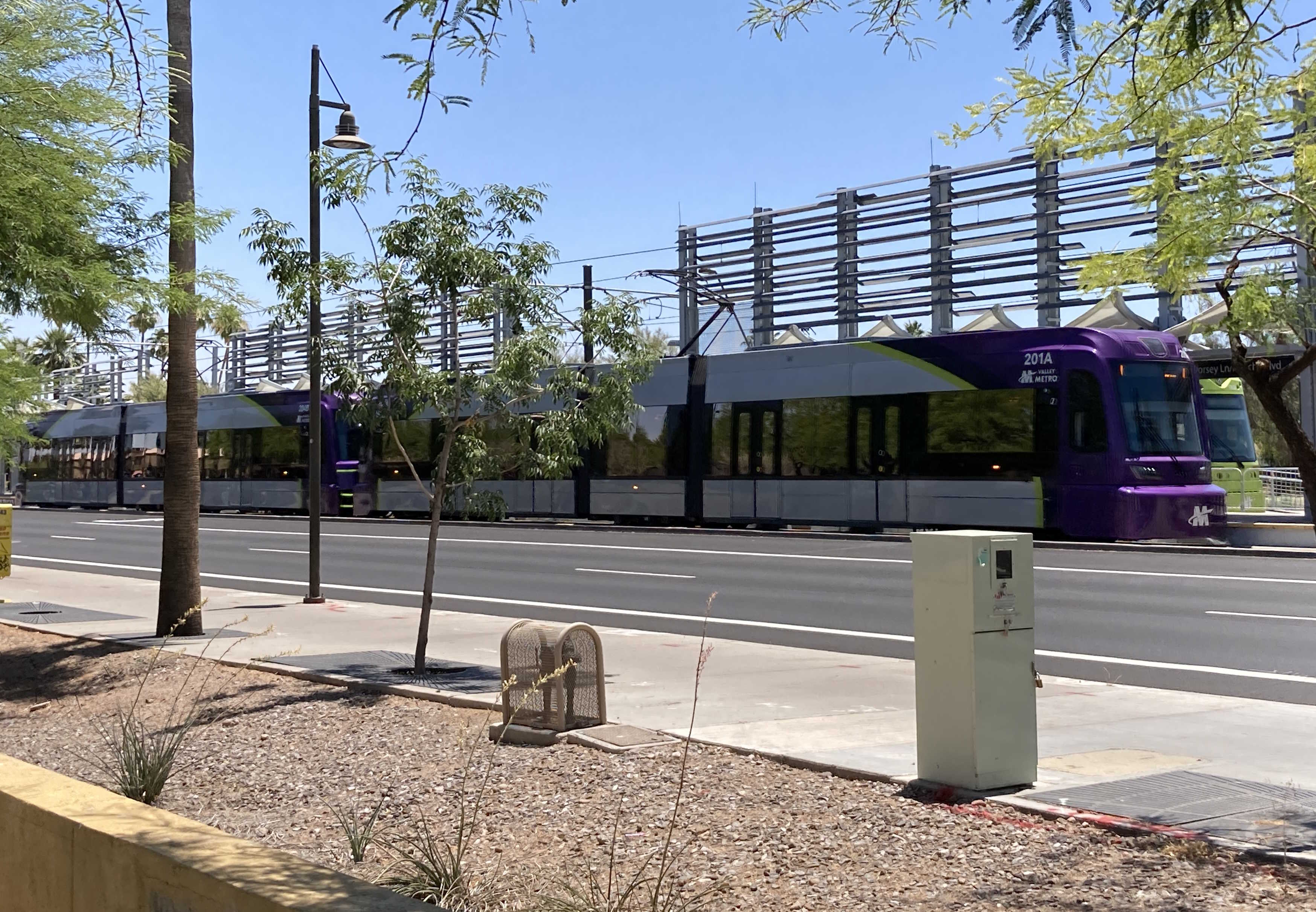
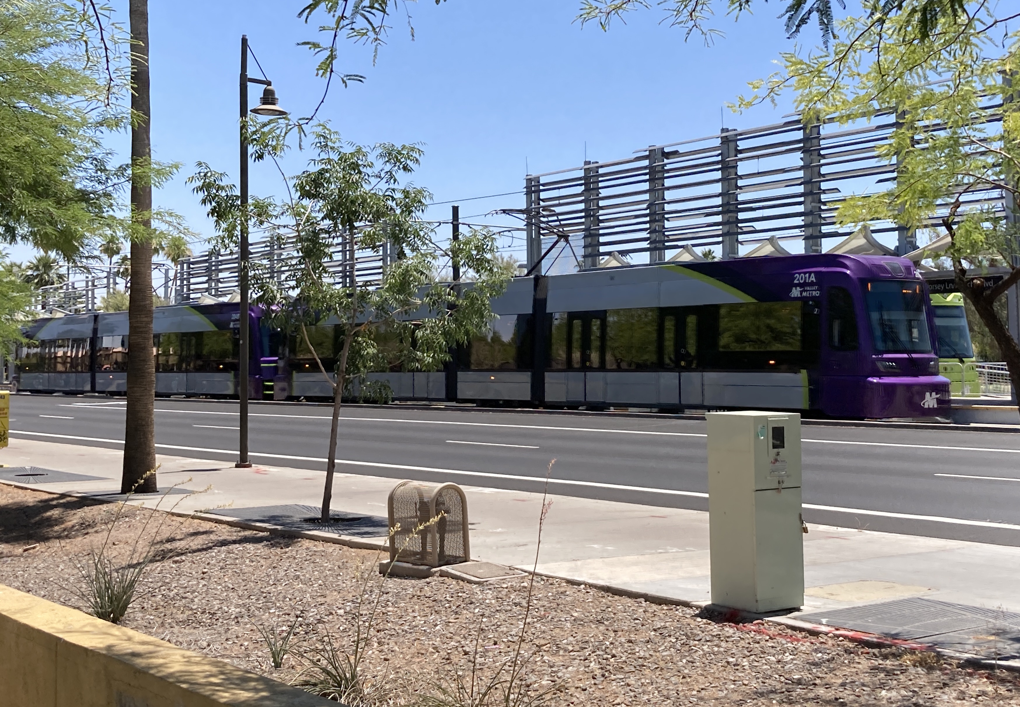
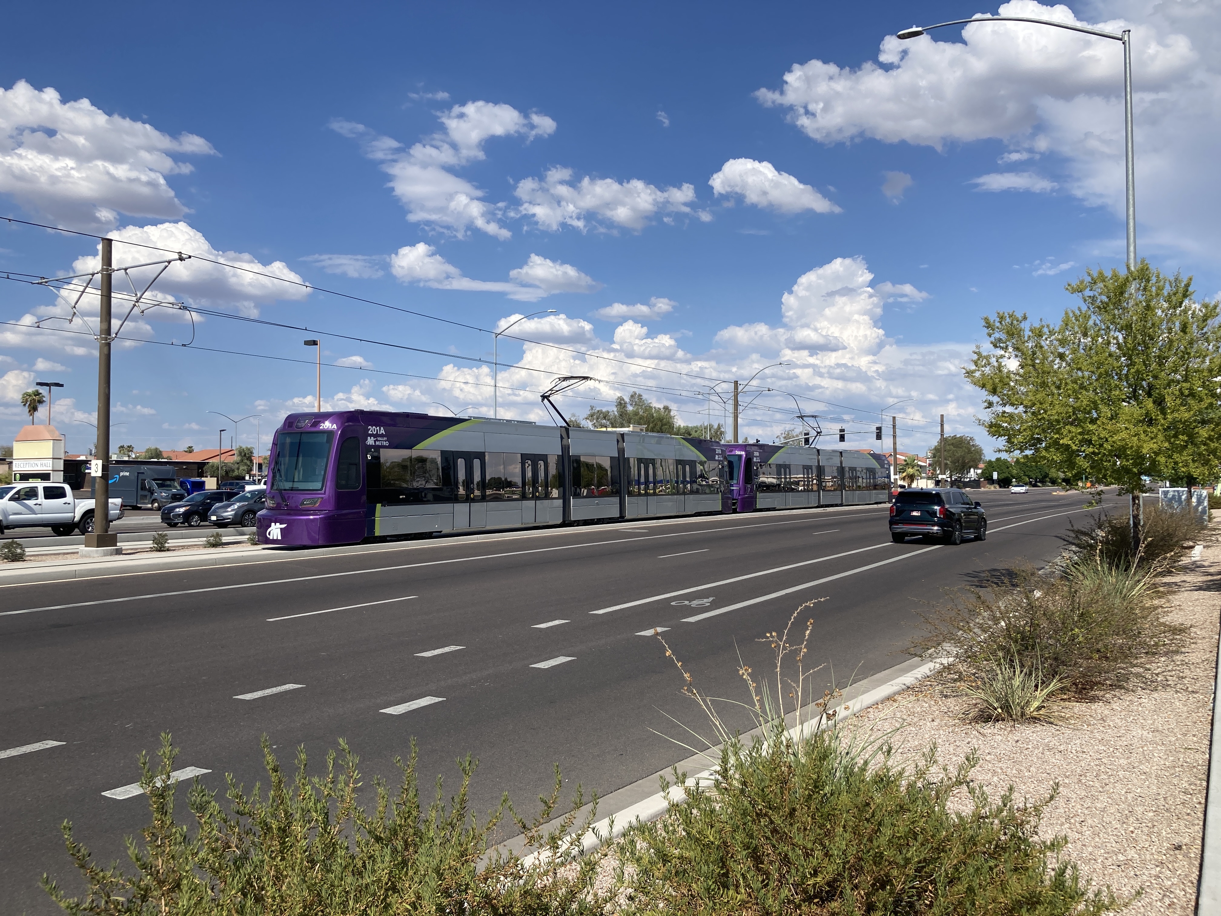
5/20/2022 - Trains 201 & 204 traveling westbound at Dorsey Ln/Apache Blvd station - Tempe
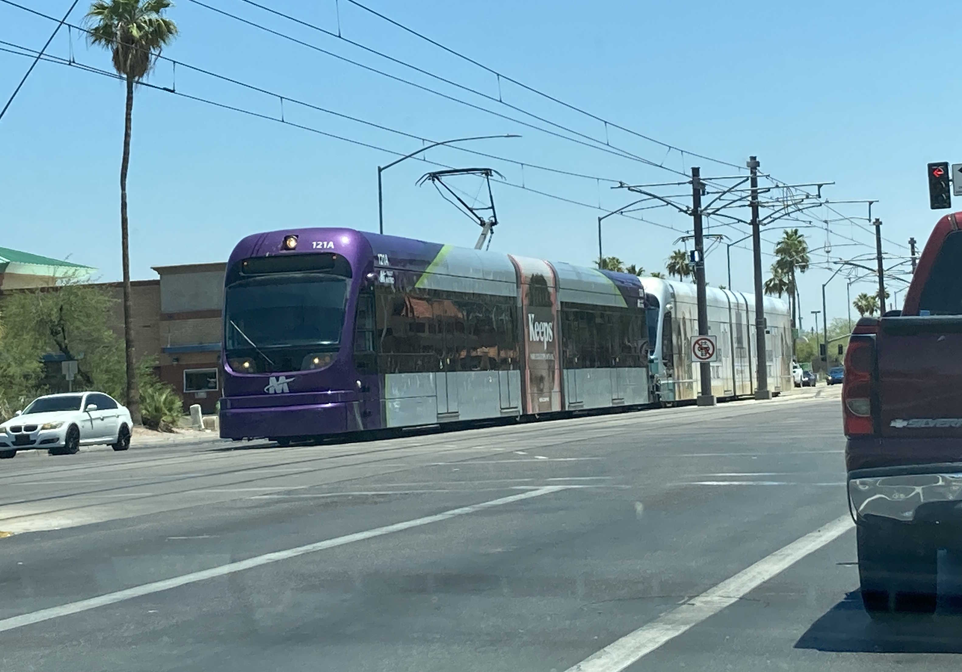
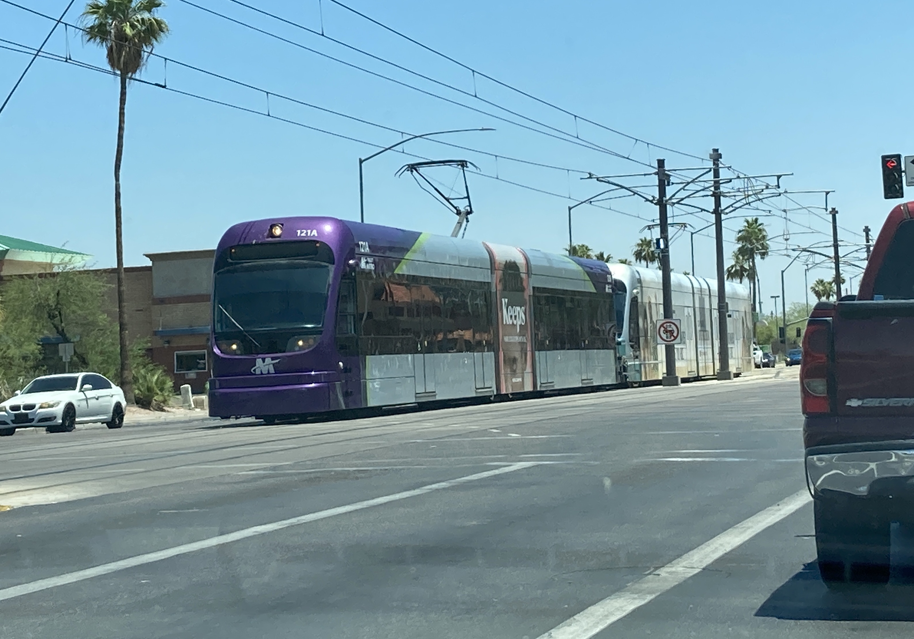
5/20/2022 - Train 121 traveling westbound at Main St & Dobson Rd - Mesa
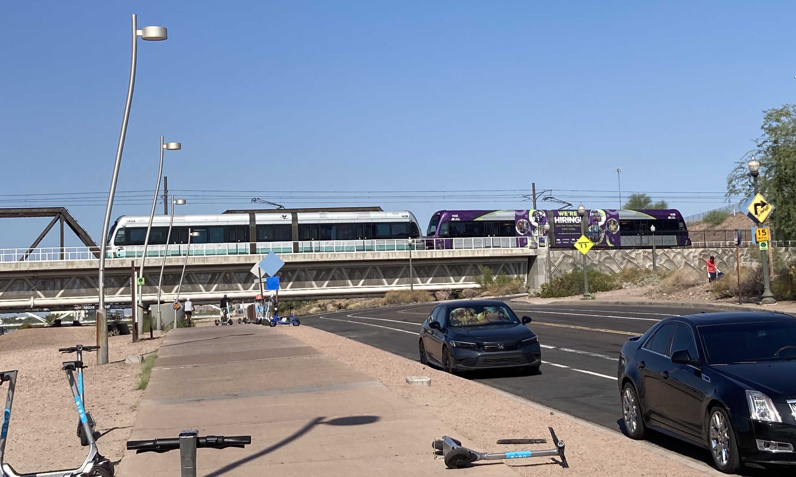
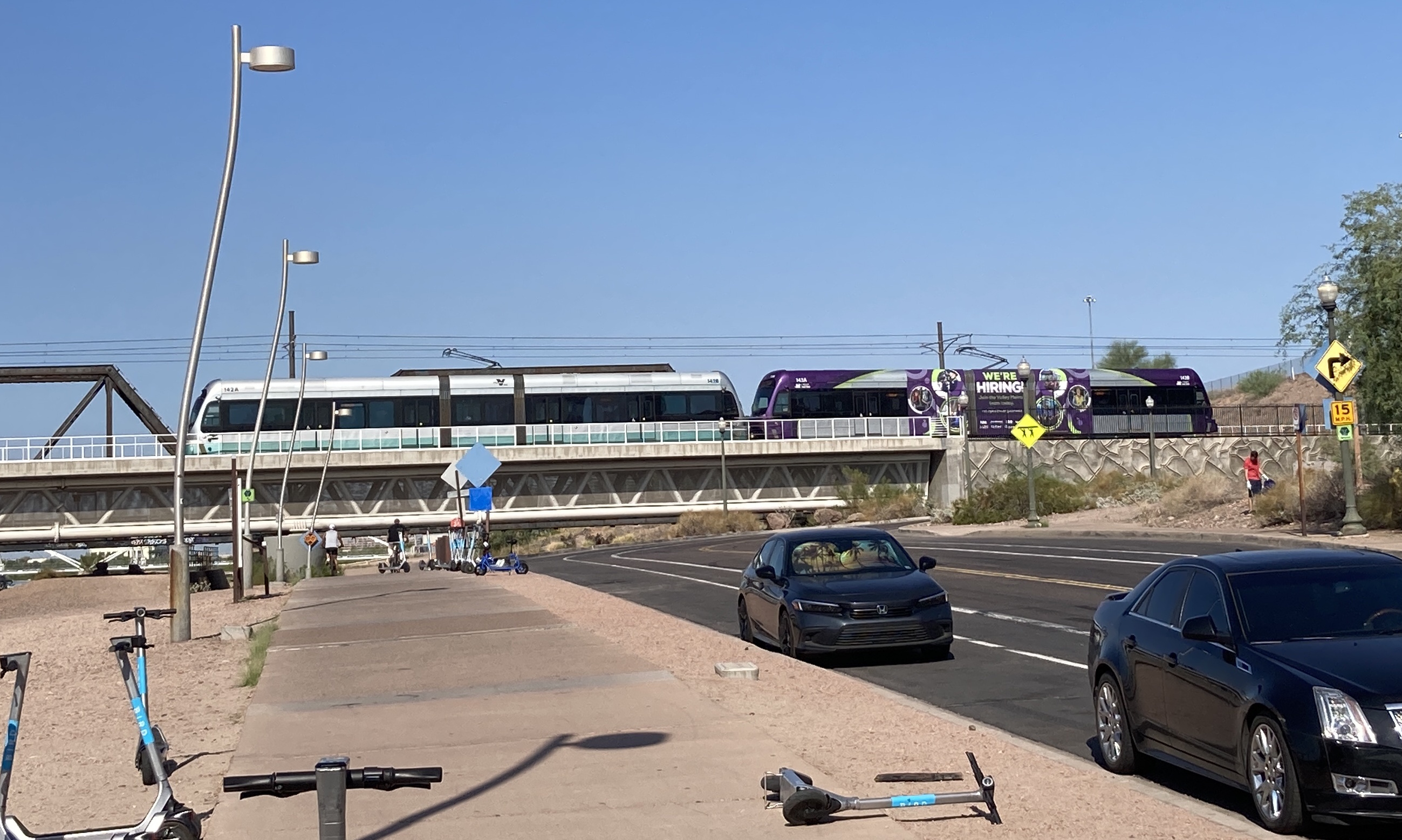
8/27/2022 - Trains 142 & 143 traveling westbound over Tempe Town Lake - Tempe
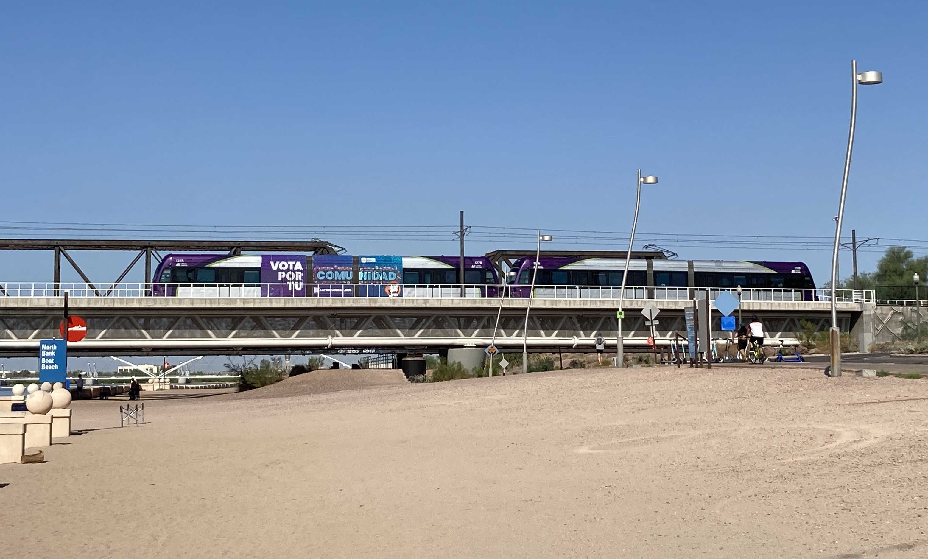
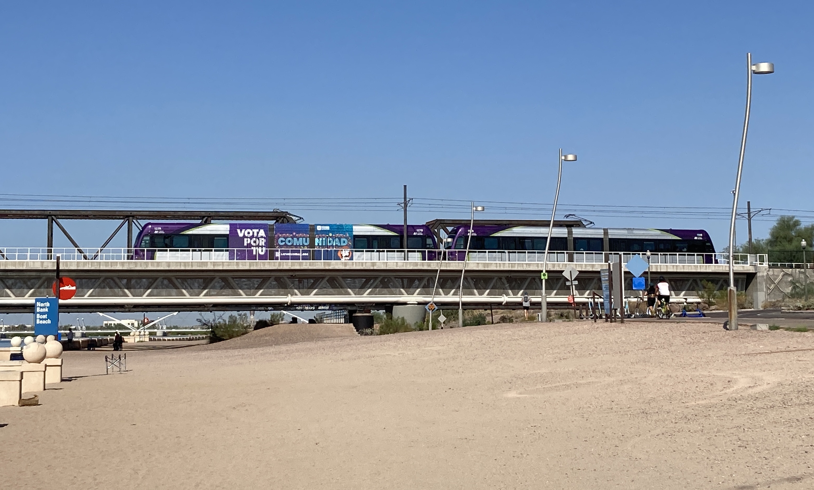
8/27/2022 - Trains 127 & 131 traveling eastbound over Tempe Town Lake - Tempe
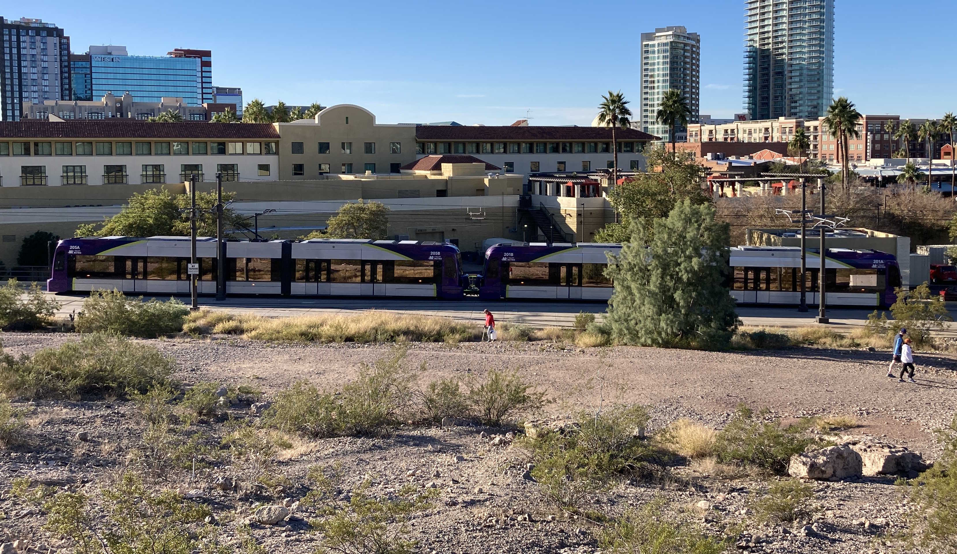
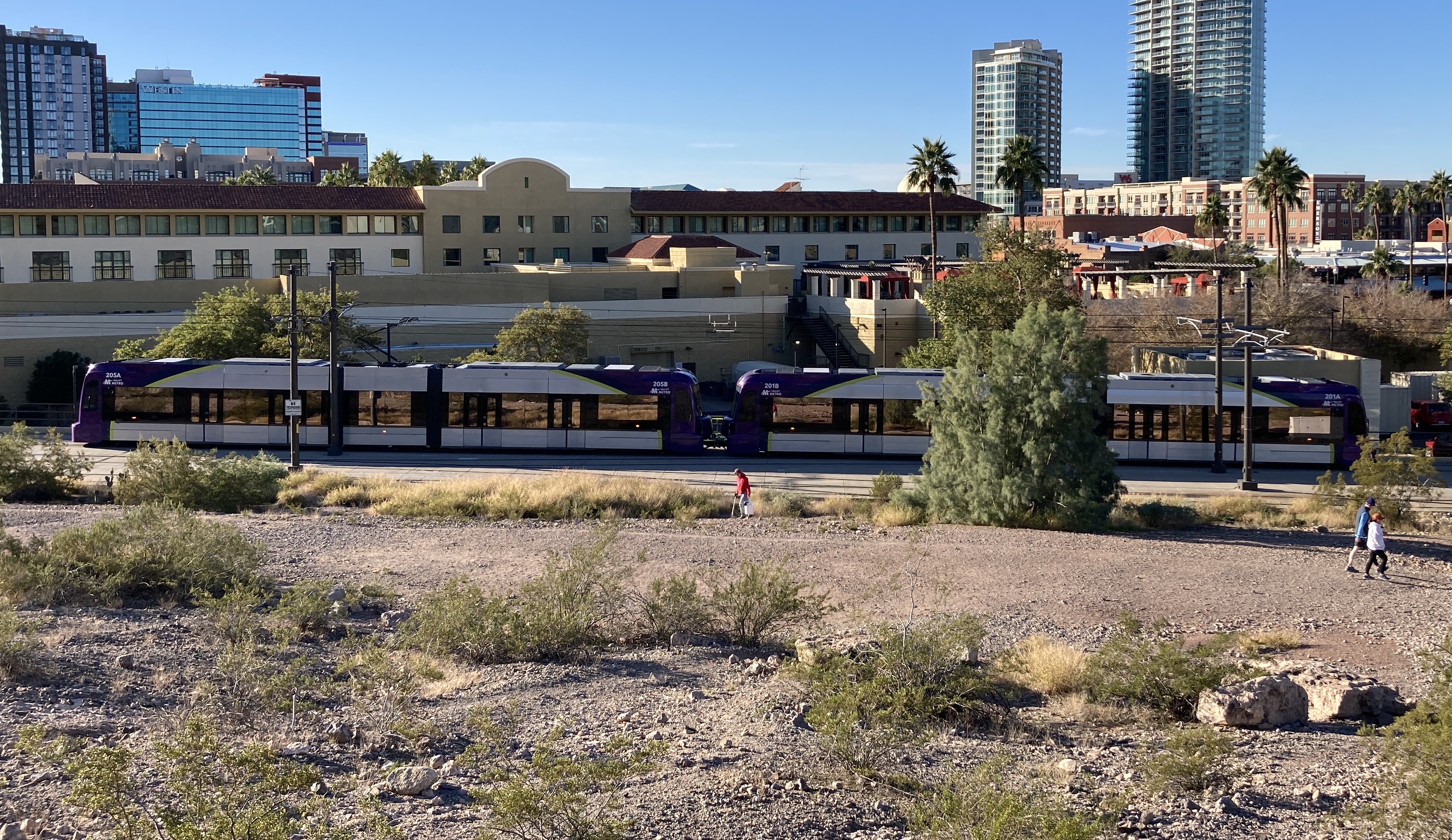
12/17/2022 - Trains 201 & 205 traveling westbound near 3rd St & Mill Ave - Tempe
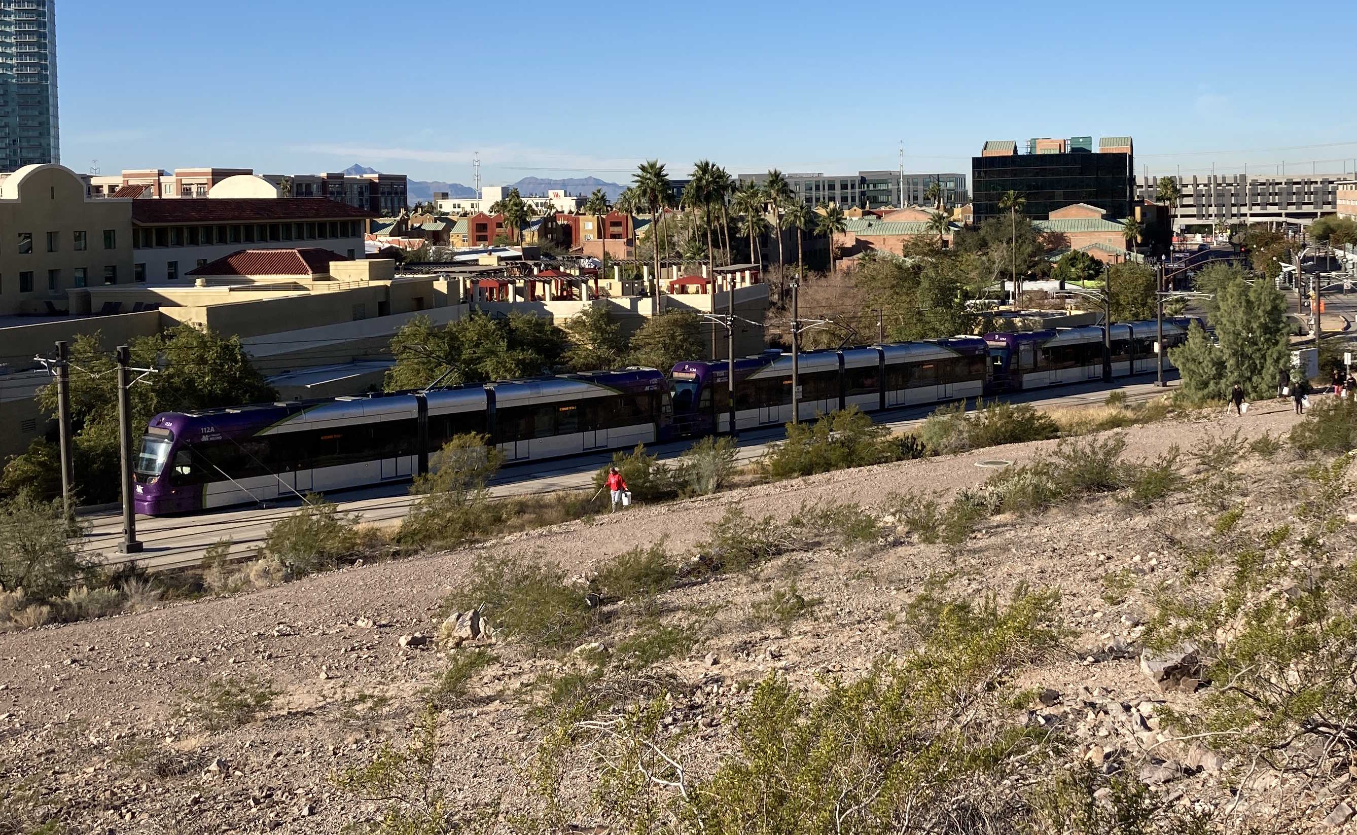
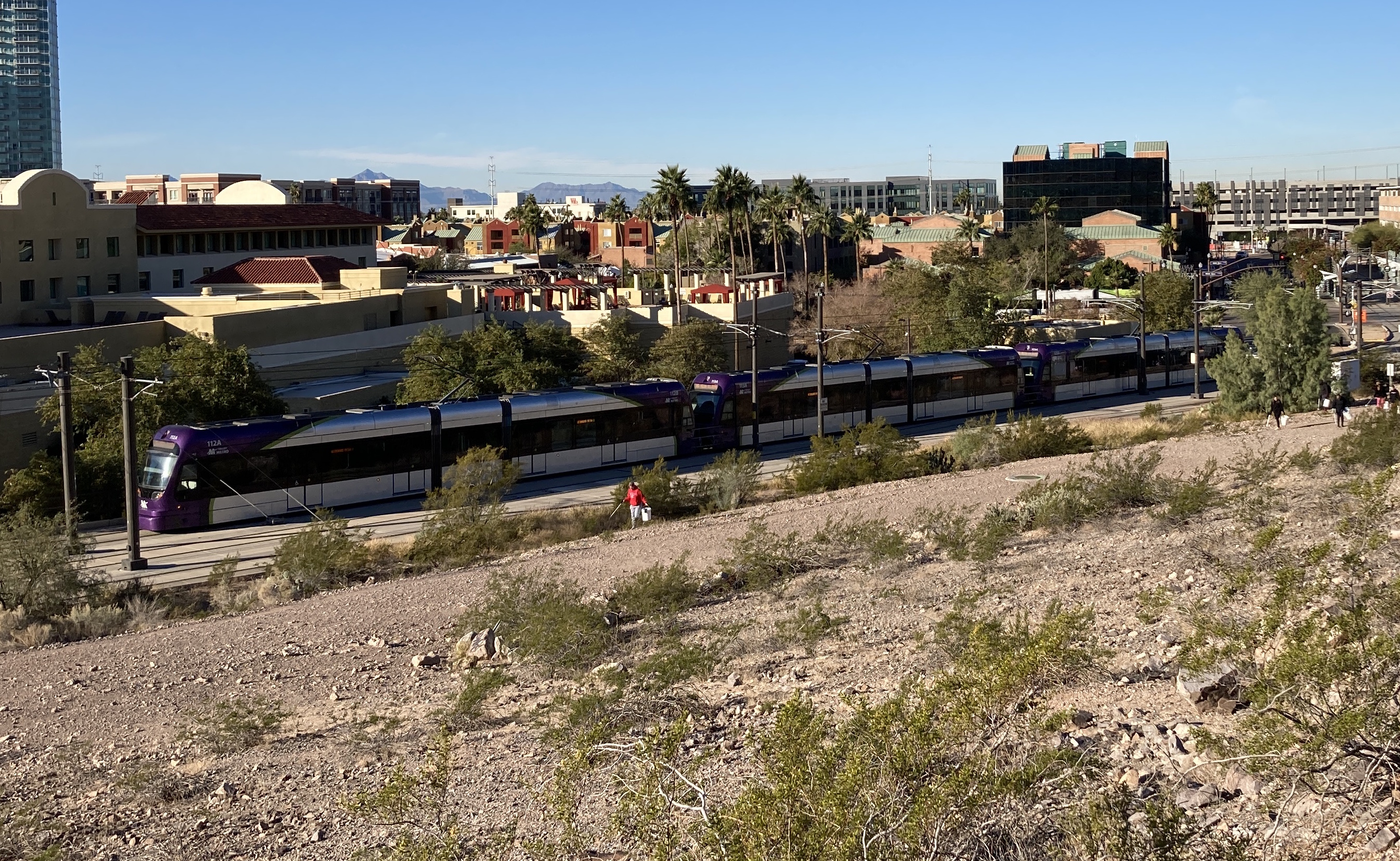
12/17/2022 - Trains 112, 113, & 125 traveling eastbound near 3rd St & Mill Ave - Tempe
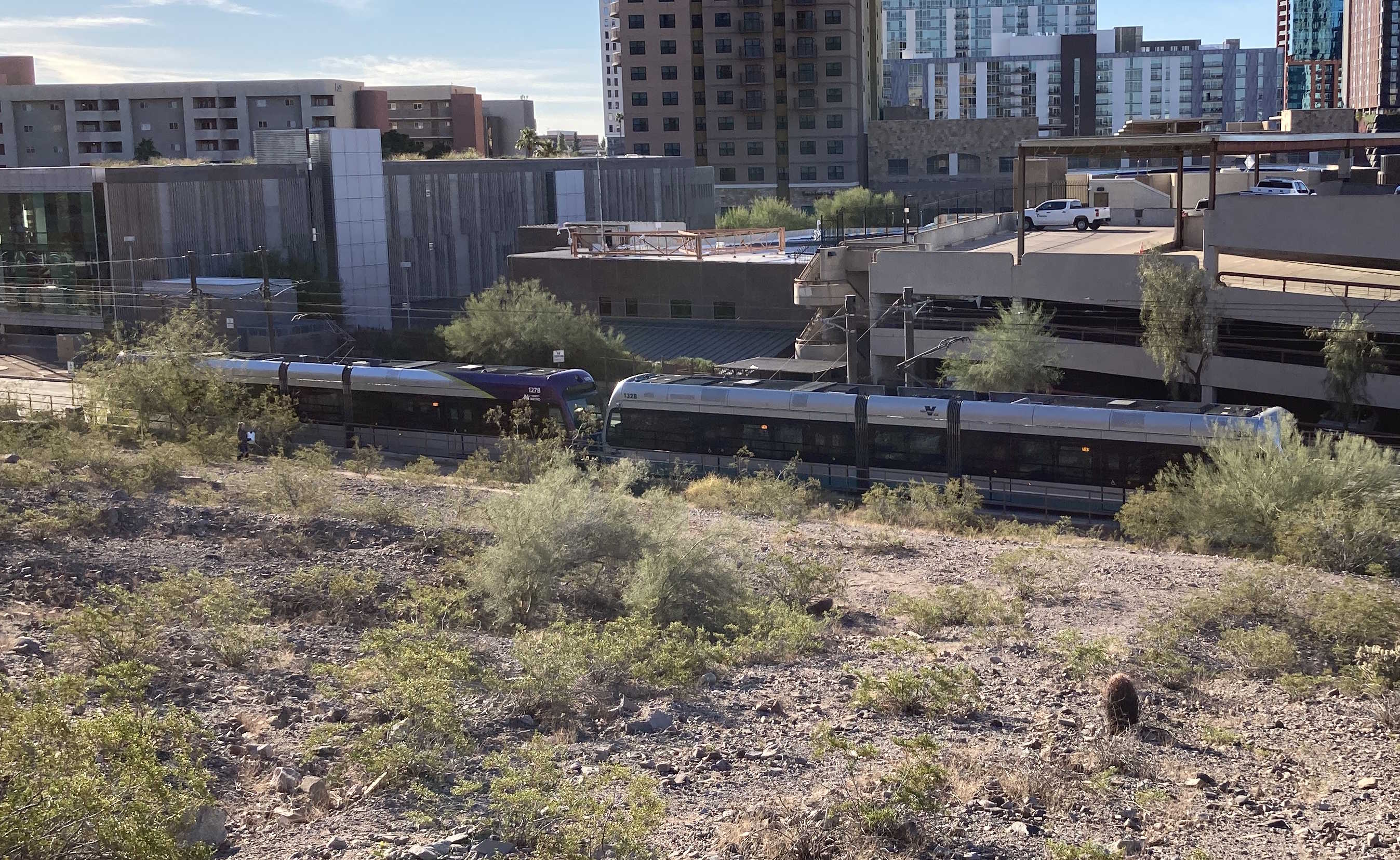
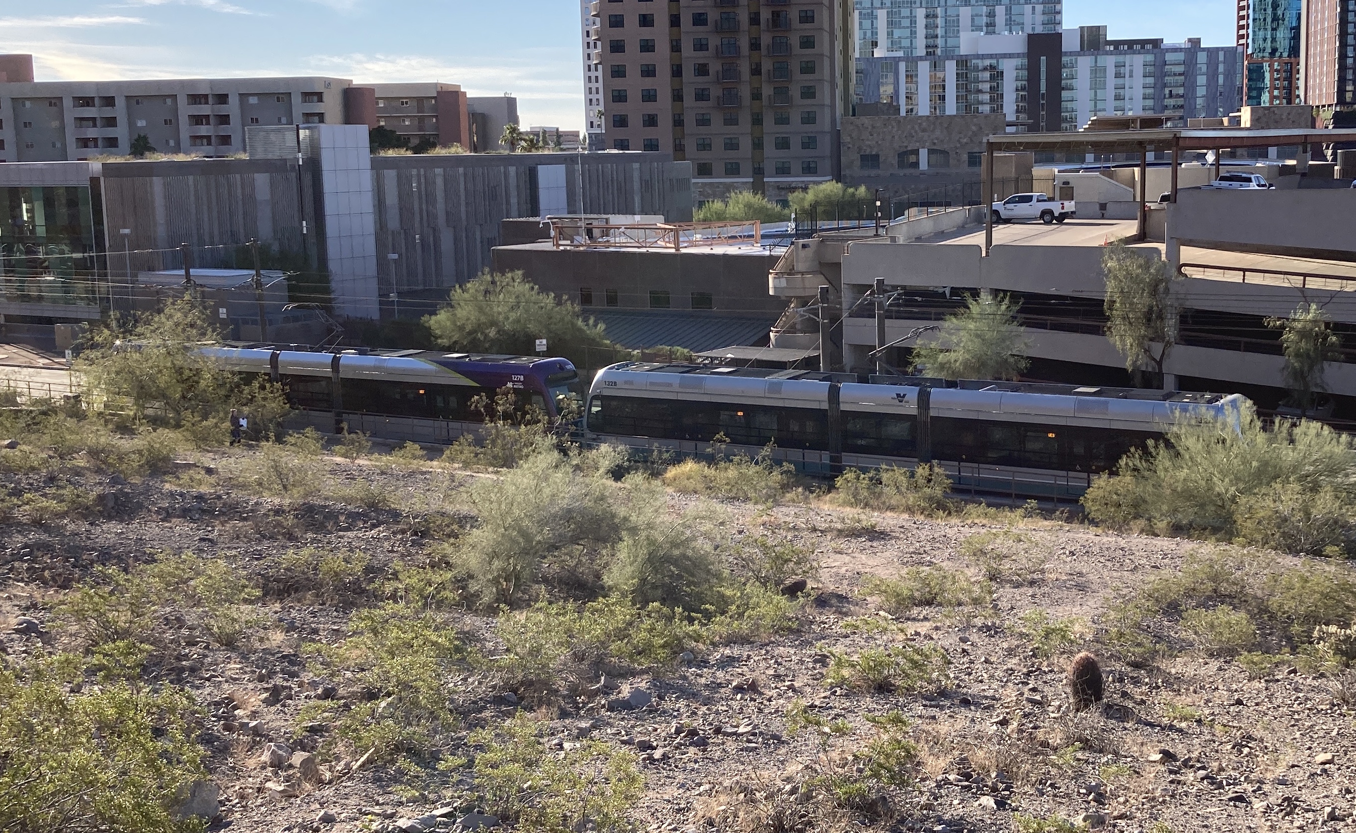
12/17/2022 - Trains 127 & 132 traveling westbound near Veterans Way/College Ave station - Tempe
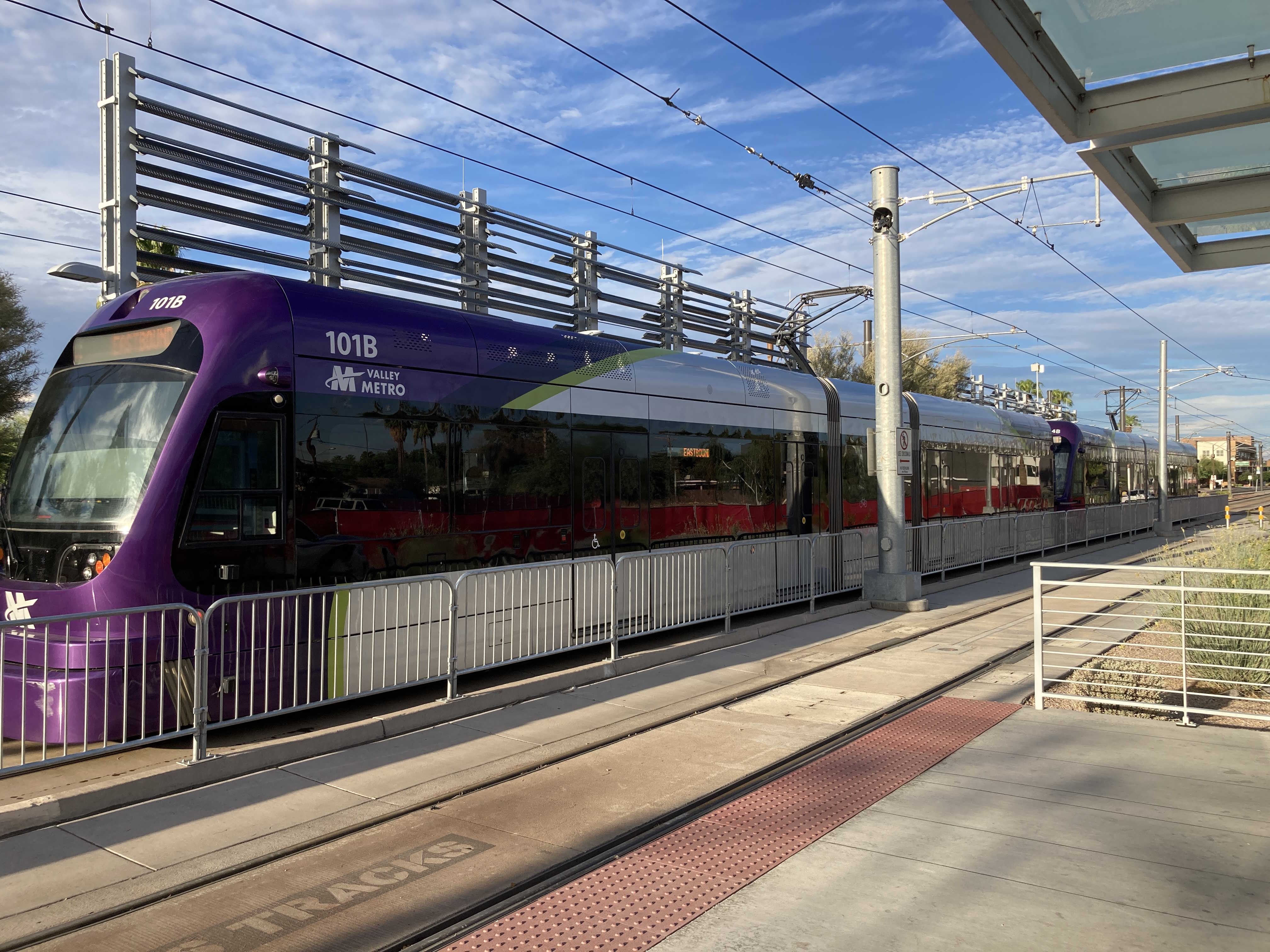
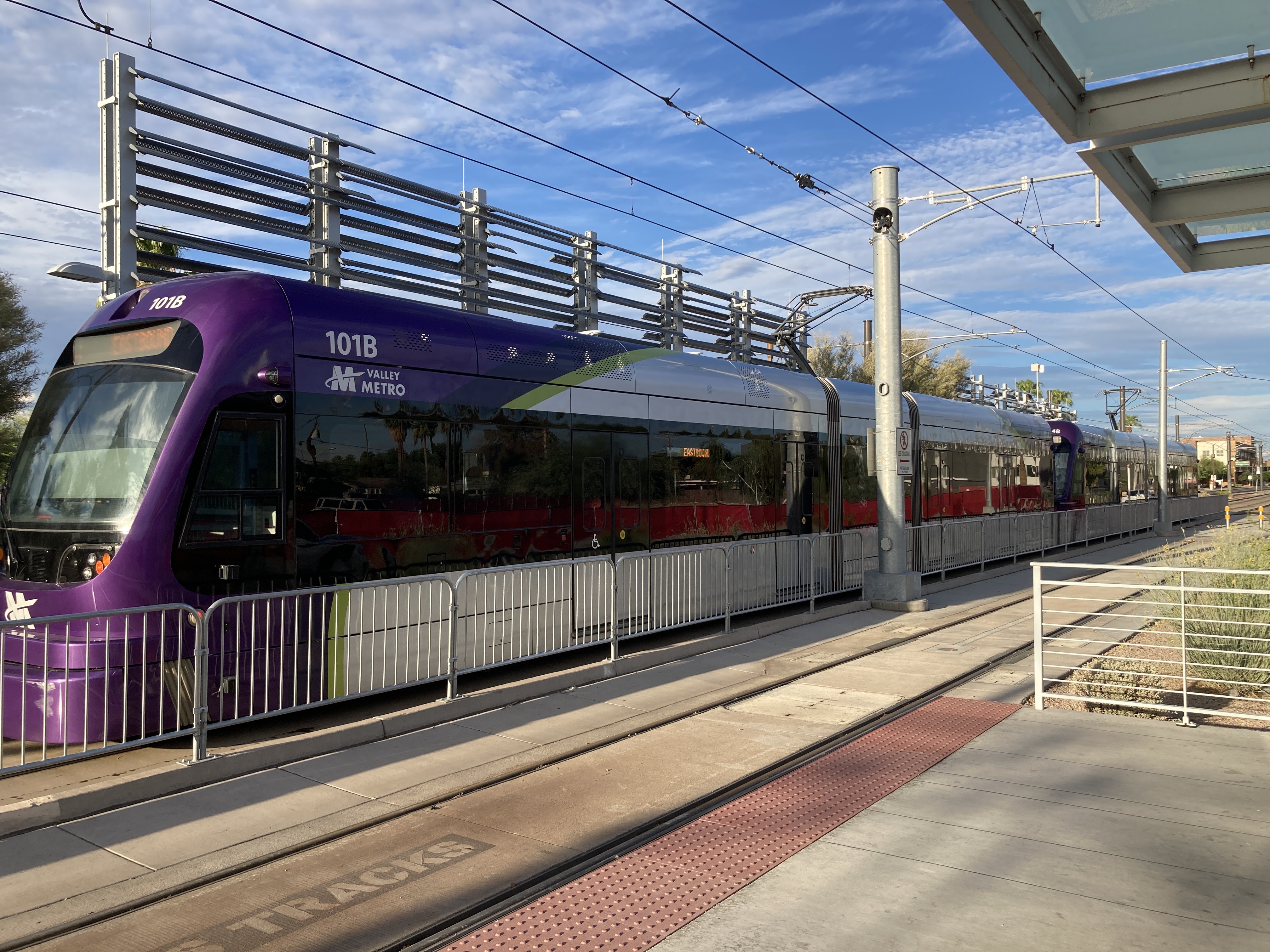
8/19/2024 - Trains 101 & 104 traveling eastbound at Dorsey Ln/Apache Blvd station - Tempe
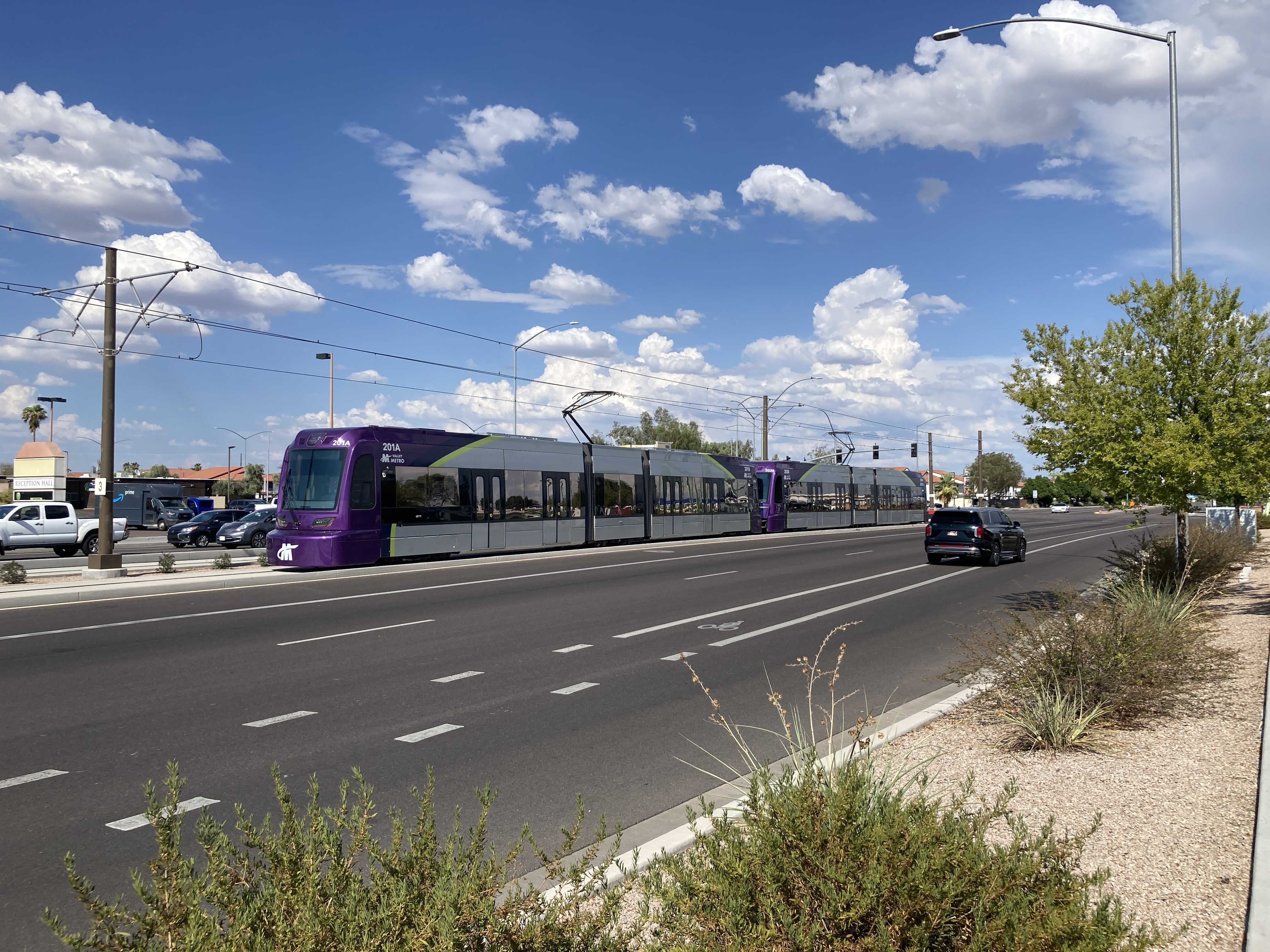
8/23/2024 - Trains 201 & 203 parked past Gilbert Rd/Main St station - Mesa
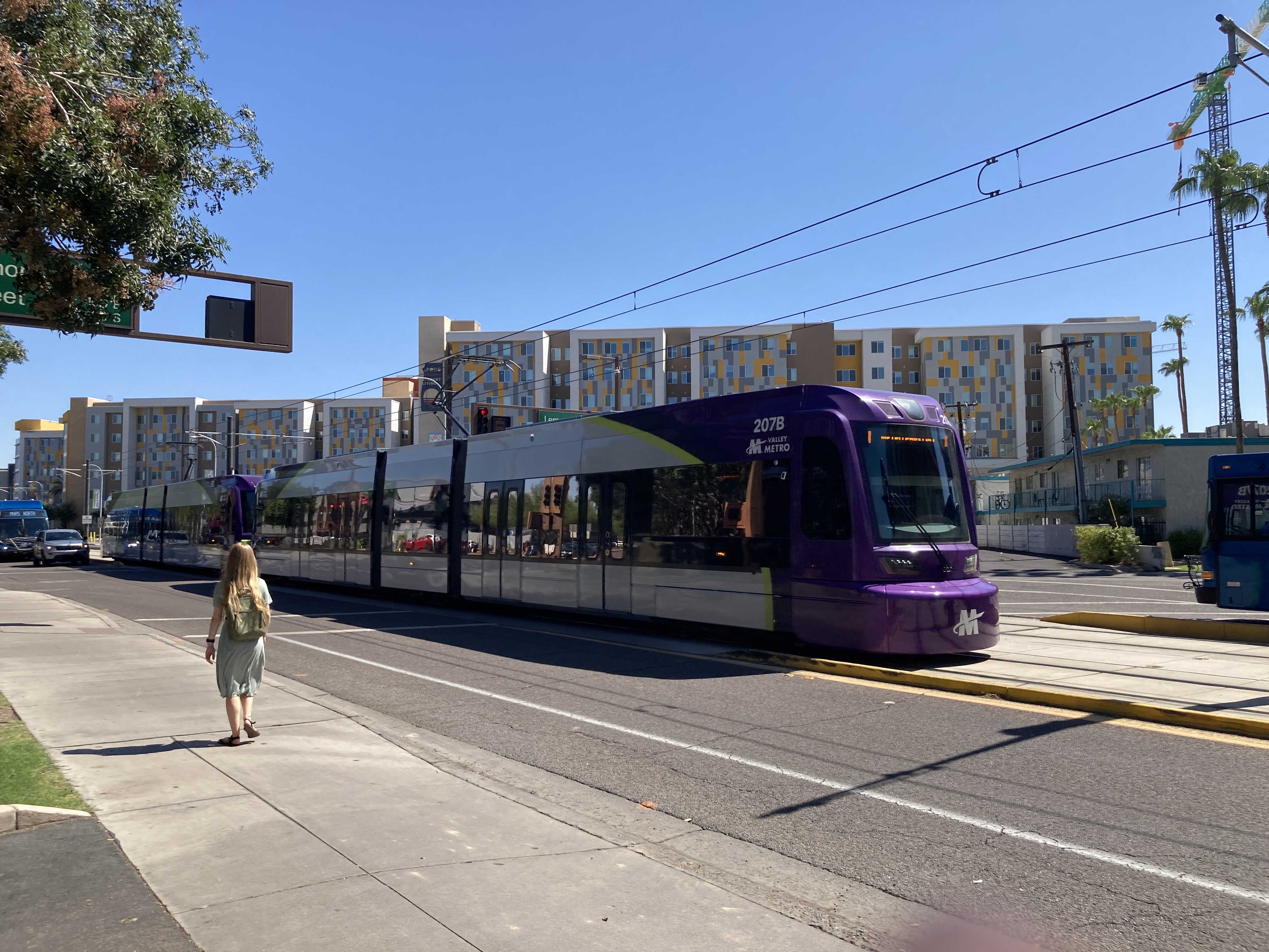
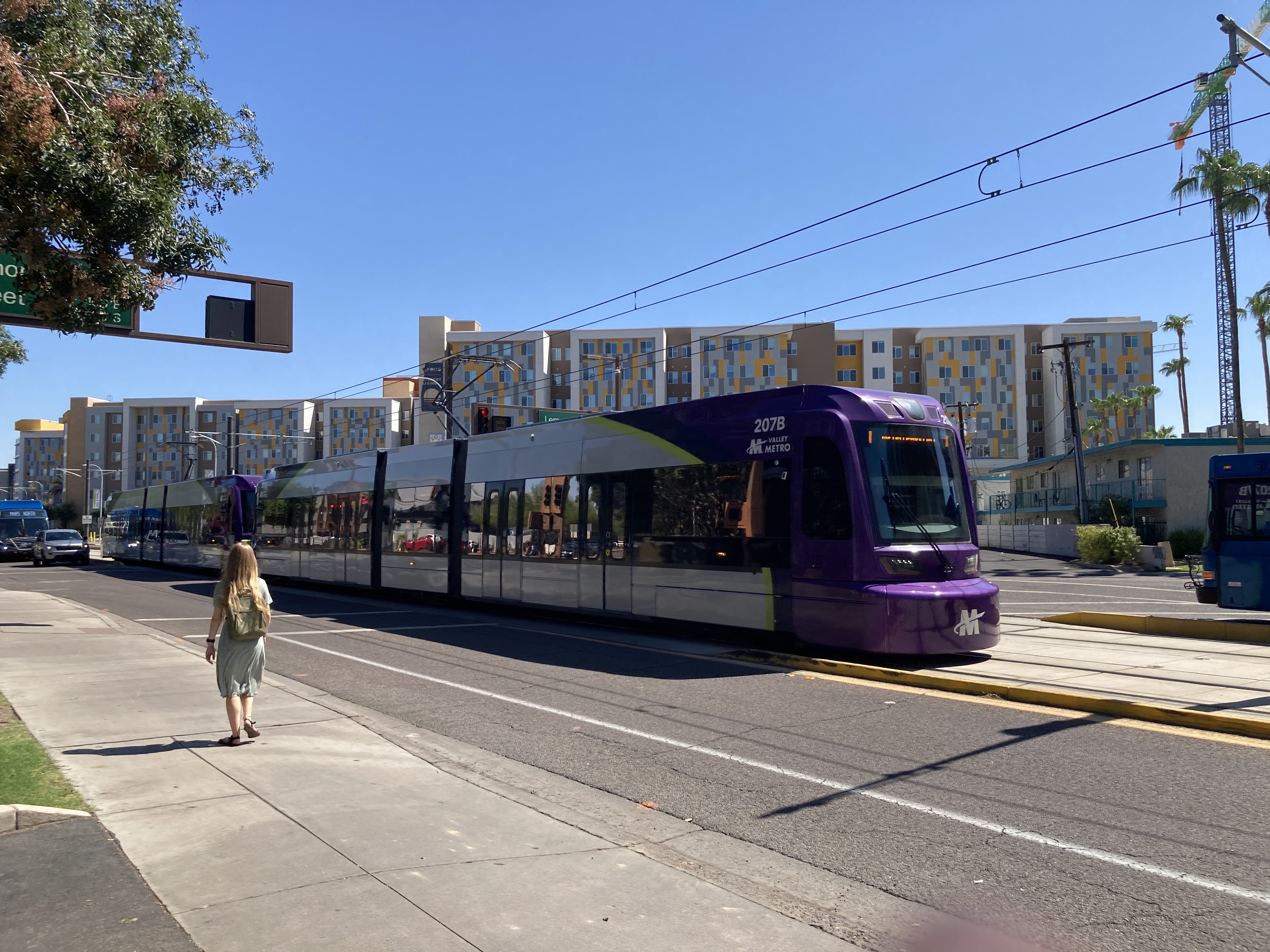
8/26/2024 - Trains 206 & 207 traveling westbound at Terrace Rd & Lemon St - Tempe
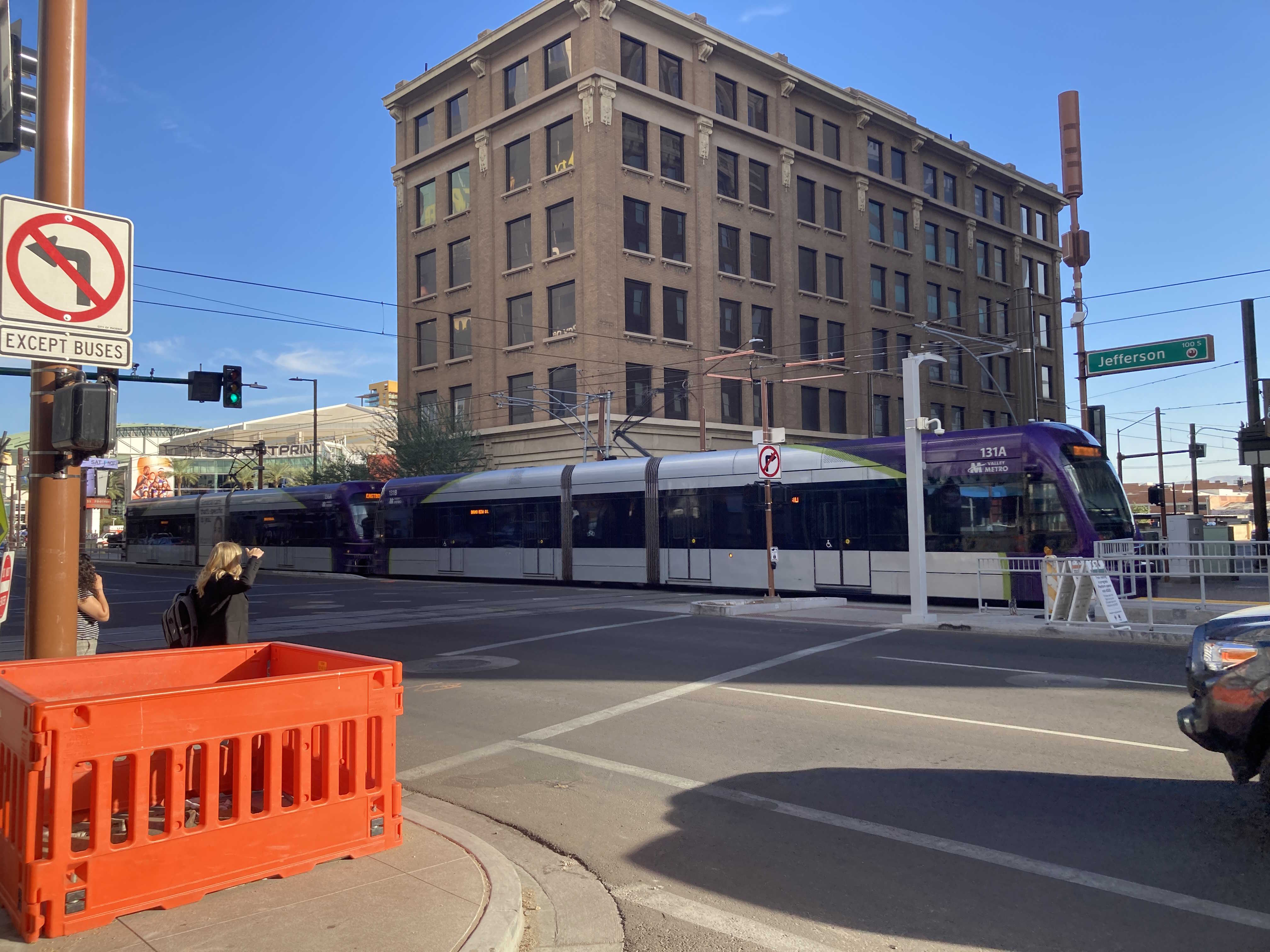
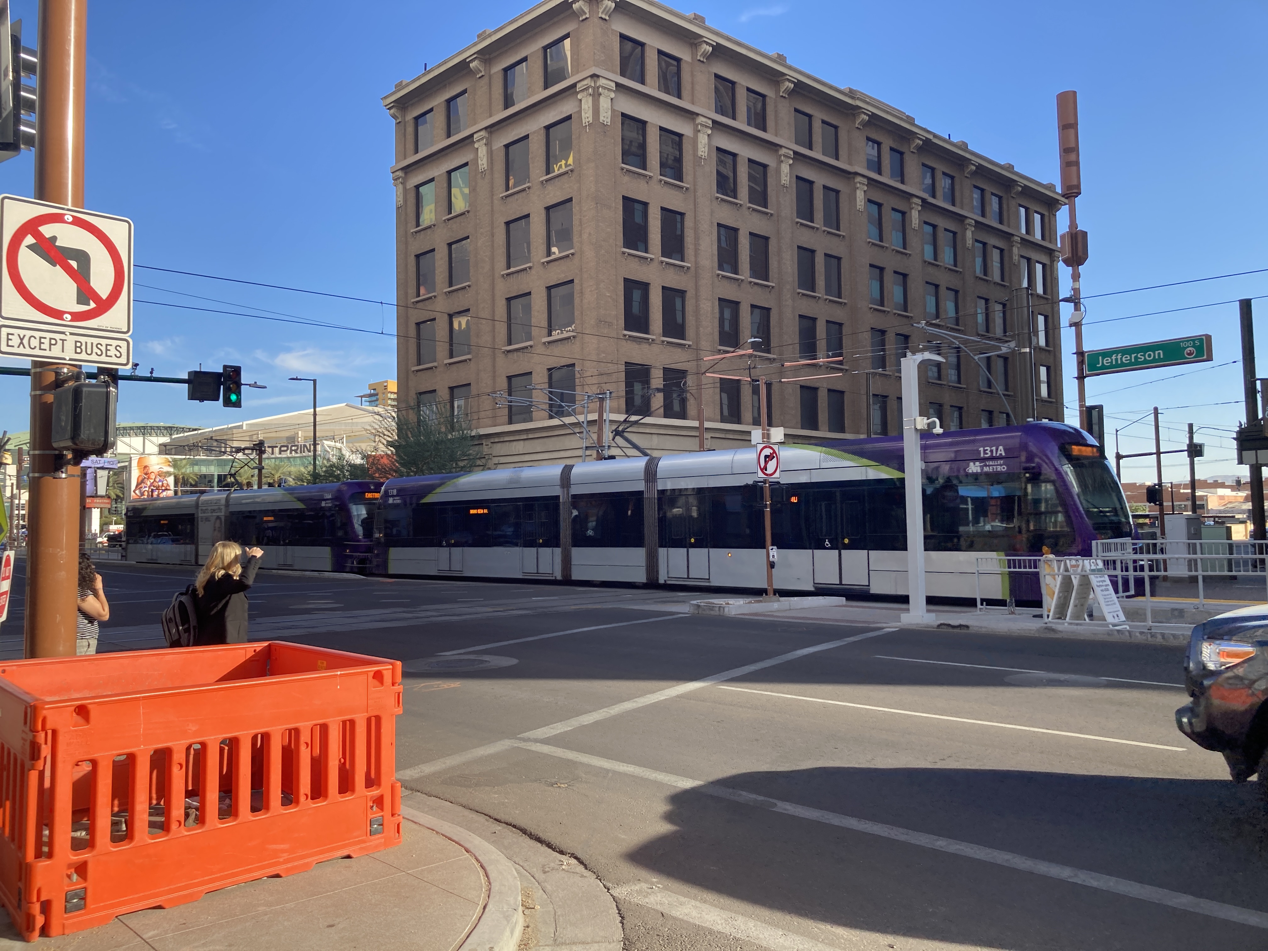
11/1/2024 - Trains 136 & 131 traveling eastbound at Jefferson St & Central Ave - Phoenix
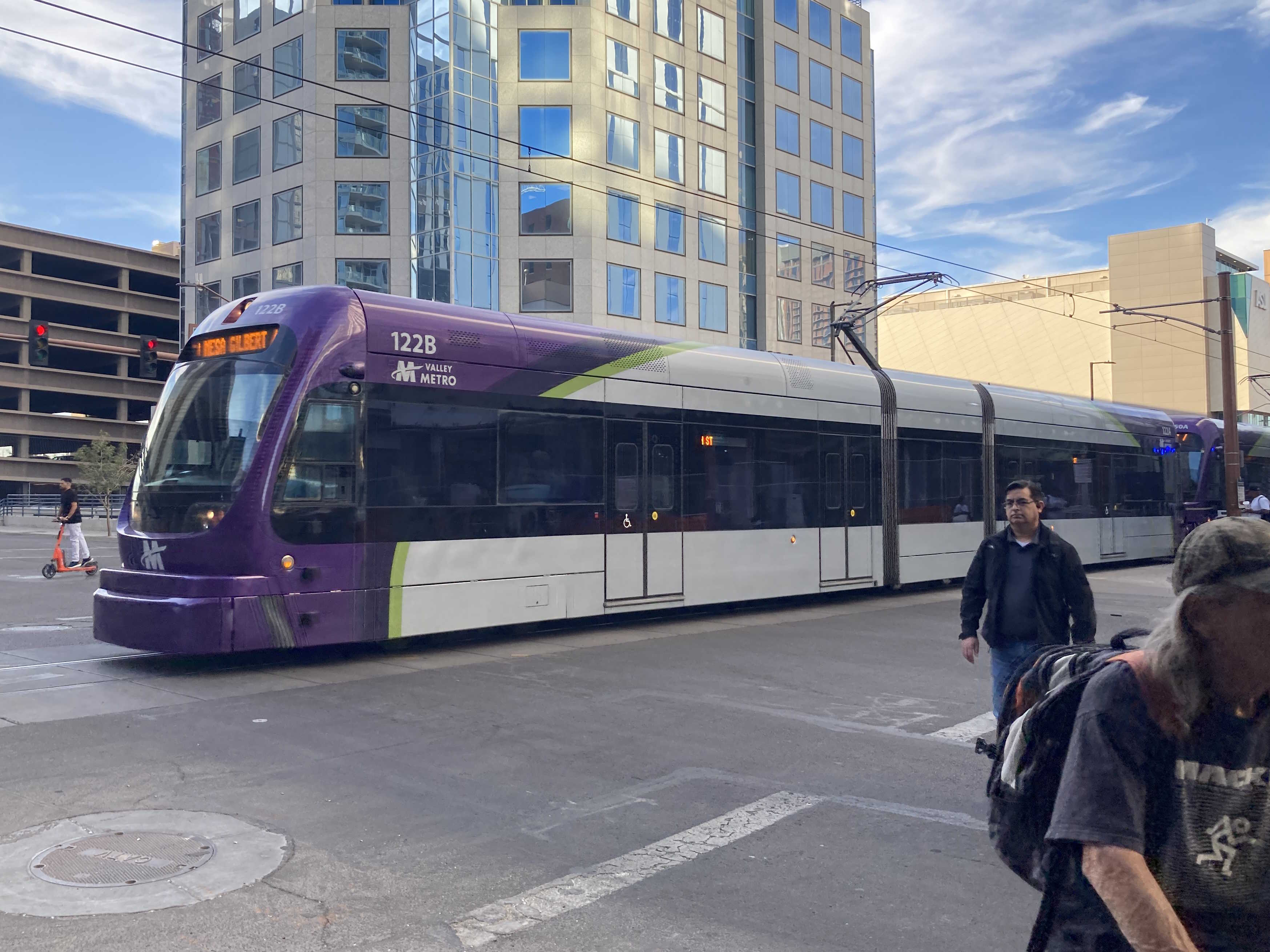
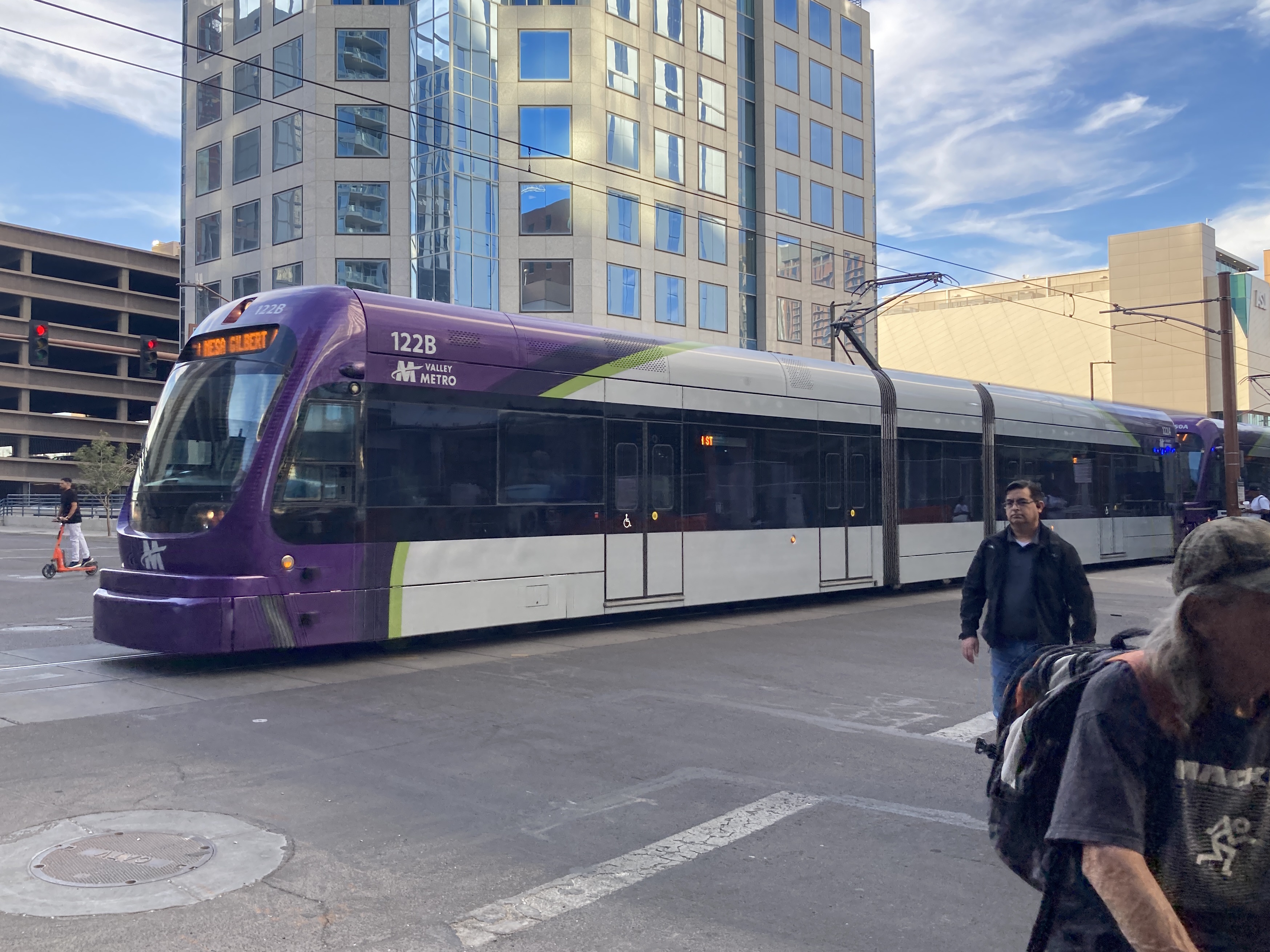
11/1/2024 - Trains 122 & 150 traveling southbound at 1st Ave & Van Buren St - Phoenix
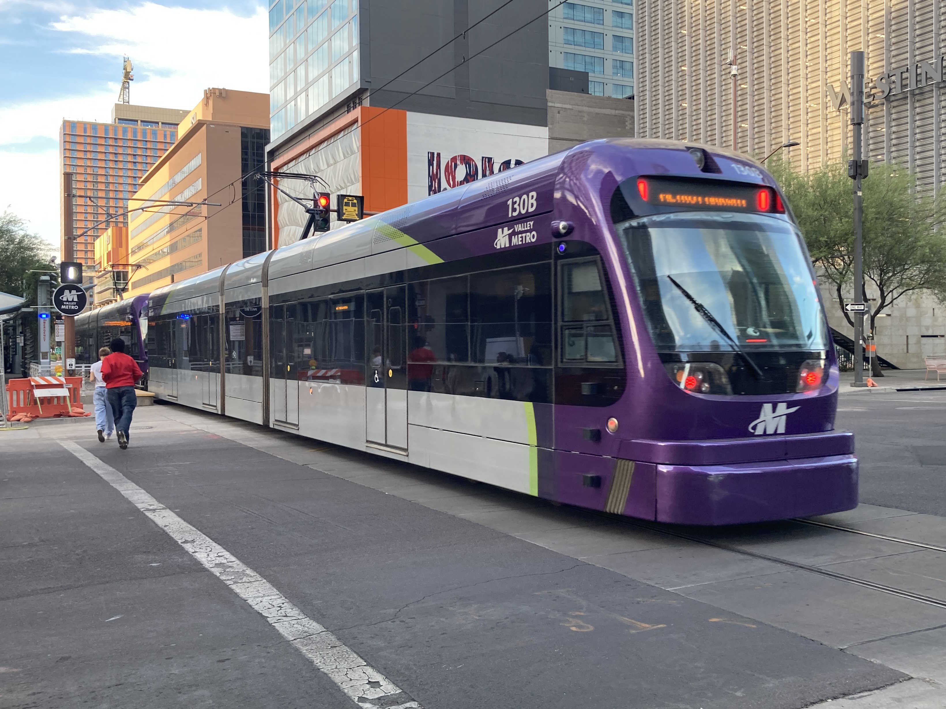
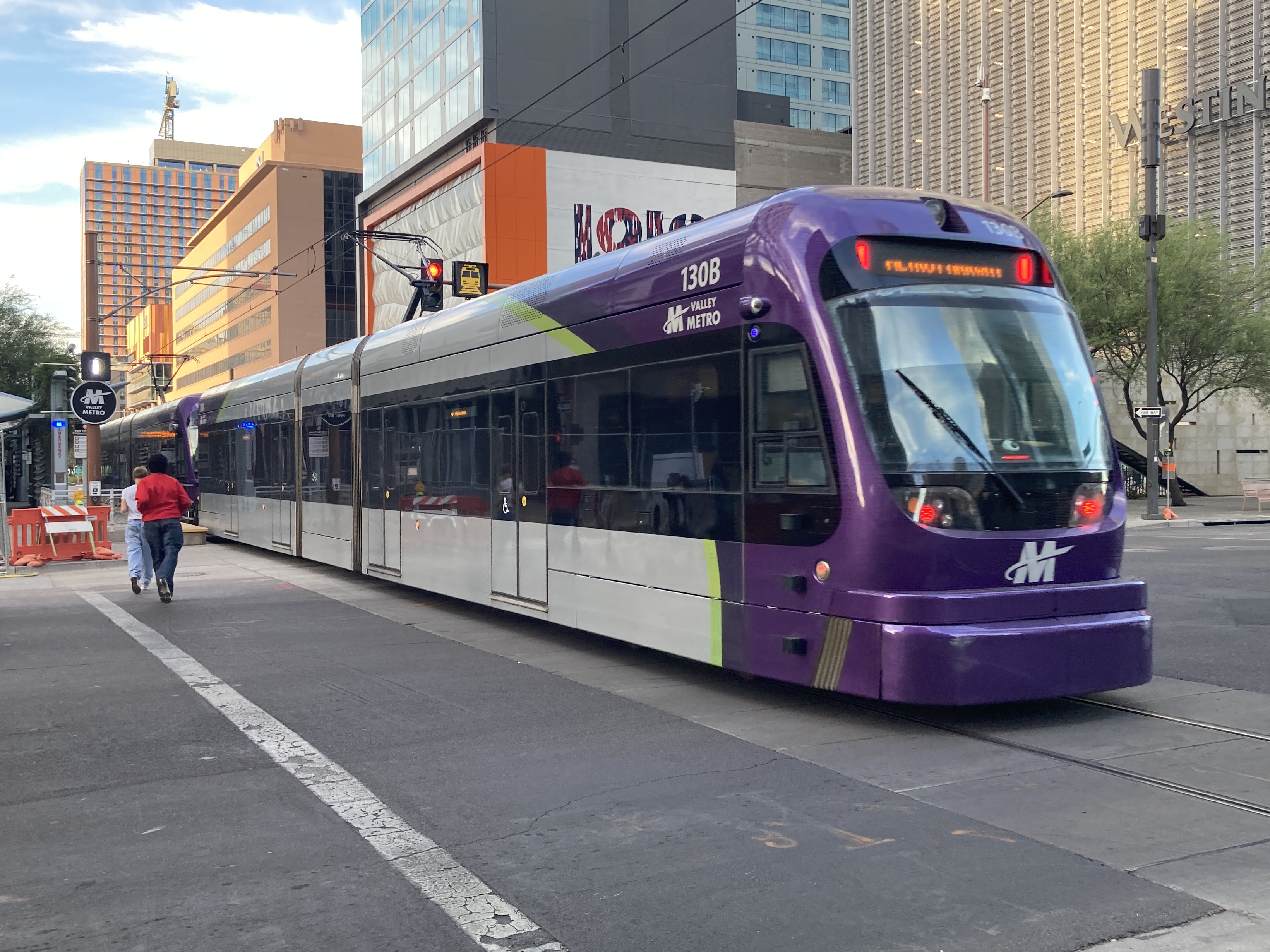
11/1/2024 - Train 130 traveling northbound at Central Ave & Van Buren St - Phoenix
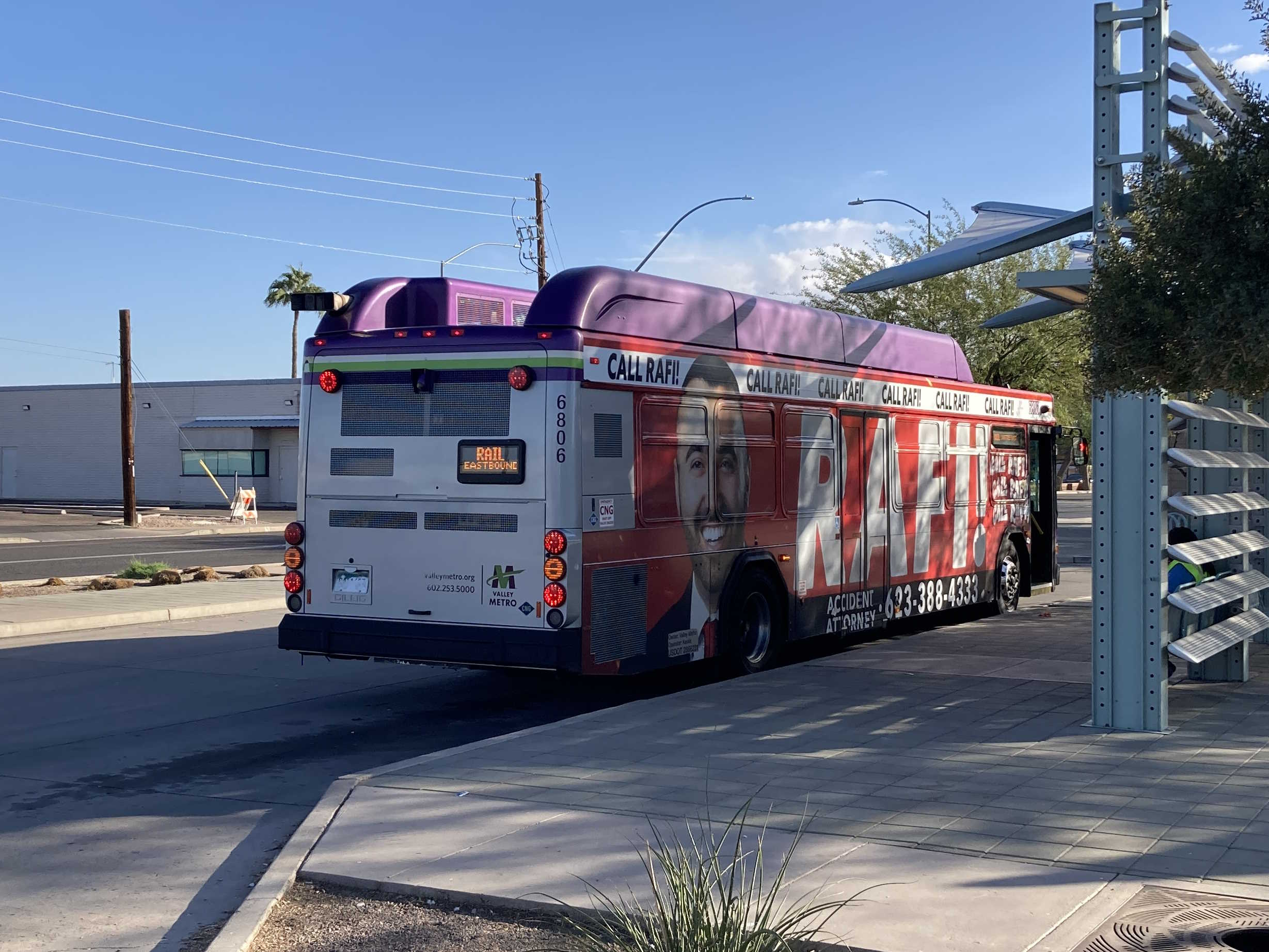
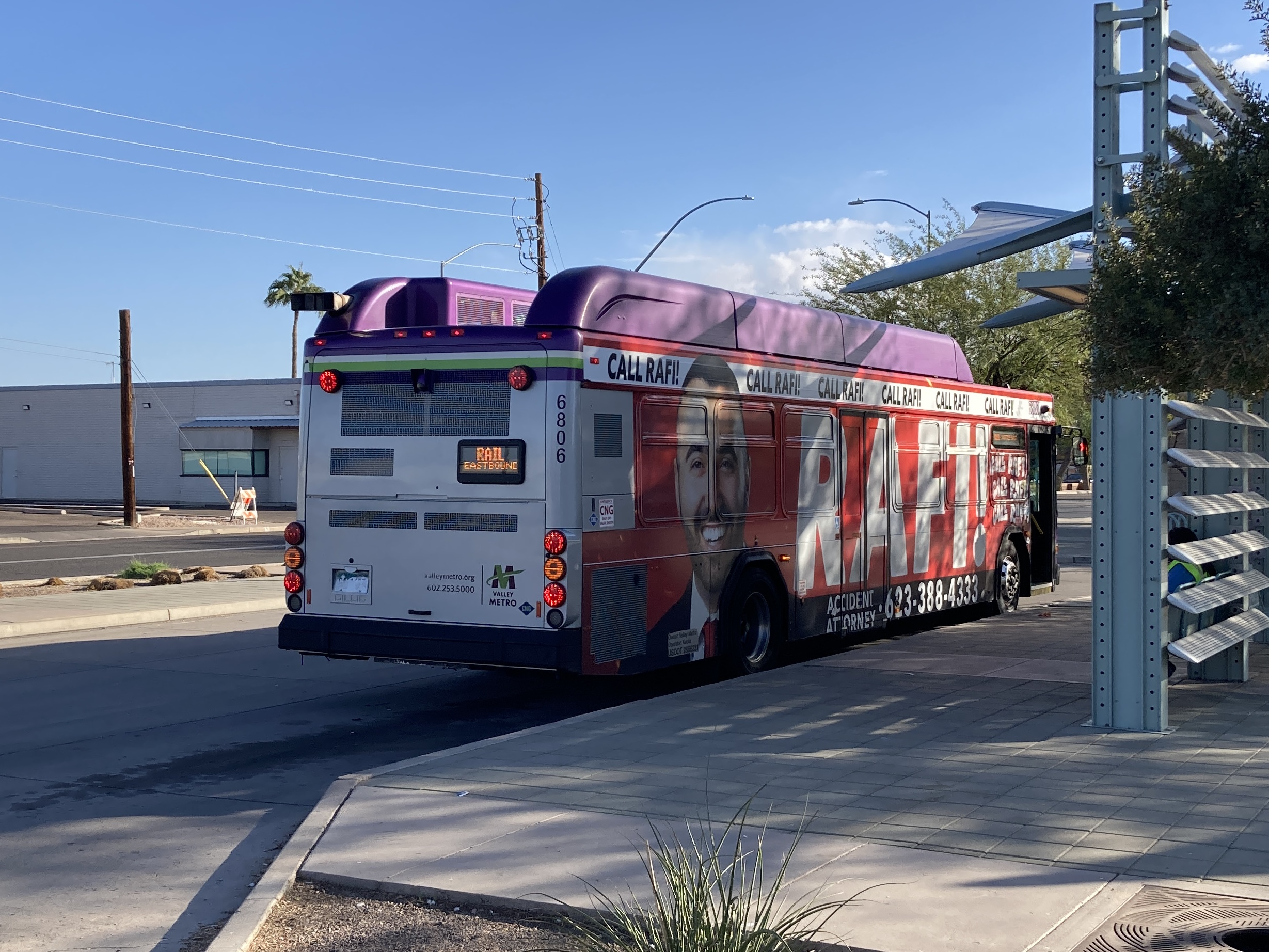
11/17/2024 - Bus 6806 acting as an eastbound light rail shuttle at Sycamore/Main St Transit Center - Mesa
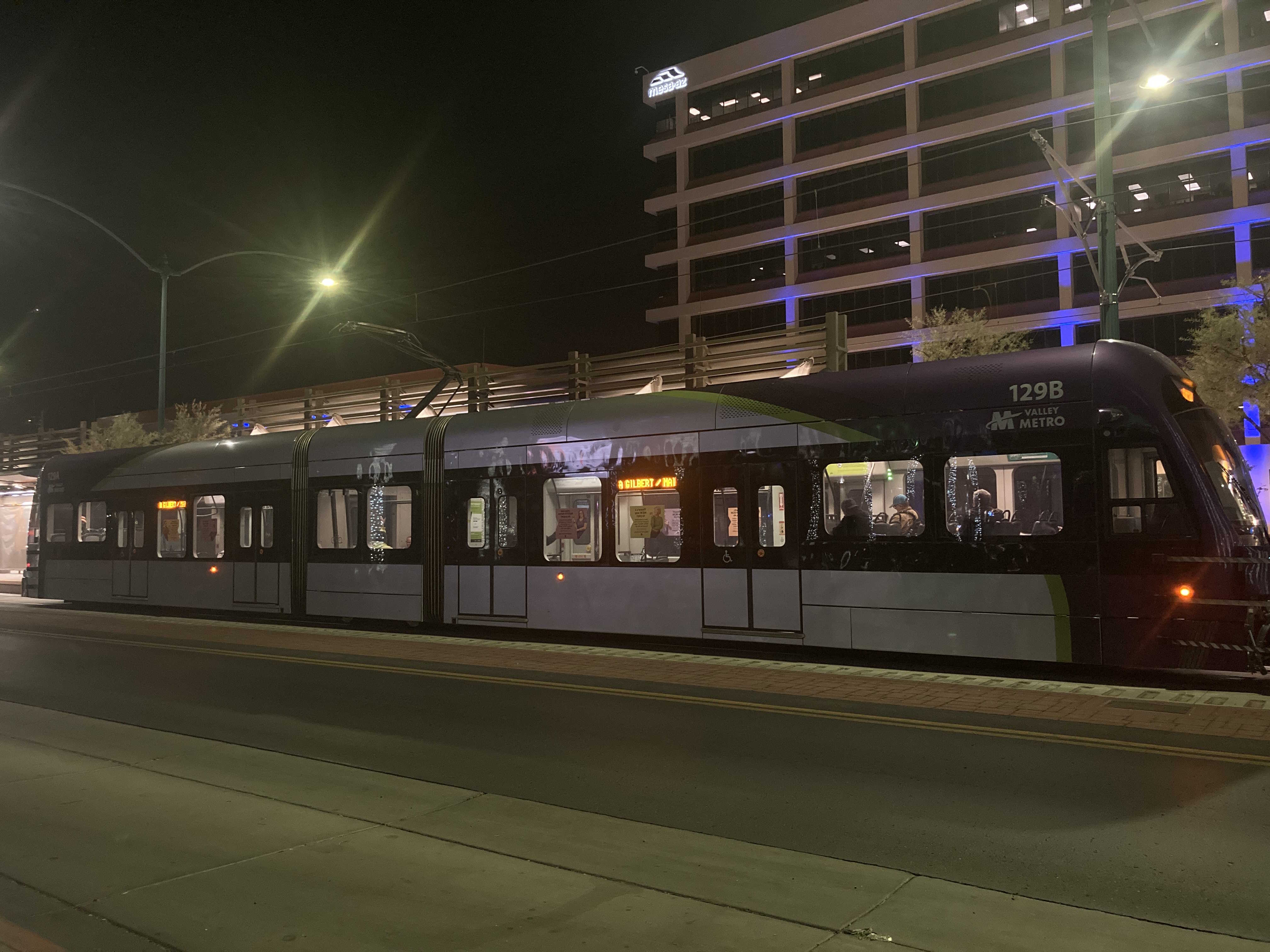
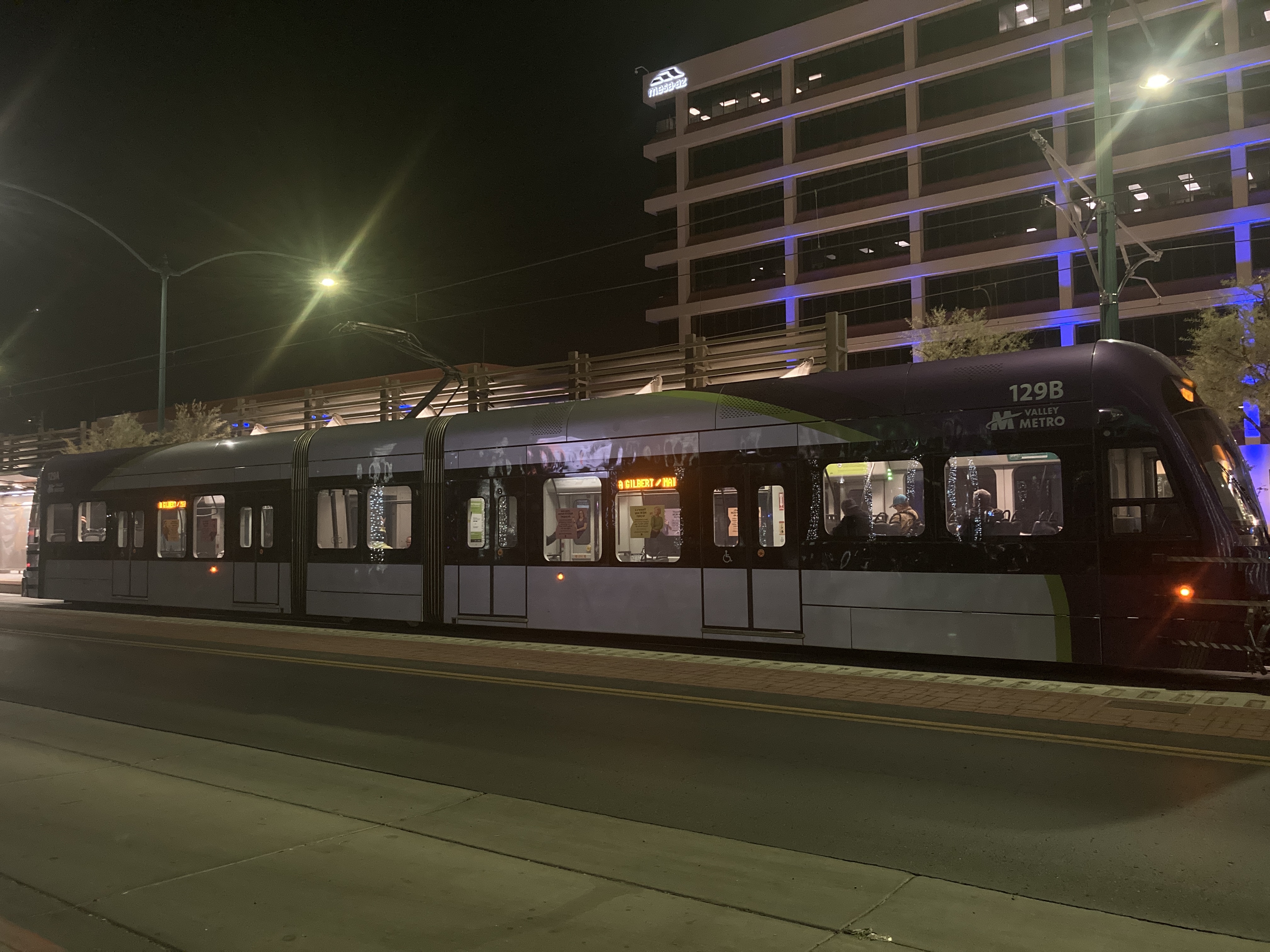
11/27/2024 - Train 129 traveling eastbound at Center/Main St station - Mesa
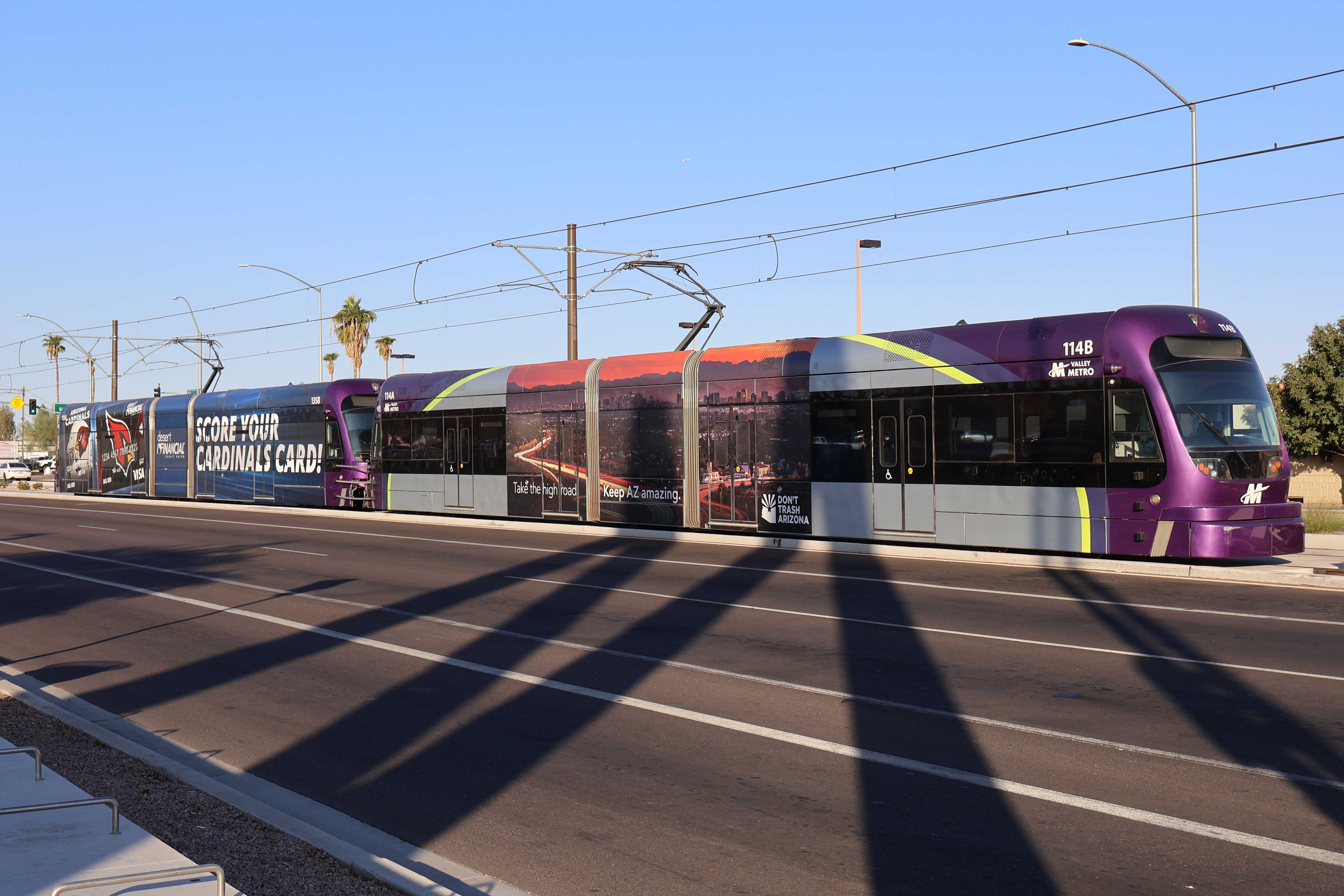
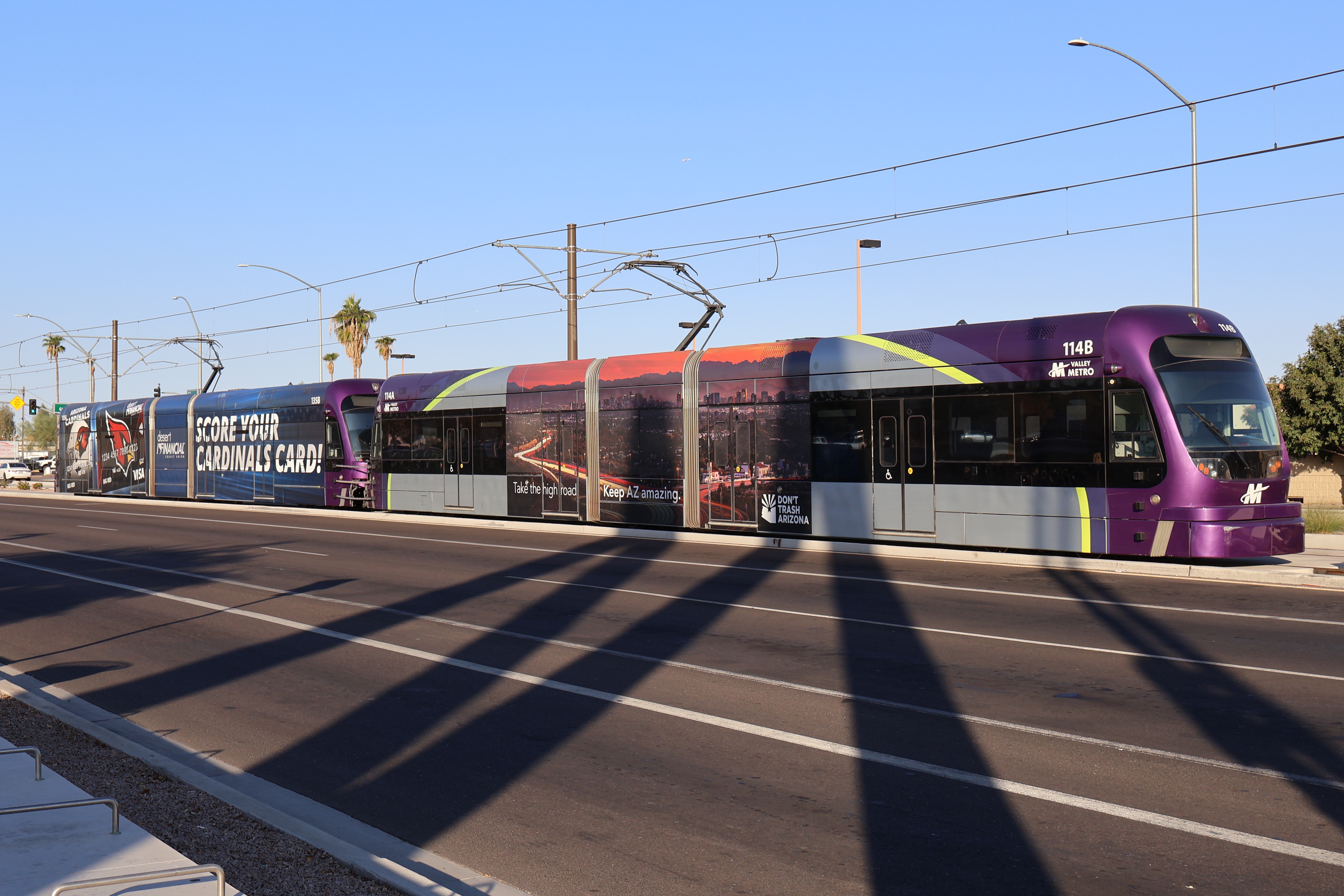
12/6/2024 - Trains 114 & 135 parked past Gilbert Rd/Main St station - Mesa
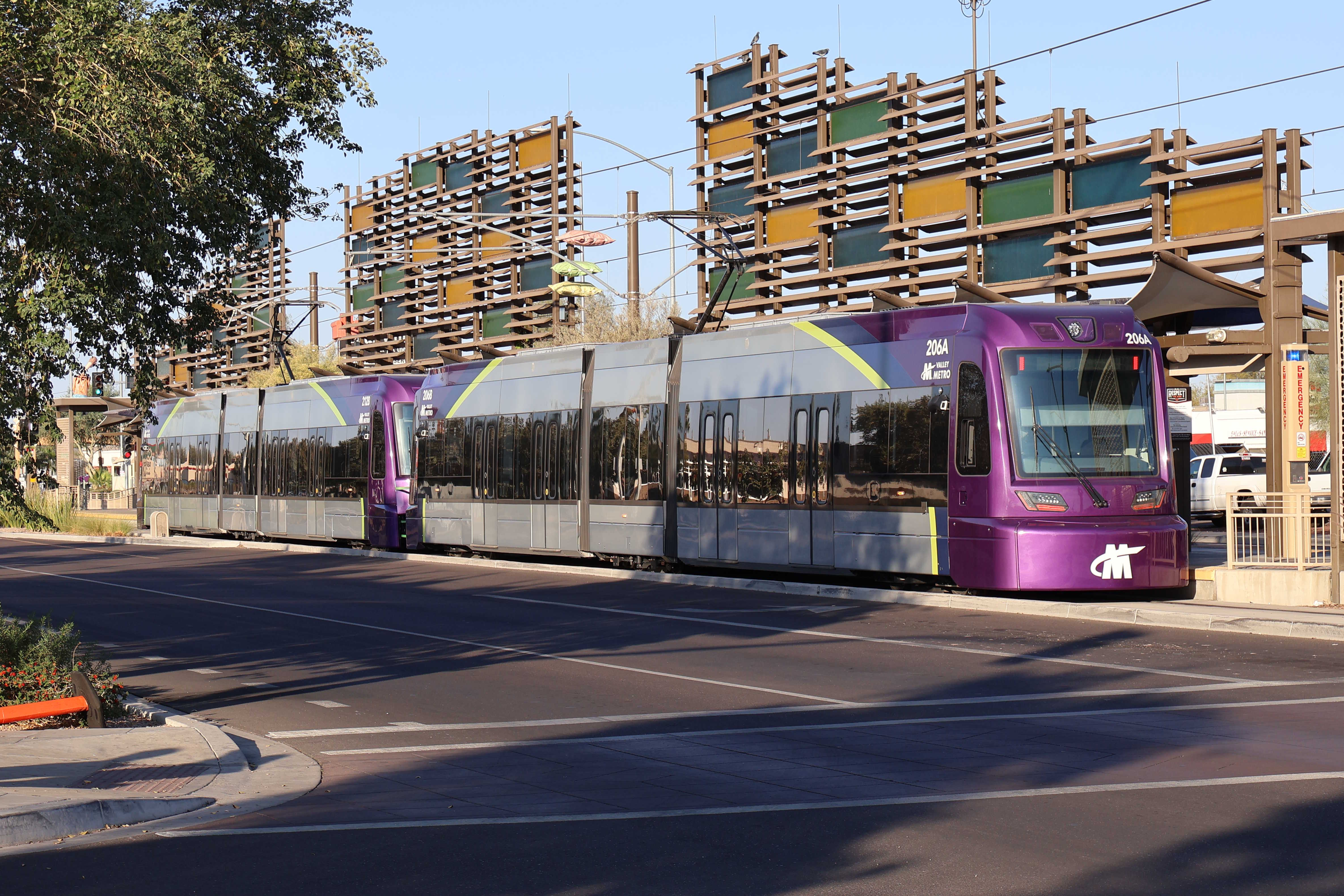
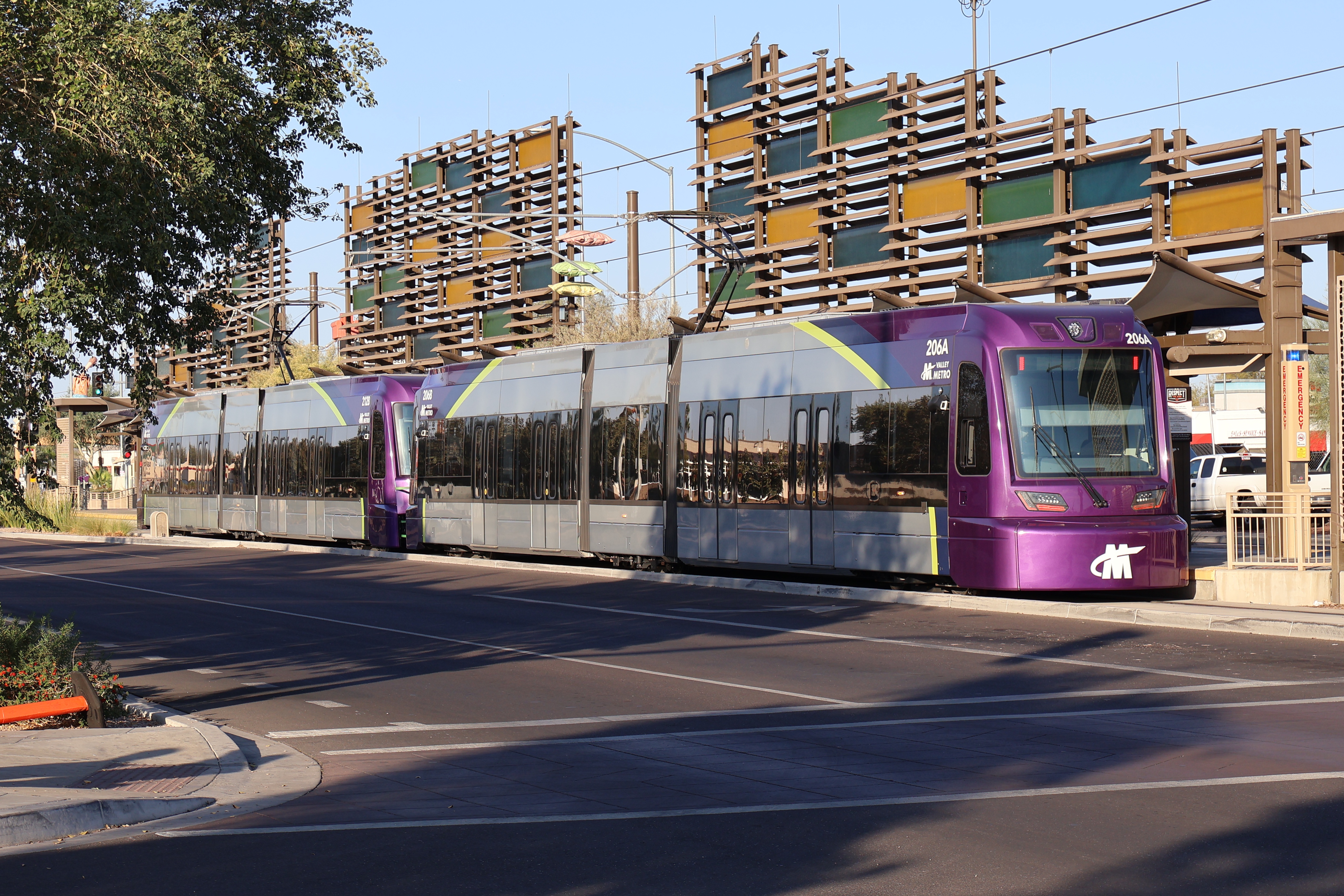
12/6/2024 - Trains 206 & 212 parked at Gilbert Rd/Main St station - Mesa
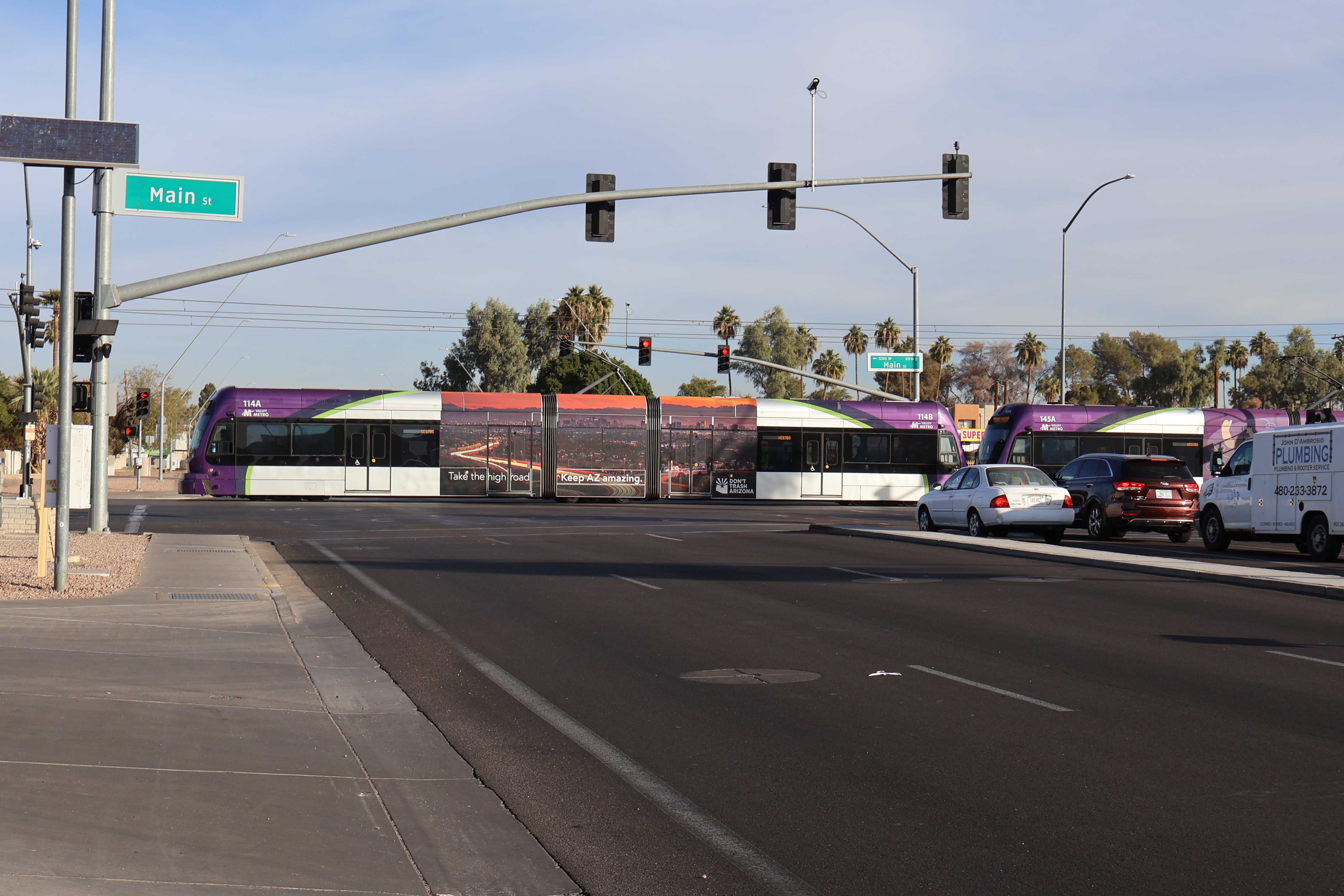
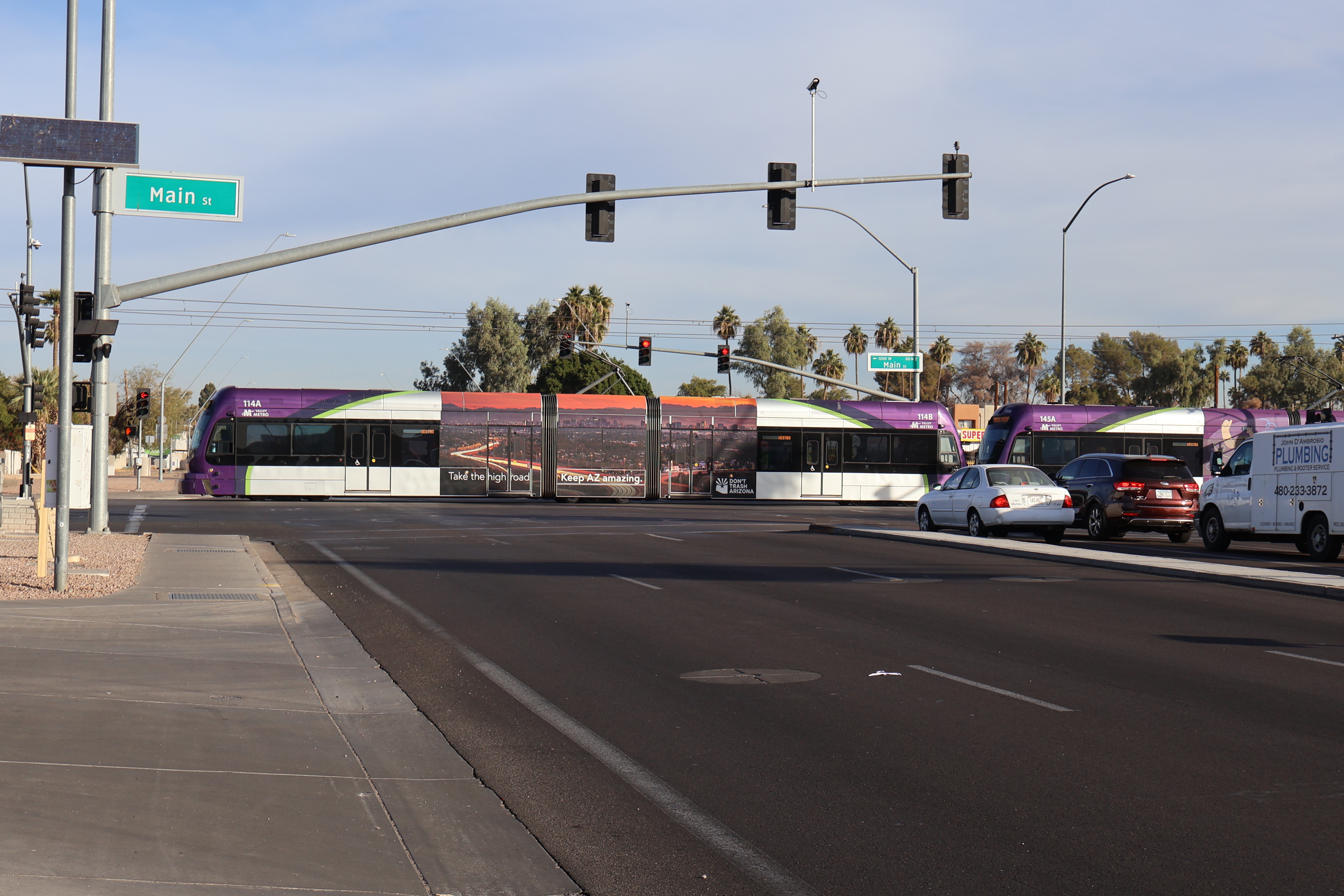
12/17/2024 - Trains 114 & 145 traveling westbound at Main St & Alma School Rd - Mesa
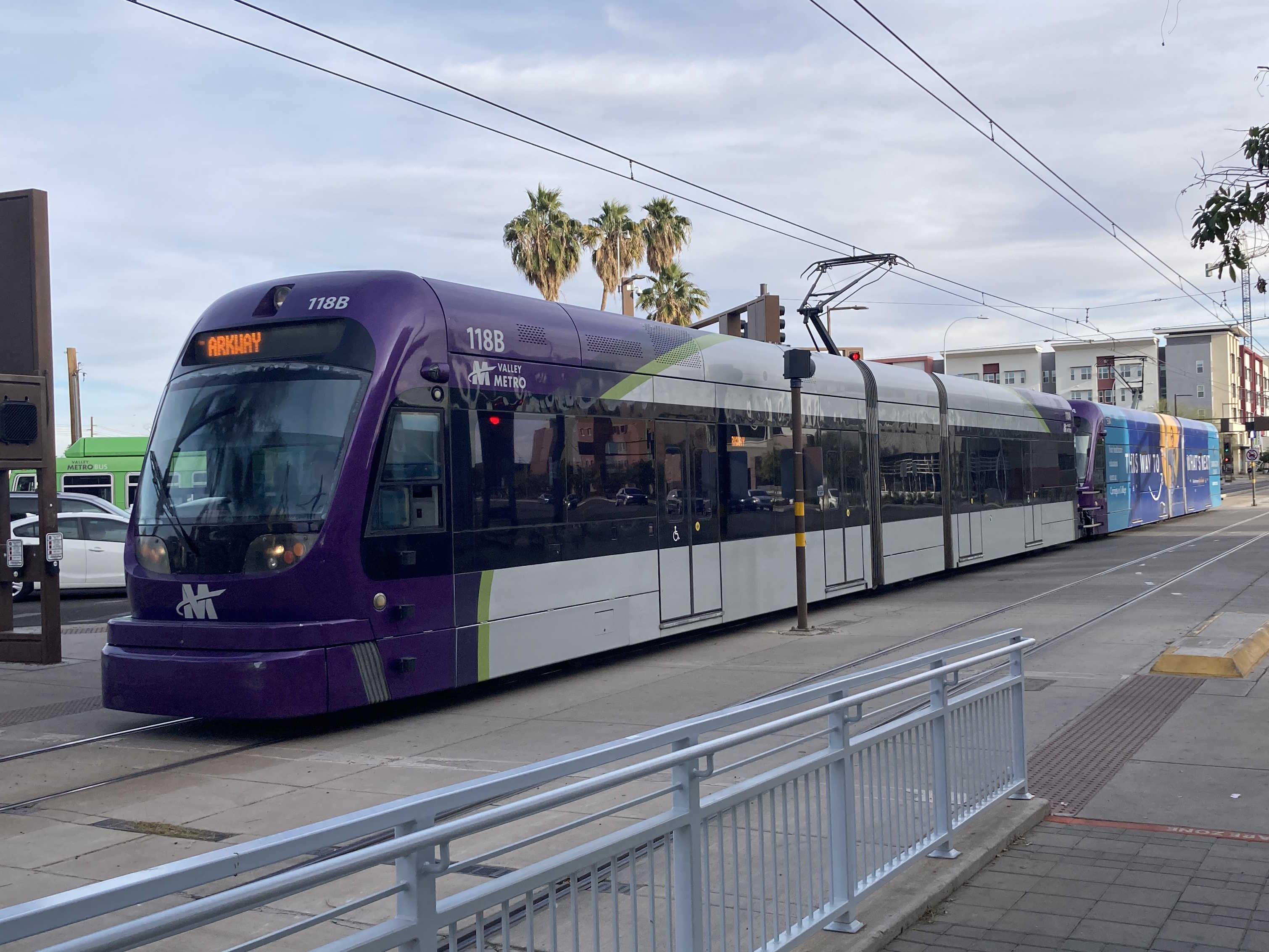
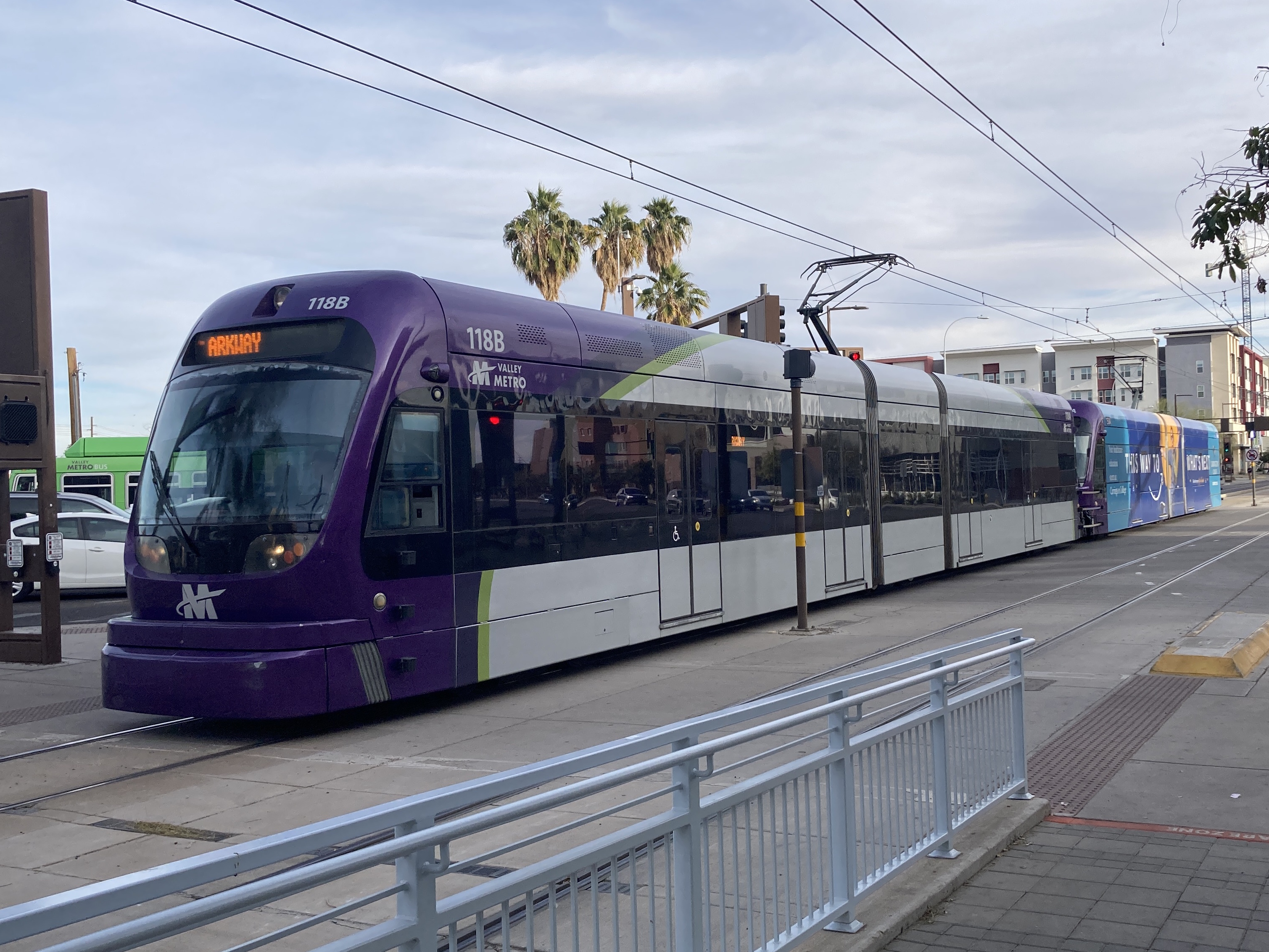
1/24/2025 - Trains 118 & 150 traveling westbound at Terrace Rd & Rural Rd - Tempe
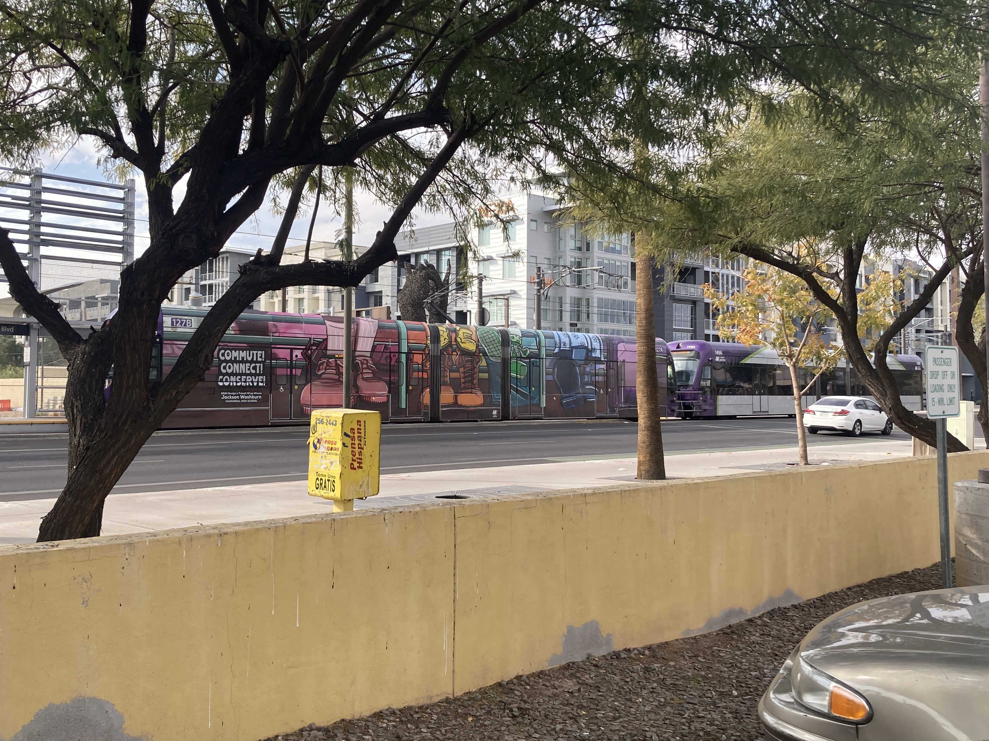
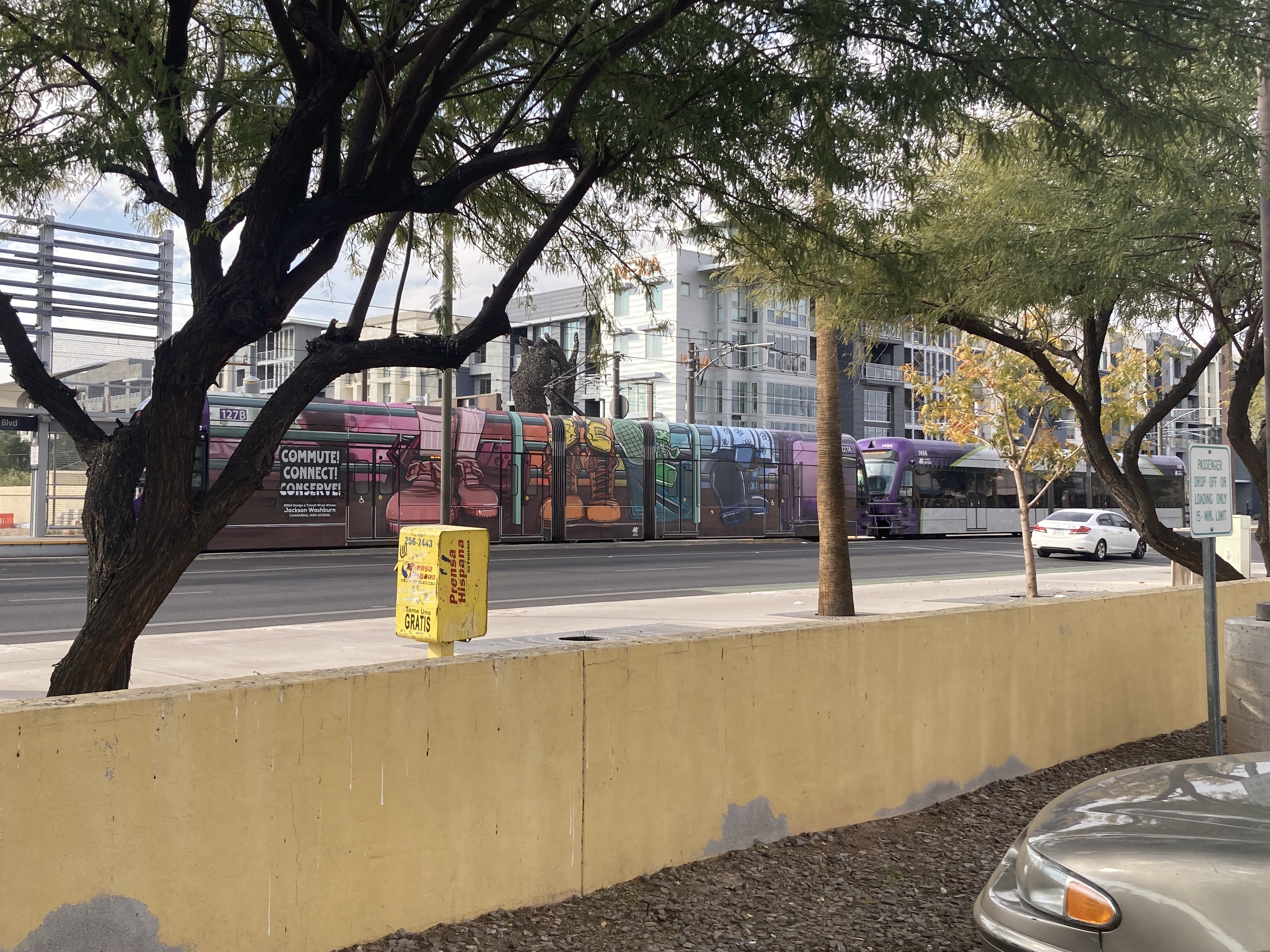
1/25/2025 - Trains 127 & 149 traveling westbound at Apache Blvd & Dorsey Ln - Tempe
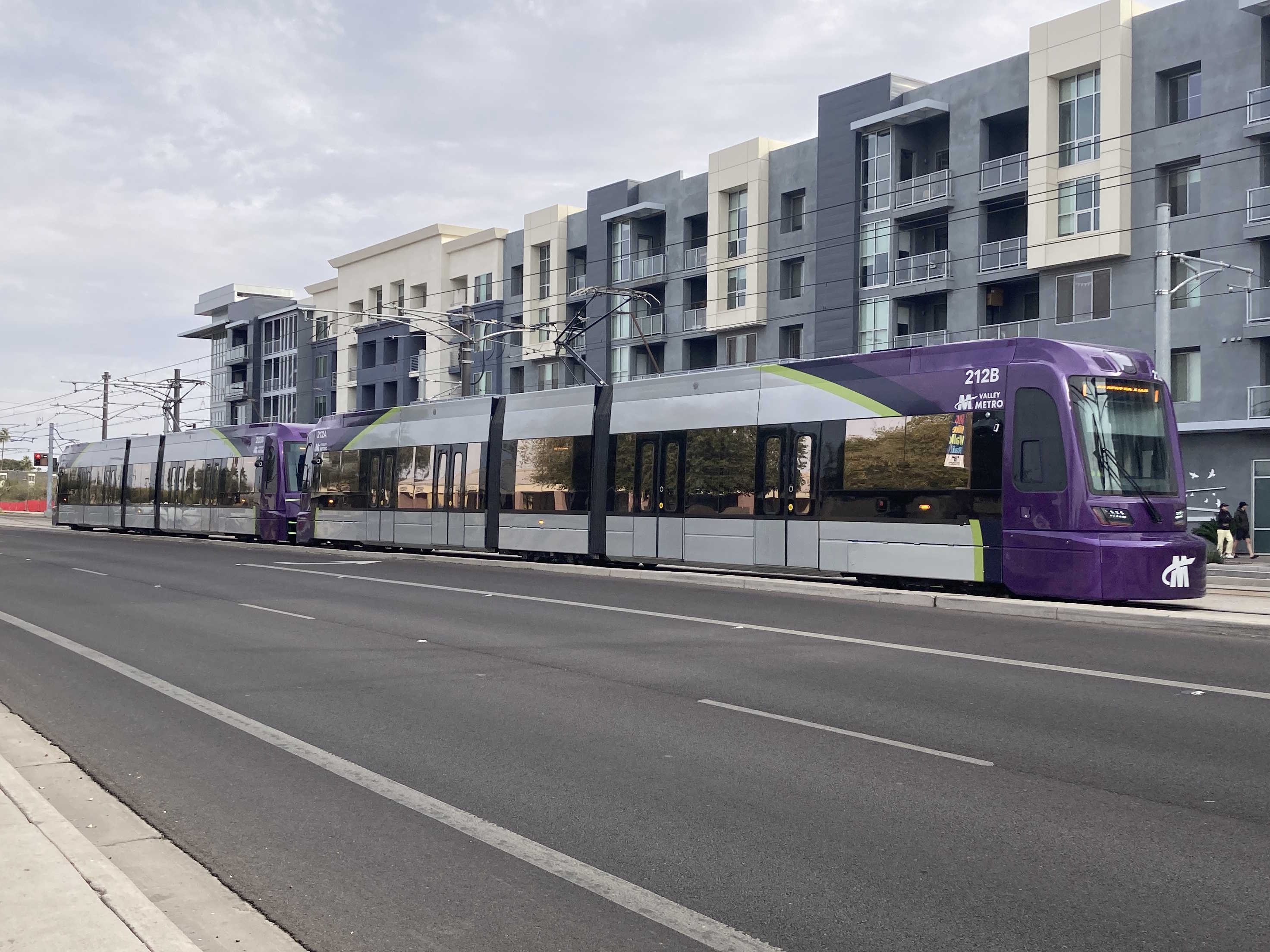
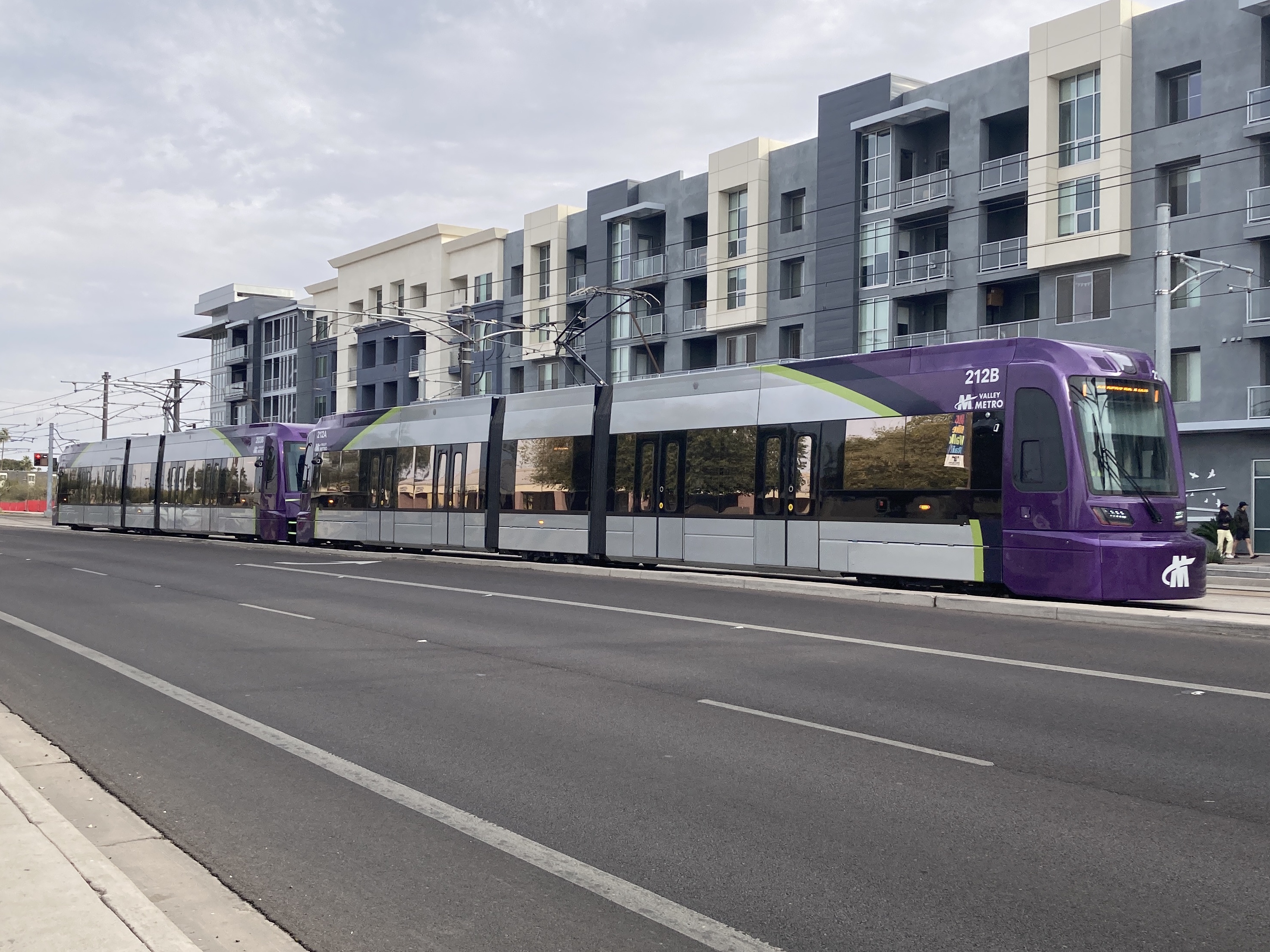
1/25/2025 - Trains 212 & 203 traveling westbound at Apache Blvd & Terrace Rd - Tempe
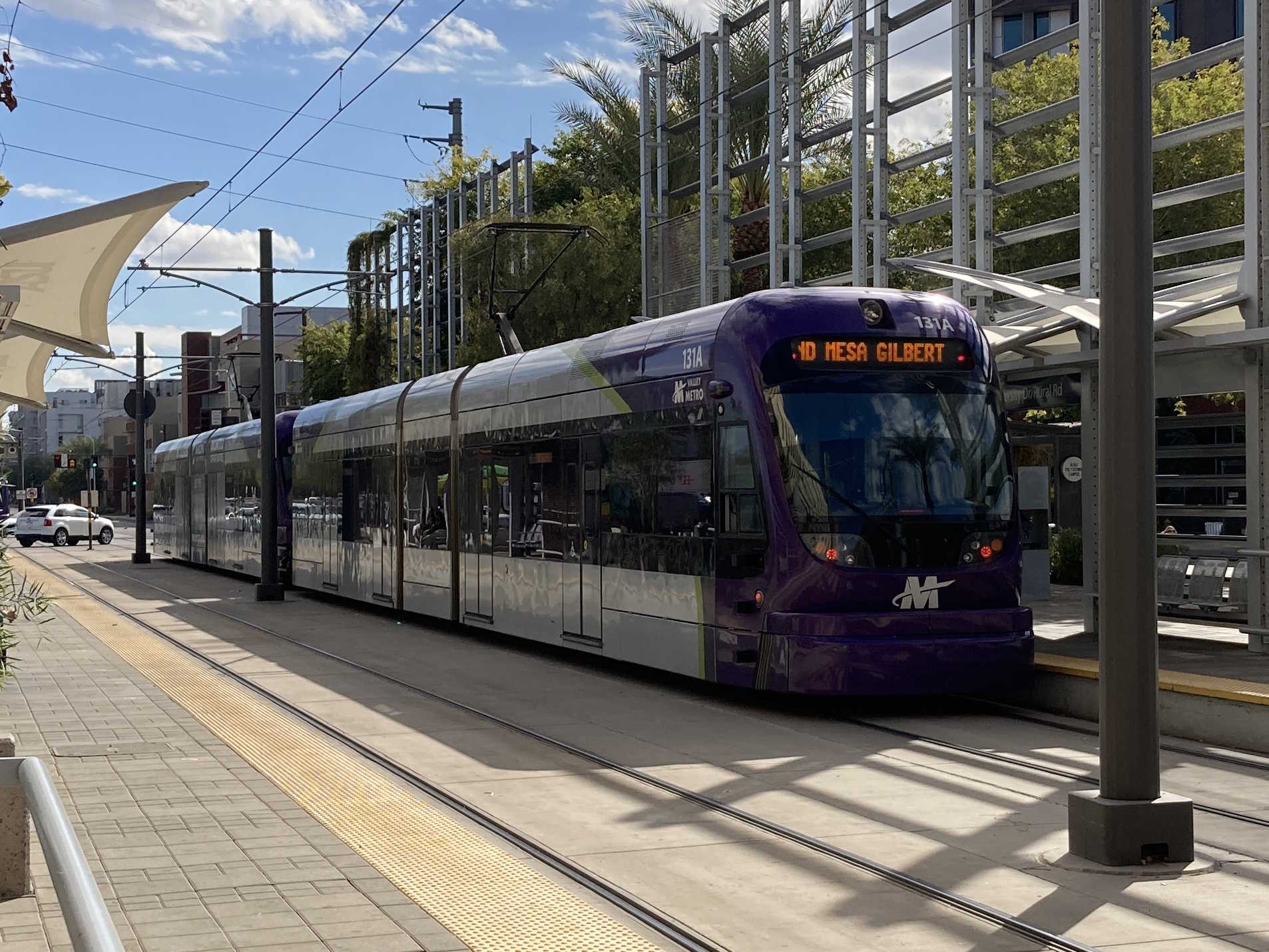
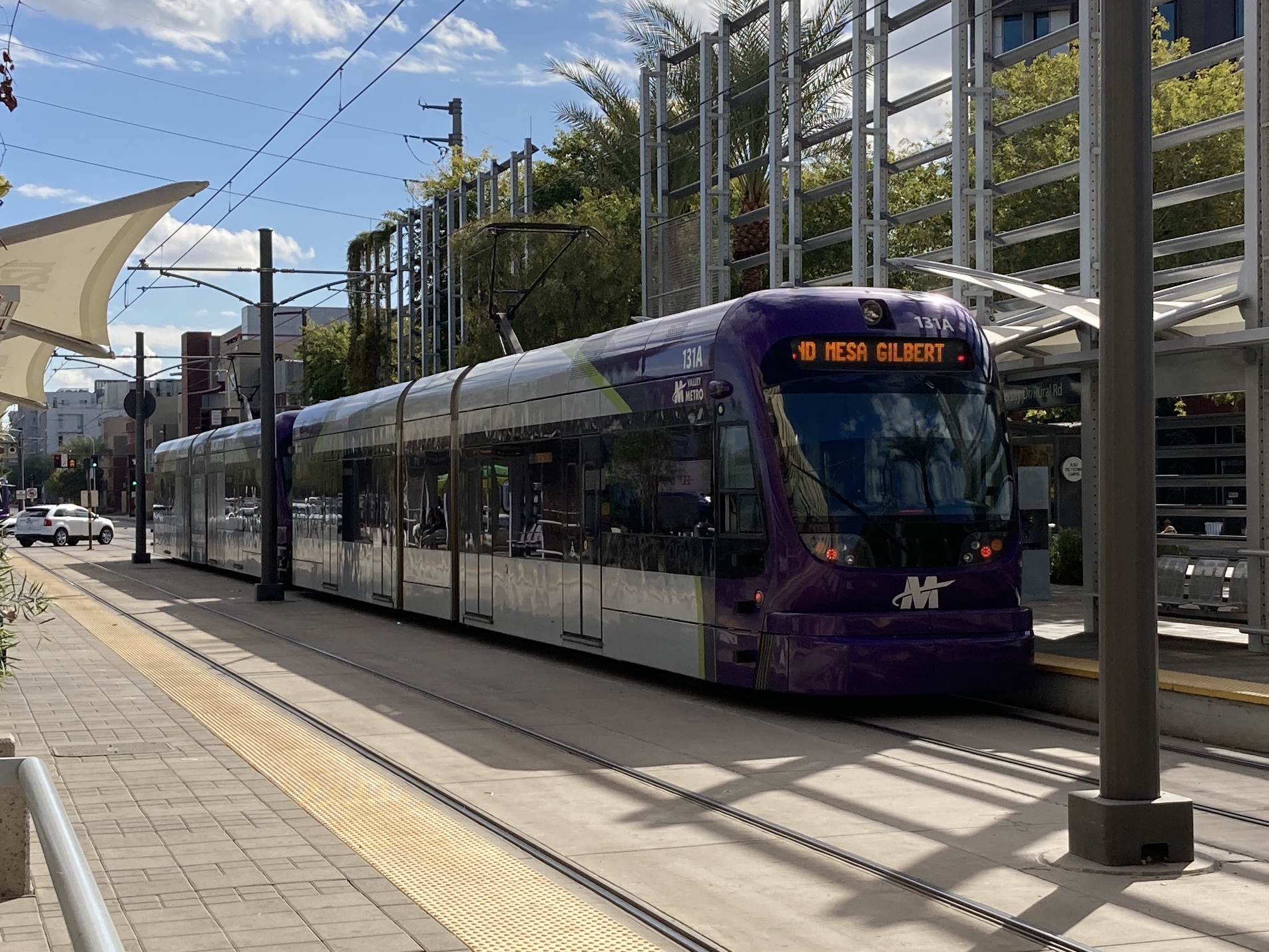
1/28/2025 - Train 131 traveling eastbound at University Dr/Rural Rd station - Tempe
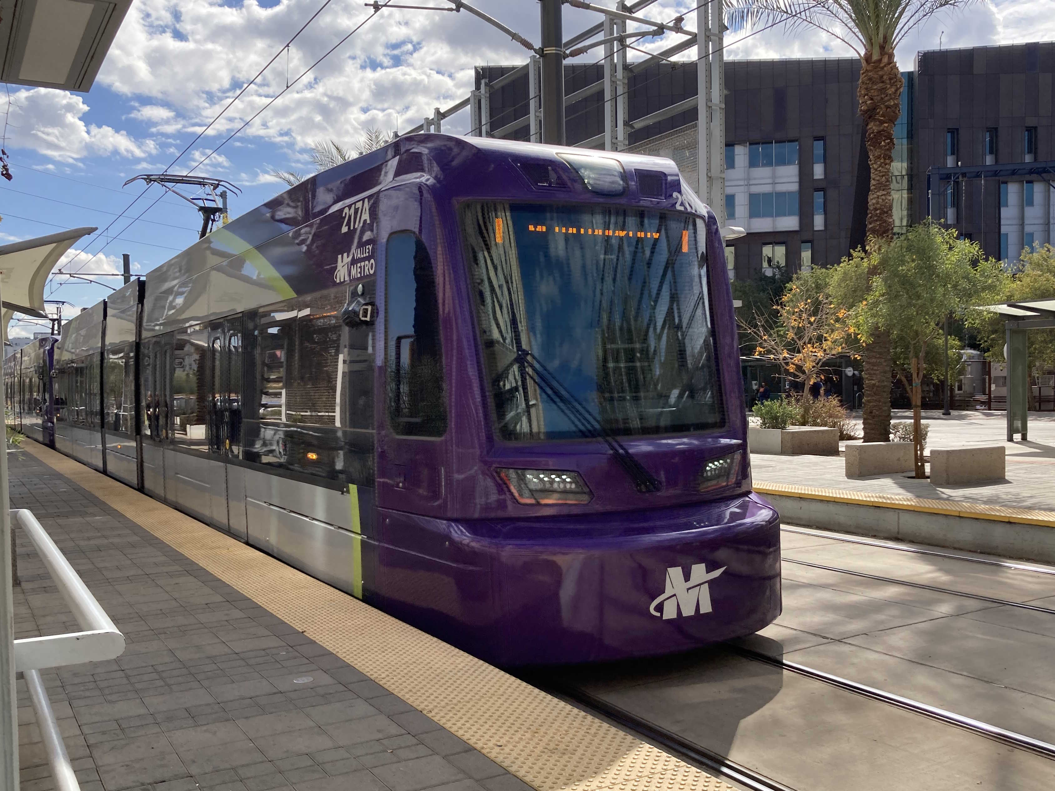
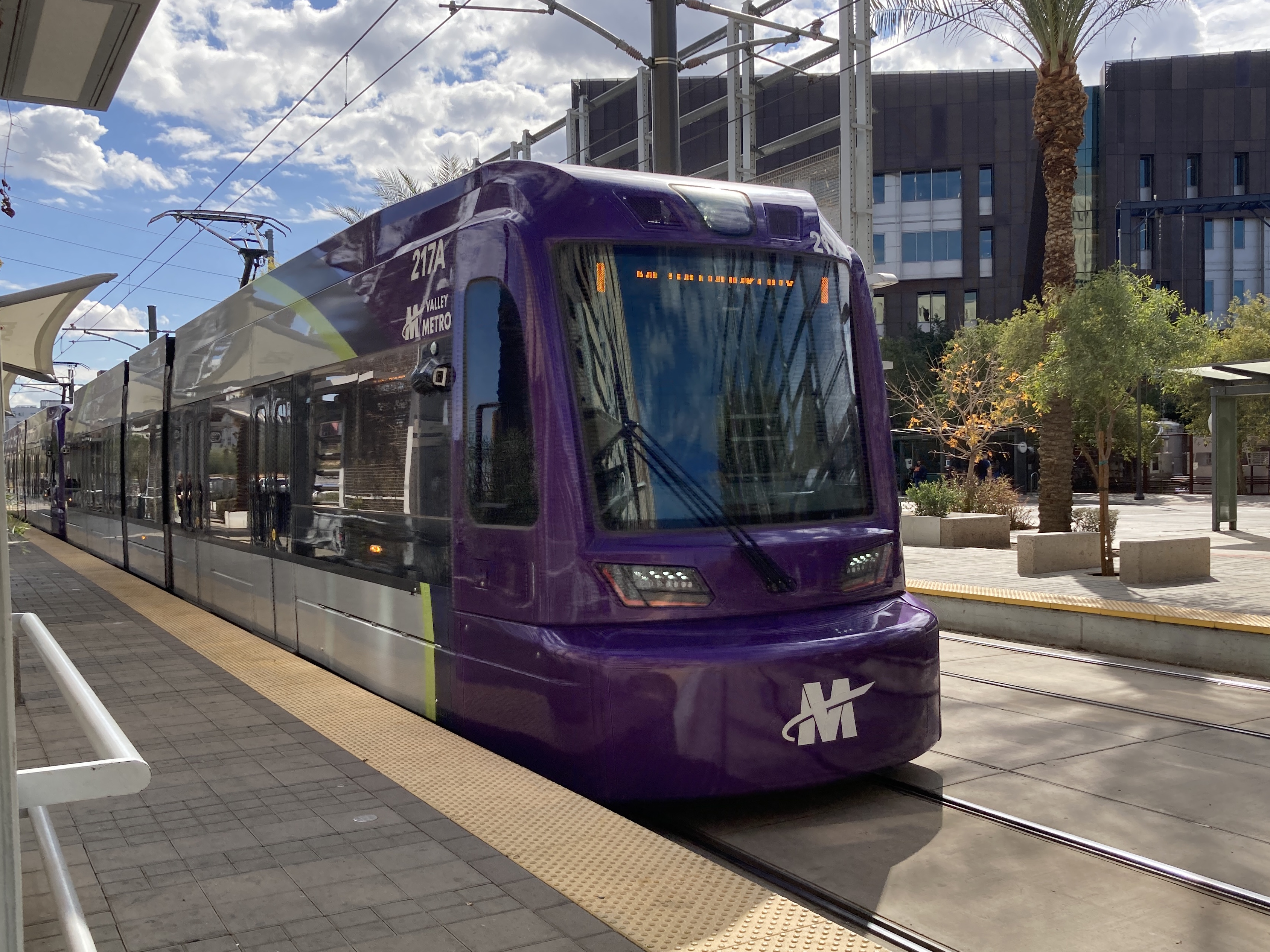
1/28/2025 - Train 217 traveling westbound at University Dr/Rural Rd station - Tempe
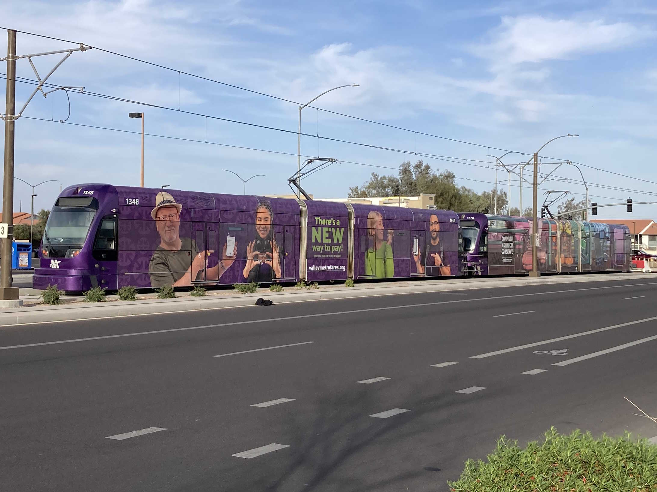
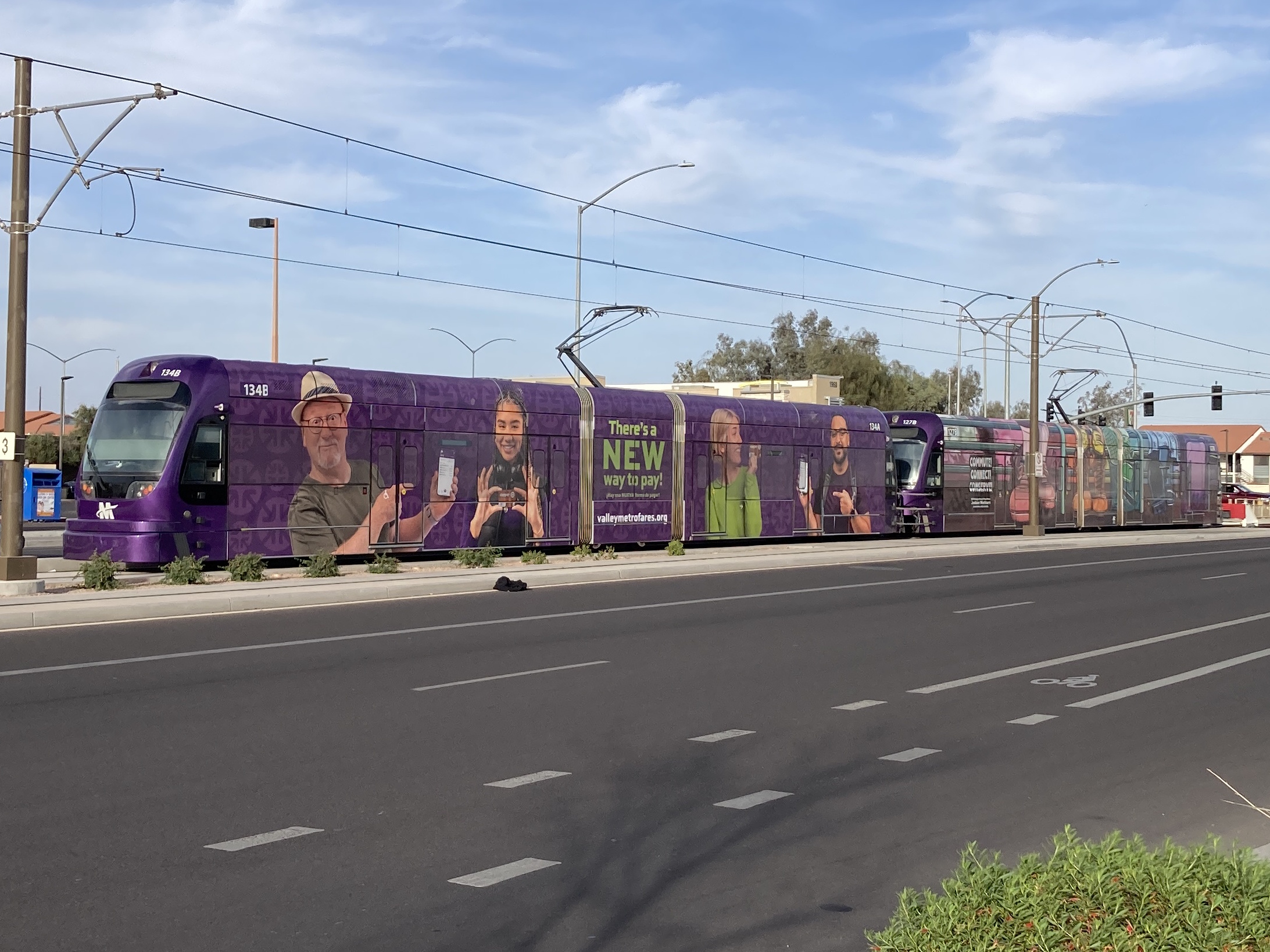
2/28/2025 - Trains 134 & 127 parked past Gilbert Rd/Main St station - Mesa
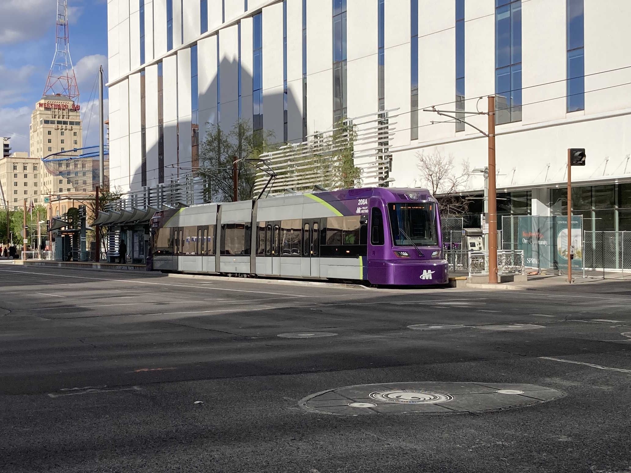
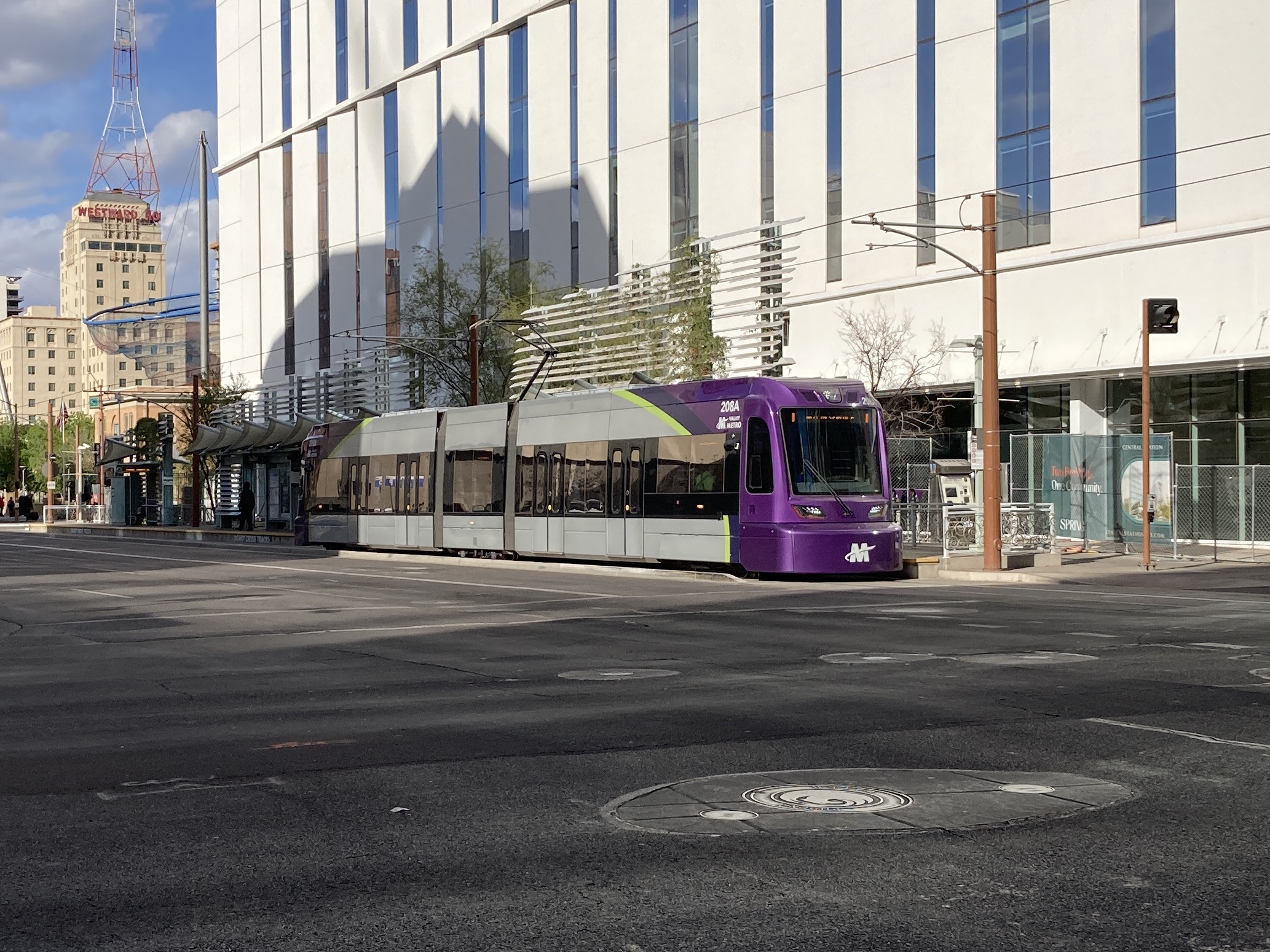
3/3/2025 - Train 208 traveling southbound at 1st Ave & Van Buren St - Phoenix
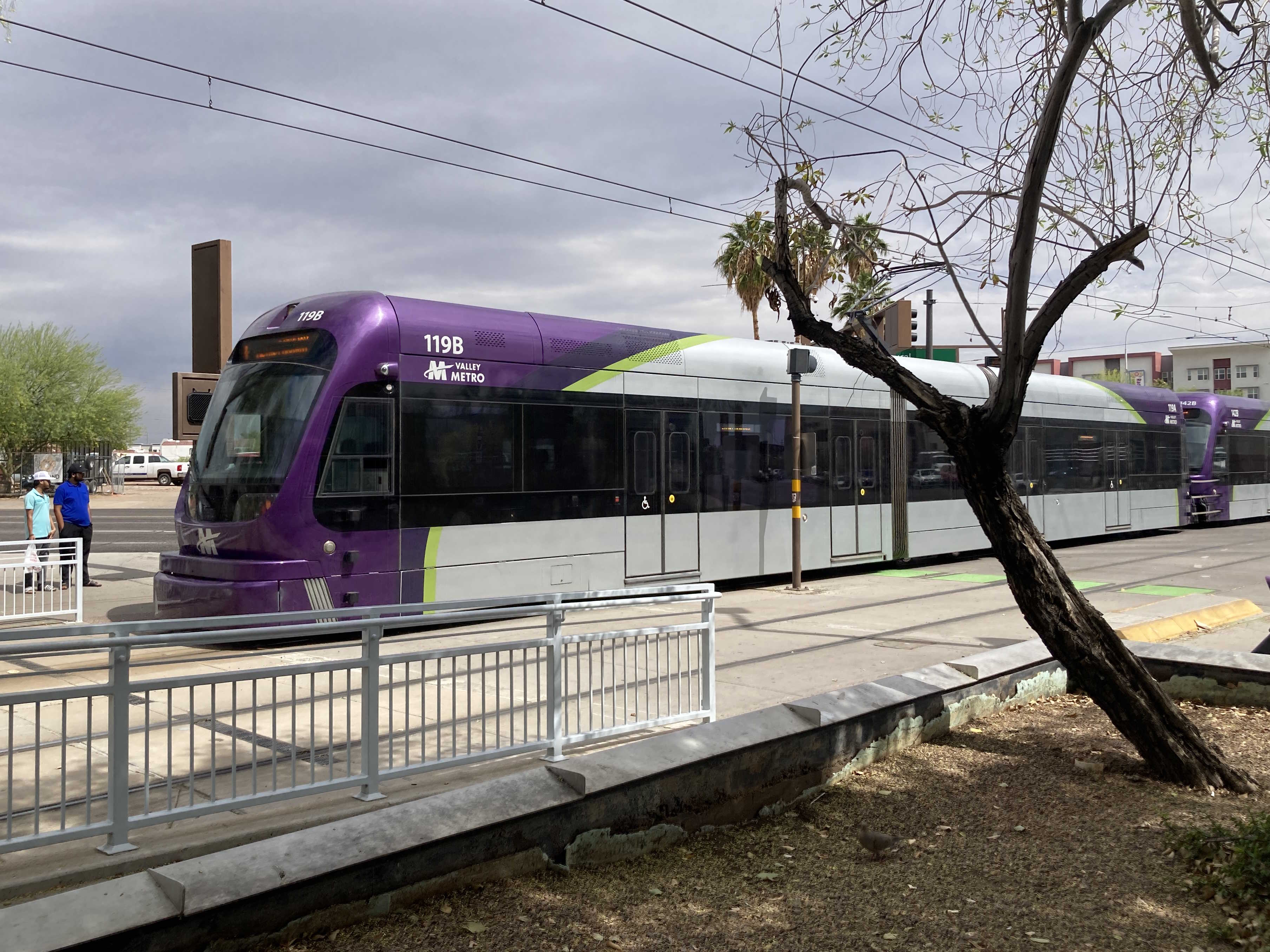
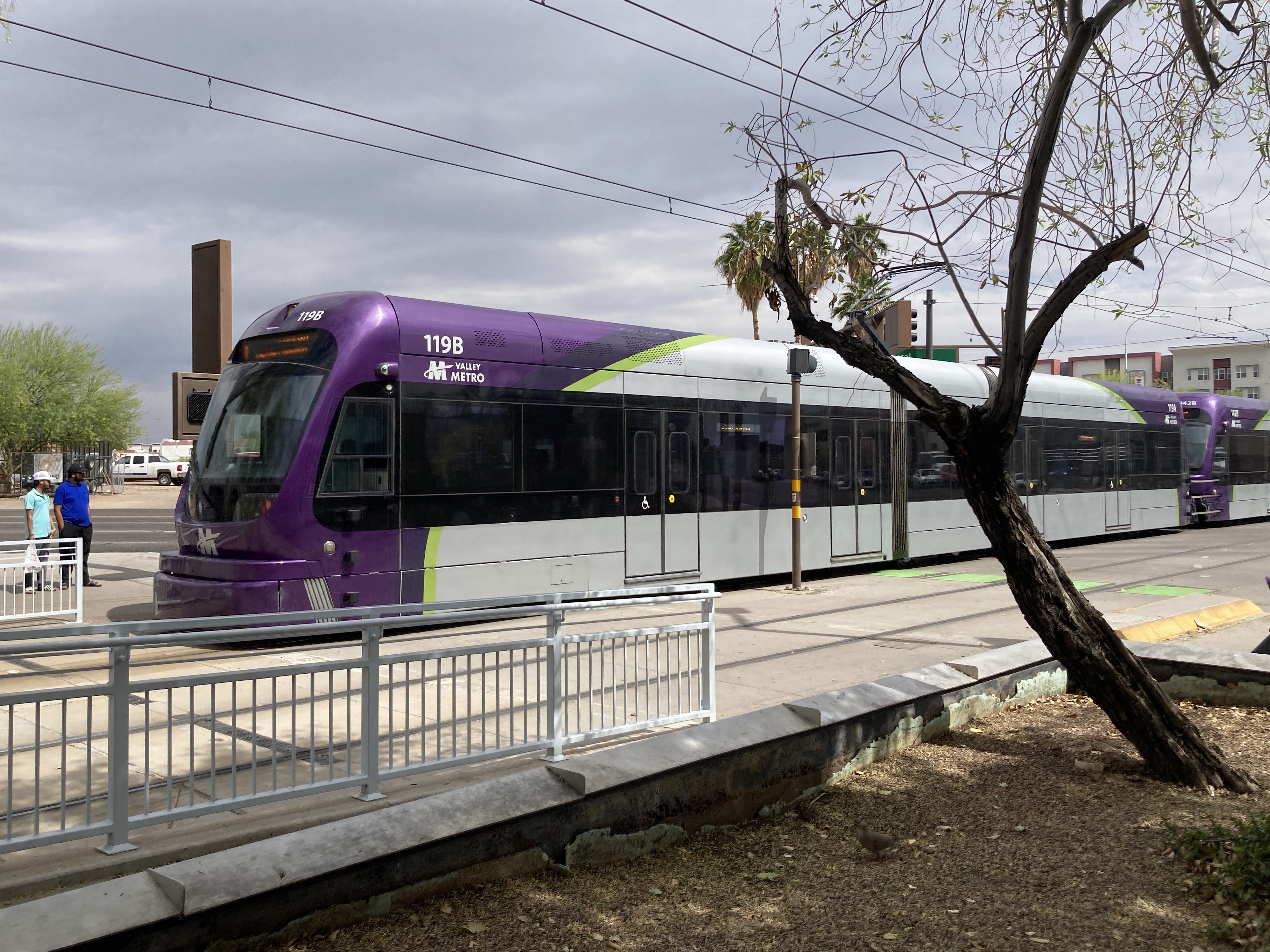
3/28/2025 - Trains 119 & 142 traveling westbound at University Dr/Rural Rd station - Tempe
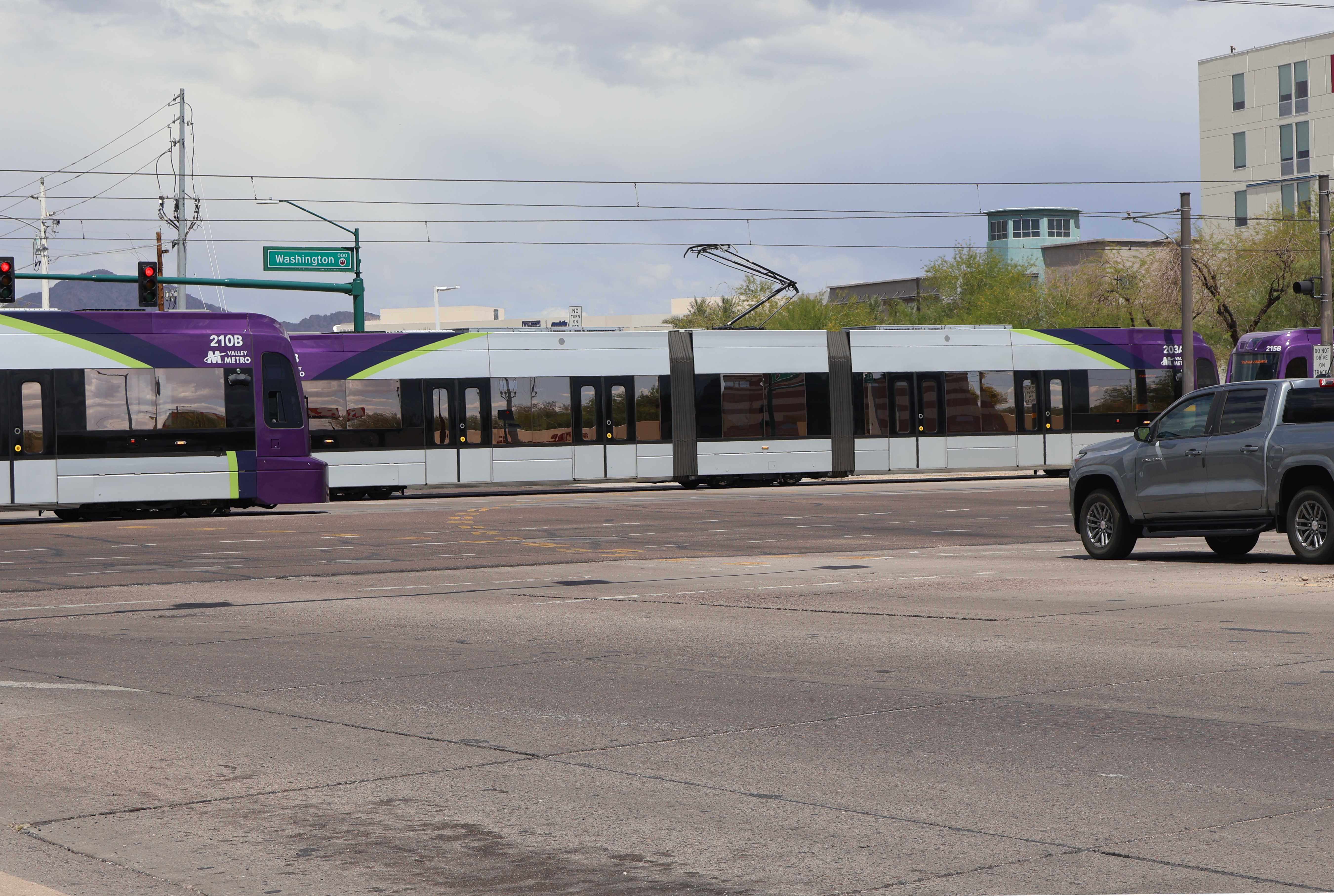
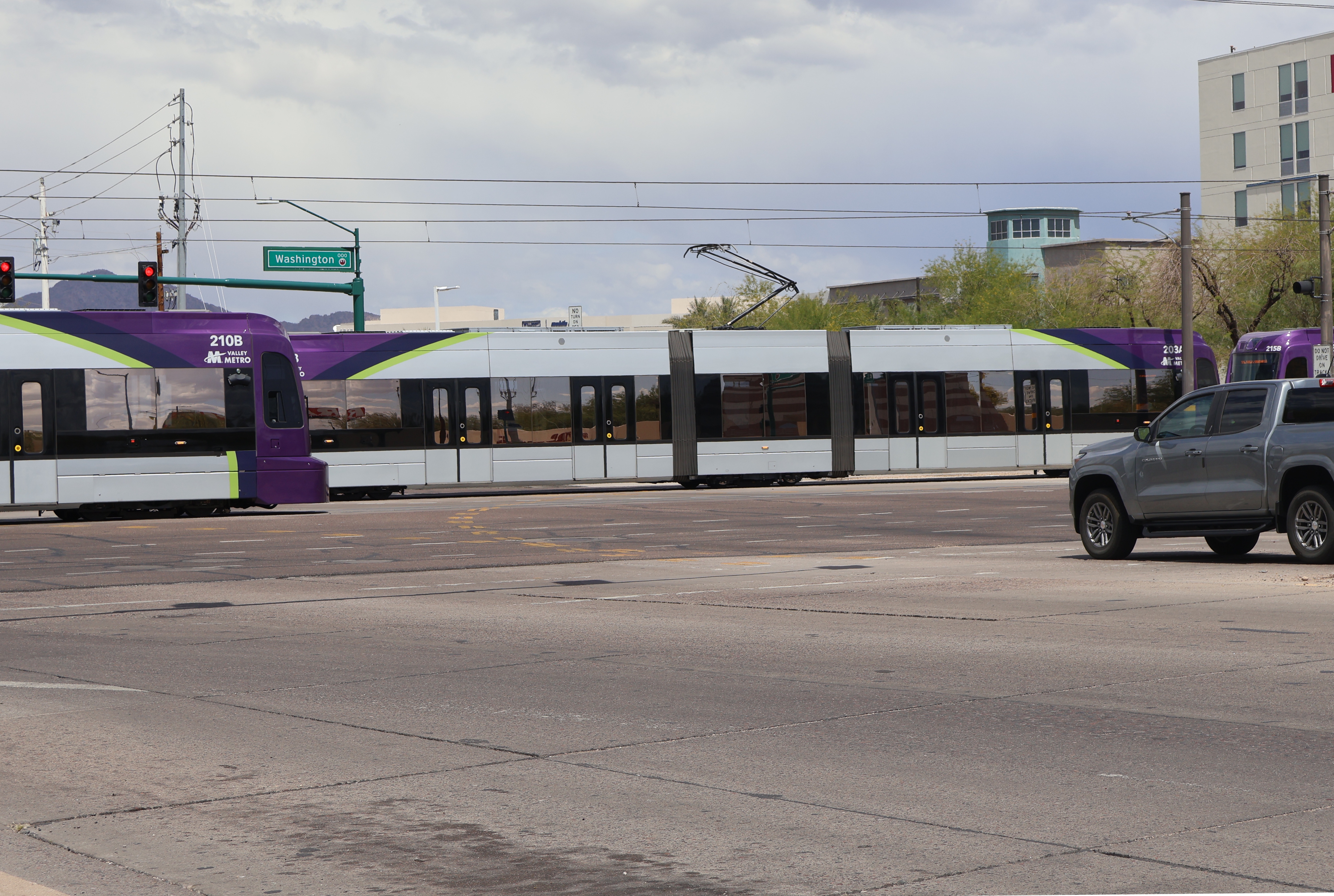
4/4/2025 - Trains 210, 203, & 205 traveling in opposite directions at Washington St & 44th St - Phoenix
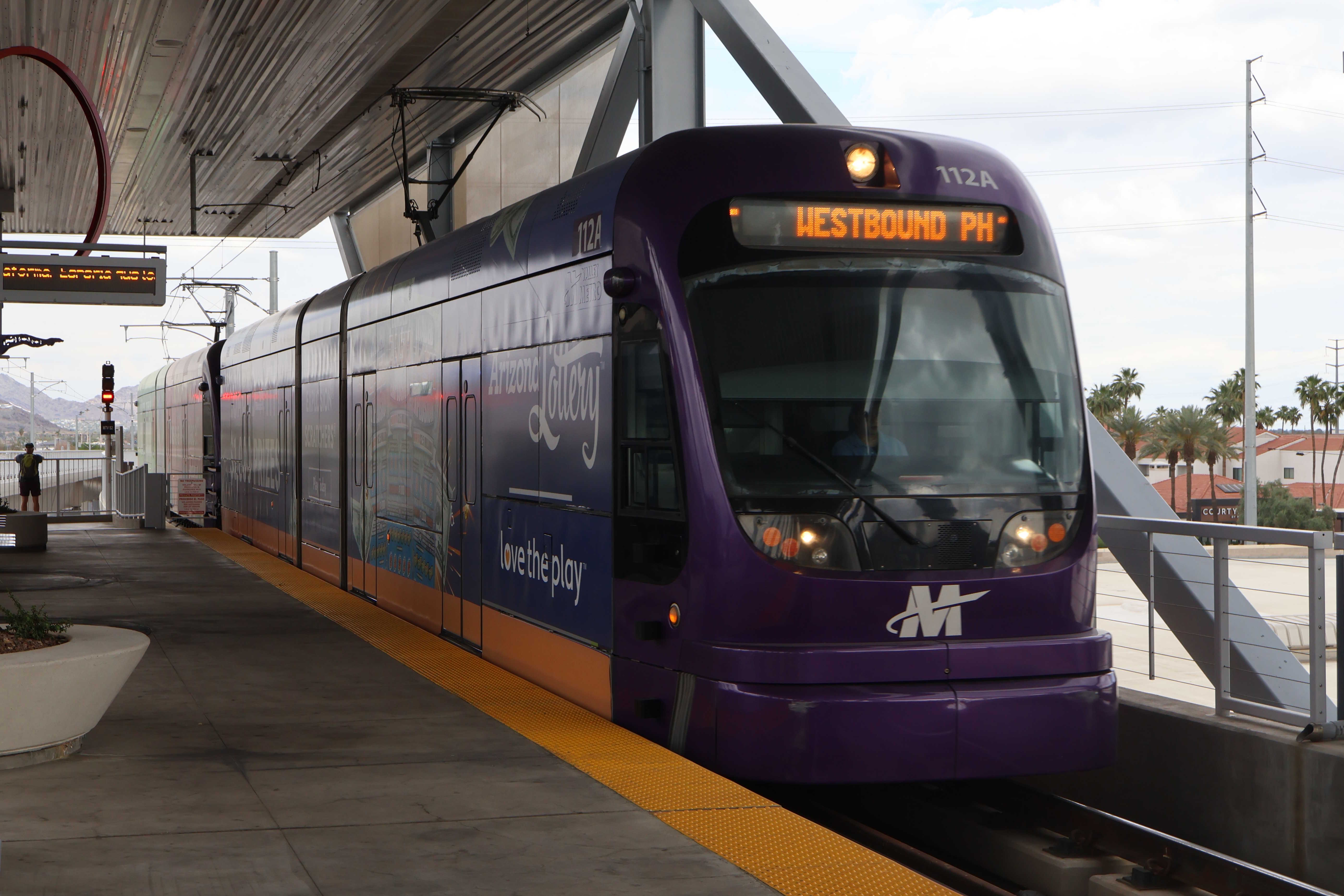
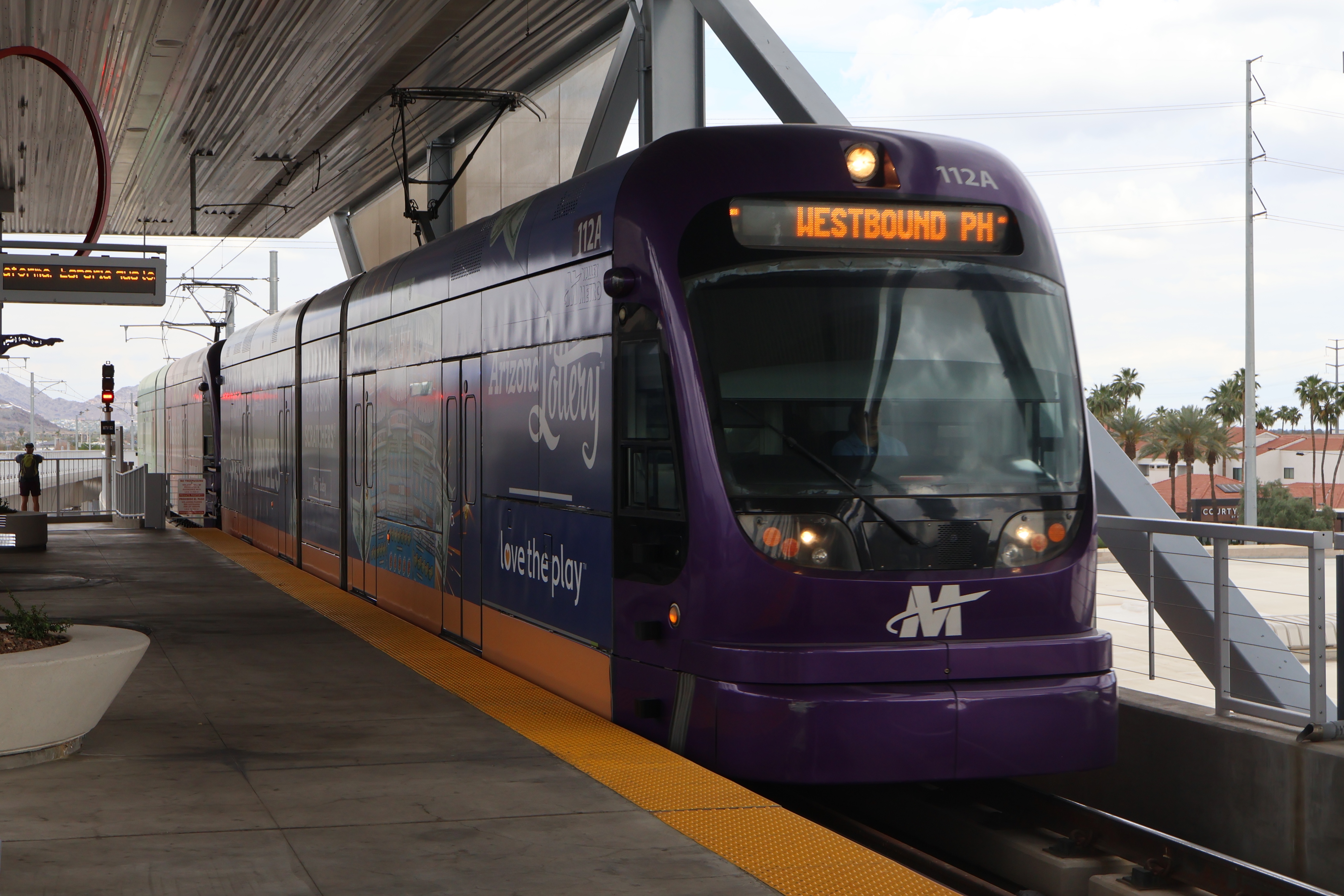
5/6/2025 - Train 112 traveling westbound at Metro Pkwy station - Phoenix
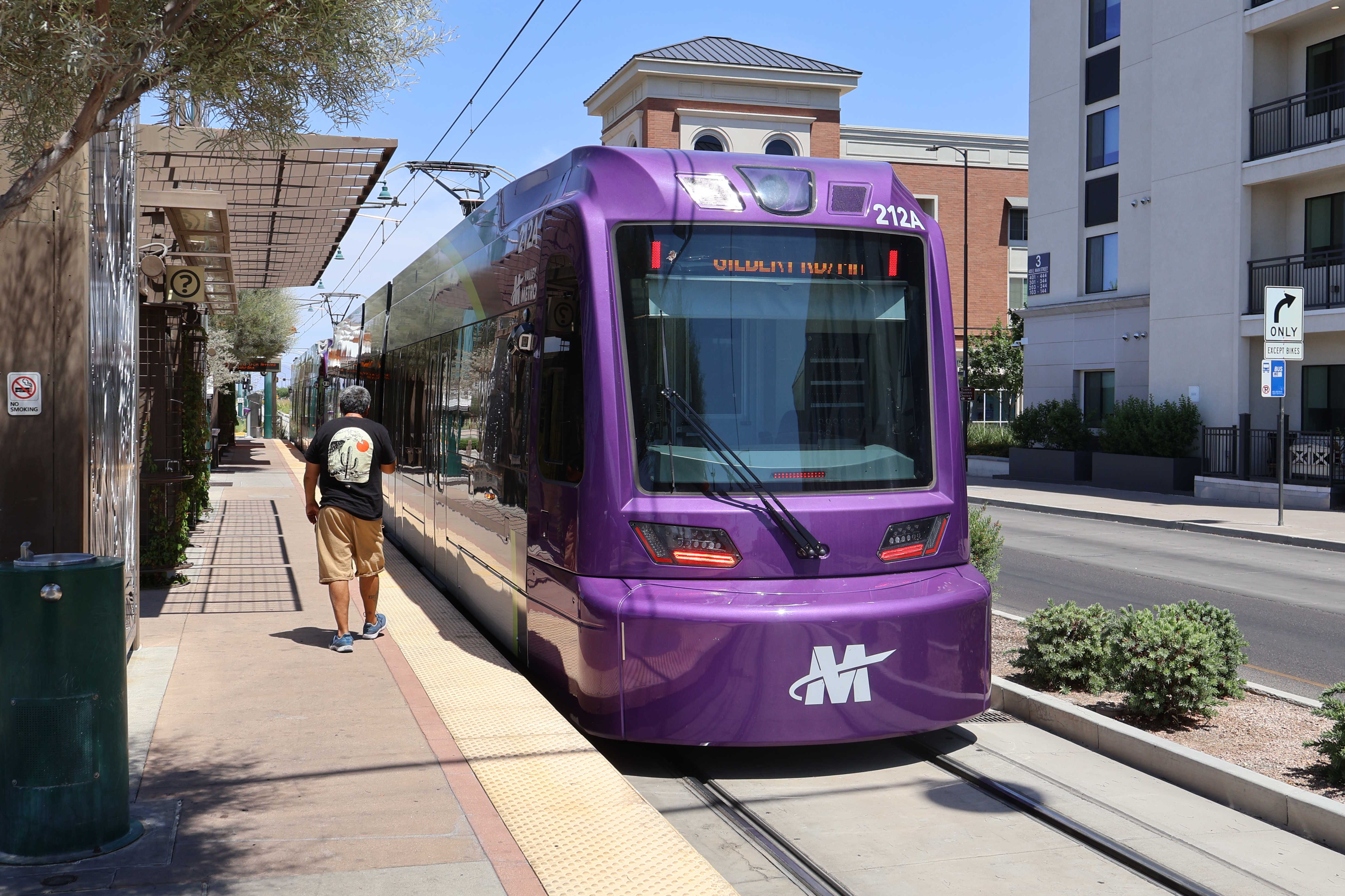
5/30/2025 - Train 212 traveling eastbound at Mesa Dr/Main St station - Phoenix
Page last updated:

