
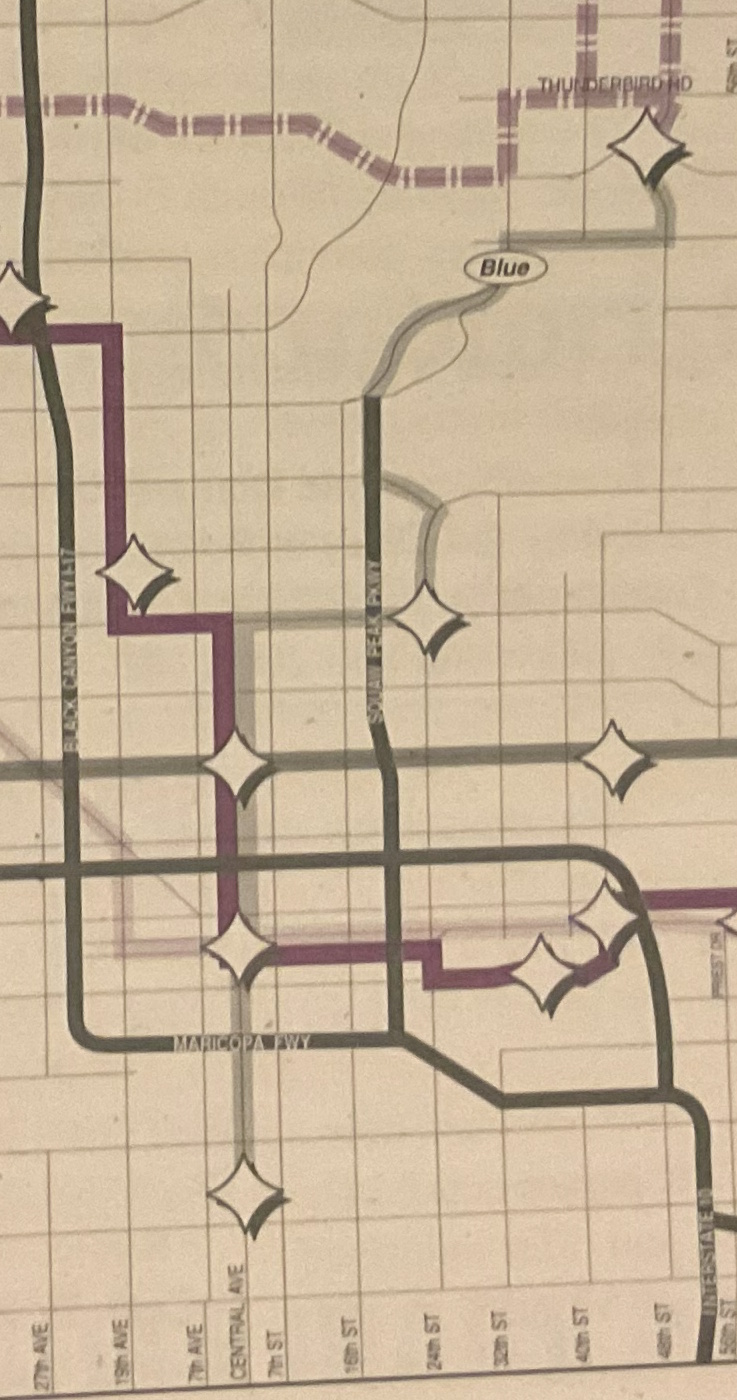
Blue Line
The Blue Line was one of four colored bus routes that directly served major shopping, employment, and entertainment centers around the valley. The Blue Line traveled from Ed Pastor Transit Center, up Central Ave through Downtown Phoenix, down Camelback Rd, 24th St, and Glendale Ave, up State Route 51, along 32nd St, Shea Blvd, and Tatum Blvd to Paradise Valley Mall, then up Thunderbird Rd, 40th St, Union Hills Dr, Tatum Blvd, and Mayo Blvd to the Mayo Hospital when it was eliminated in 2008.
Existed: 1993 - 2008
Full Length: 29 miles
Latest Full Route: Ed Pastor Transit Center to Phoenix Mayo Hospital
Original Full Route: Central Ave & Southern Ave to Paradise Valley Mall Transit Center
Connecting Routes: G R 0 1 3 7 7L 8 10 12 13 15 16 17 19 32 41 44 45 50 52 60 70 106 138 154 170 186 510 512 520 521 531 532 533 535 540 541 560 562 570 571 573 575 581 582 590 GL I10E I10W I17 SR51 DART DASH
History
- March 1, 1993 - The Blue, Red, Green, and Yellow lines were introduced as part of a bus restructuring plan to directly serve major shopping, employment, and entertainment centers around the valley. The Blue Line traveled from Central Ave & Southern Ave, up Central Ave, past the Biltmore, and up to Paradise Valley Mall. Despite being publicly advertised as the Blue Line, it seemed to also have an internal route number of 302.
- August 14, 2000 - Some time before this point, the northern end of the route was extended up Tatum Blvd and Mayo Blvd to the Phoenix Mayo Hospital (now Mayo Clinic)
- February 24, 2003 - Southern end of the route modified to terminate at the new Ed Pastor Transit Center
- December 29, 2008 - Route eliminated when the light rail was introduced
Page last updated: